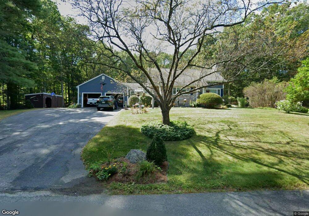
38 Cross St Dunstable, MA 01827
Estimated Value: $551,000 - $655,000
3
Beds
2
Baths
1,710
Sq Ft
$343/Sq Ft
Est. Value
About This Home
This home is located at 38 Cross St, Dunstable, MA 01827 and is currently estimated at $586,789, approximately $343 per square foot. 38 Cross St is a home located in Middlesex County with nearby schools including Groton Dunstable Regional High School and 2nd Nature Academy.
Ownership History
Date
Name
Owned For
Owner Type
Purchase Details
Closed on
Sep 13, 2023
Sold by
Lyon Linda A and Lyon William J
Bought by
Linda A Lyon Int A and Linda Lyon
Current Estimated Value
Purchase Details
Closed on
Apr 5, 1977
Bought by
Lyon William and Lyon Linda
Create a Home Valuation Report for This Property
The Home Valuation Report is an in-depth analysis detailing your home's value as well as a comparison with similar homes in the area
Home Values in the Area
Average Home Value in this Area
Purchase History
We collect this data history from publicly available records. To have your information removed, we recommend requesting removal directly through your county’s website.
| Date | Buyer | Sale Price | Title Company |
|---|---|---|---|
| Linda A Lyon Int A | -- | None Available | |
| Lyon William | $25,000 | -- |
Source: Public Records
Mortgage History
We collect this data history from publicly available records. To have your information removed, we recommend requesting removal directly through your county’s website.
| Date | Status | Borrower | Loan Amount |
|---|---|---|---|
| Previous Owner | Lyon William | $50,000 | |
| Previous Owner | Lyon William | $25,000 |
Source: Public Records
Tax History
| Year | Tax Paid | Tax Assessment Tax Assessment Total Assessment is a certain percentage of the fair market value that is determined by local assessors to be the total taxable value of land and additions on the property. | Land | Improvement |
|---|---|---|---|---|
| 2025 | $6,736 | $489,900 | $213,200 | $276,700 |
| 2024 | $6,480 | $464,200 | $196,600 | $267,600 |
| 2023 | $6,376 | $425,900 | $196,600 | $229,300 |
| 2022 | $6,298 | $413,000 | $196,600 | $216,400 |
| 2021 | $12,622 | $366,300 | $180,200 | $186,100 |
| 2020 | $10,430 | $359,600 | $180,200 | $179,400 |
| 2019 | $5,971 | $350,000 | $180,200 | $169,800 |
| 2018 | $8,158 | $329,900 | $180,100 | $149,800 |
| 2017 | $9,369 | $326,600 | $180,100 | $146,500 |
| 2016 | $5,117 | $309,200 | $171,900 | $137,300 |
| 2015 | $4,863 | $290,700 | $144,200 | $146,500 |
| 2014 | $4,526 | $287,000 | $144,200 | $142,800 |
Source: Public Records
Map
Nearby Homes
- 54 Depot St
- 153 Off Pond St
- 12 Massapoag Way
- 235 Kemp St
- 731 Chicopee Row
- 108 Lowell Rd
- 0 Lowell St
- 16 Unkety Brook Way
- 473 High St
- 41 Chestnut Rd
- 0 Old Dunstable Rd
- 30 Ridge Rd
- 10 1st Ave
- 67 Cherry Hollow Rd Unit U110
- 23 Goldfinch Ln Unit U89
- 38 Green Heron Ln Unit U81
- 1 Doucet Ave
- 7 Wilderness Dr
- 79 Wilderness Dr
- 4 Wilderness Dr
Your Personal Tour Guide
Ask me questions while you tour the home.