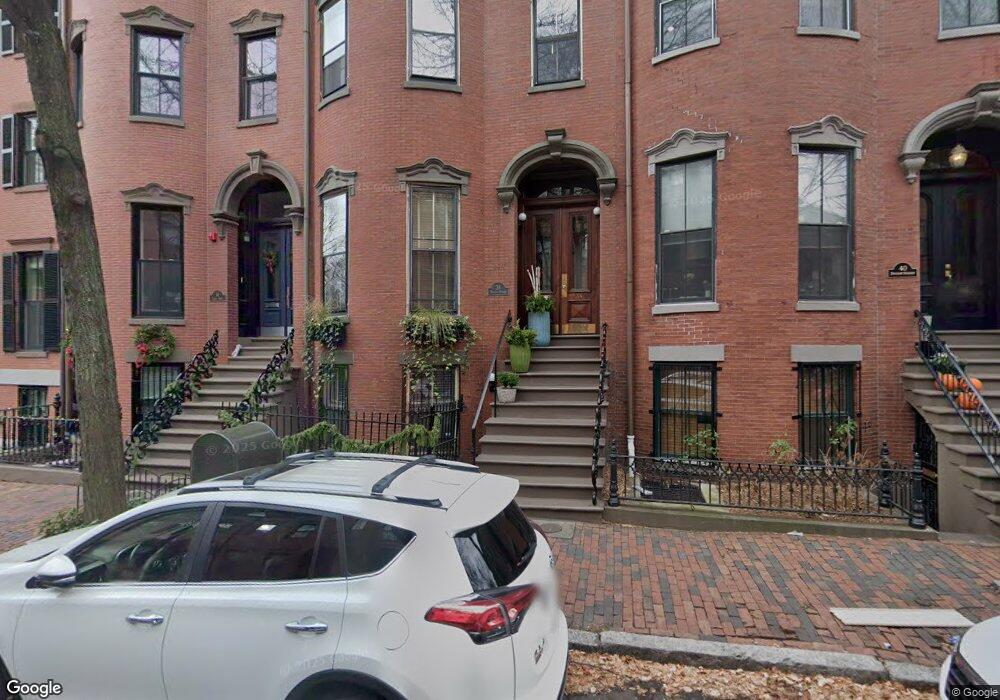
38 Dwight St Unit 5 Boston, MA 02118
South End NeighborhoodEstimated Value: $751,000 - $847,000
1
Bed
1
Bath
662
Sq Ft
$1,225/Sq Ft
Est. Value
About This Home
This home is located at 38 Dwight St Unit 5, Boston, MA 02118 and is currently estimated at $810,854, approximately $1,224 per square foot. 38 Dwight St Unit 5 is a home located in Suffolk County with nearby schools including Park Street School and Cathedral High School.
Ownership History
Date
Name
Owned For
Owner Type
Purchase Details
Closed on
Oct 31, 2019
Sold by
Fitzpatrick Colleen E
Bought by
Colleen E Fitzpatrick T
Current Estimated Value
Purchase Details
Closed on
Aug 15, 1996
Sold by
Pond Marilyn S
Bought by
Fitzpatrick Colleen E
Home Financials for this Owner
Home Financials are based on the most recent Mortgage that was taken out on this home.
Original Mortgage
$121,500
Interest Rate
8.08%
Mortgage Type
Purchase Money Mortgage
Create a Home Valuation Report for This Property
The Home Valuation Report is an in-depth analysis detailing your home's value as well as a comparison with similar homes in the area
Home Values in the Area
Average Home Value in this Area
Purchase History
| Date | Buyer | Sale Price | Title Company |
|---|---|---|---|
| Colleen E Fitzpatrick T | -- | -- | |
| Fitzpatrick Colleen E | $135,000 | -- |
Source: Public Records
Mortgage History
| Date | Status | Borrower | Loan Amount |
|---|---|---|---|
| Previous Owner | Fitzpatrick Colleen E | $121,500 |
Source: Public Records
Tax History
| Year | Tax Paid | Tax Assessment Tax Assessment Total Assessment is a certain percentage of the fair market value that is determined by local assessors to be the total taxable value of land and additions on the property. | Land | Improvement |
|---|---|---|---|---|
| 2025 | $7,520 | $649,400 | $0 | $649,400 |
| 2024 | $6,870 | $630,300 | $0 | $630,300 |
| 2023 | $6,504 | $605,600 | $0 | $605,600 |
| 2022 | $6,525 | $599,700 | $0 | $599,700 |
| 2021 | $6,273 | $587,900 | $0 | $587,900 |
| 2020 | $5,619 | $532,100 | $0 | $532,100 |
| 2019 | $5,444 | $516,500 | $0 | $516,500 |
| 2018 | $5,105 | $487,100 | $0 | $487,100 |
| 2017 | $4,913 | $463,900 | $0 | $463,900 |
| 2016 | $4,906 | $446,000 | $0 | $446,000 |
| 2015 | $4,955 | $409,200 | $0 | $409,200 |
| 2014 | $4,671 | $371,300 | $0 | $371,300 |
Source: Public Records
Map
Nearby Homes
- 2A Milford St Unit 12
- 219 Shawmut Ave Unit 1B
- 28 Bradford St
- 69 E Berkeley St Unit 1
- 77 E Berkeley St Unit 4
- 36 Milford St Unit 1
- 32 Hanson St Unit 2
- 79 Waltham St Unit 2
- 23 Bradford St Unit 201
- 1313 Washington St Ps L-91
- 1313 Washington Parking U76-B
- 1166 Washington St Unit 311
- 1200 Washington St Unit 416
- 1200 Washington St Unit 216
- 92 Waltham St Unit 1A
- 11 1/2 Union Park Unit 1
- 1180-1200 Washington St Unit 215
- 1313 Washington St Unit 310
- 1313 Washington St Unit 206
- 1313 Washington St Unit PSL91
- 38 Dwight St Unit 6
- 38 Dwight St Unit 4
- 38 Dwight St Unit 3
- 38 Dwight St Unit 2
- 38 Dwight St Unit 1
- 36 Dwight St
- 36 Dwight St Unit PH
- 36 Dwight St Unit 1
- 40 Dwight St Unit 3
- 40 Dwight St Unit 2
- 40 Dwight St Unit 1
- 34 Dwight St
- 42 Dwight St
- 42 Dwight St Unit 1
- 32 Dwight St Unit 2
- 32 Dwight St Unit 1
- 32 Dwight St
- 44 Dwight St
- 25 Milford St Unit 3
- 25 Milford St Unit 2
Your Personal Tour Guide
Ask me questions while you tour the home.