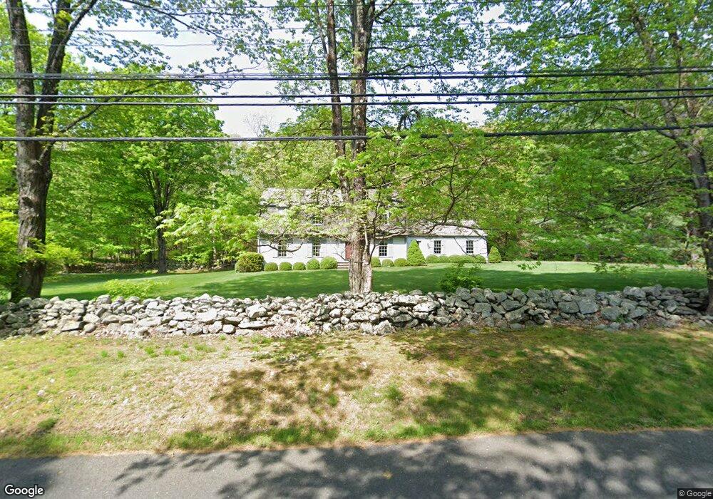
3805 Redding Rd Fairfield, CT 06824
Greenfield Hill NeighborhoodEstimated Value: $559,000 - $1,438,000
4
Beds
3
Baths
2,640
Sq Ft
$426/Sq Ft
Est. Value
About This Home
This home is located at 3805 Redding Rd, Fairfield, CT 06824 and is currently estimated at $1,124,830, approximately $426 per square foot. 3805 Redding Rd is a home located in Fairfield County with nearby schools including Burr Elementary School, Tomlinson Middle School, and Fairfield Warde High School.
Ownership History
Date
Name
Owned For
Owner Type
Purchase Details
Closed on
Jul 26, 2023
Sold by
Philip S Chapell Ret and Chapell
Bought by
Mellor Clifford W and Mellor Marianne
Current Estimated Value
Create a Home Valuation Report for This Property
The Home Valuation Report is an in-depth analysis detailing your home's value as well as a comparison with similar homes in the area
Home Values in the Area
Average Home Value in this Area
Purchase History
We collect this data history from publicly available records. To have your information removed, we recommend requesting removal directly through your county’s website.
| Date | Buyer | Sale Price | Title Company |
|---|---|---|---|
| Mellor Clifford W | -- | None Available | |
| Mellor Clifford W | -- | None Available |
Source: Public Records
Tax History
| Year | Tax Paid | Tax Assessment Tax Assessment Total Assessment is a certain percentage of the fair market value that is determined by local assessors to be the total taxable value of land and additions on the property. | Land | Improvement |
|---|---|---|---|---|
| 2025 | $14,142 | $498,120 | $300,160 | $197,960 |
| 2024 | $13,898 | $498,120 | $300,160 | $197,960 |
| 2023 | $13,703 | $498,120 | $300,160 | $197,960 |
| 2022 | $13,569 | $498,120 | $300,160 | $197,960 |
| 2021 | $13,439 | $498,120 | $300,160 | $197,960 |
| 2020 | $13,680 | $510,650 | $289,310 | $221,340 |
| 2019 | $13,680 | $510,650 | $289,310 | $221,340 |
| 2018 | $13,461 | $510,650 | $289,310 | $221,340 |
| 2017 | $4,902 | $510,650 | $289,310 | $221,340 |
| 2016 | $12,996 | $510,650 | $289,310 | $221,340 |
| 2015 | $13,417 | $541,240 | $321,860 | $219,380 |
| 2014 | $13,206 | $541,240 | $321,860 | $219,380 |
Source: Public Records
Map
Nearby Homes
- 3808 Redding Rd
- 3725 Redding Rd
- 4041 Redding Rd
- 3509 Redding Rd
- 223 Mistywood Ln
- 190 Mile Common Rd
- 11 Judges Hollow Rd
- 85-95 Old Easton Turnpike
- 180 Catamount Rd
- B Bridge Rd
- 3007 Redding Rd
- 2010 North St
- 1375 Westport Turnpike
- 1960 North St
- 60 Old Easton Turnpike
- 4800 Congress St
- 677 Eleven O Clock Rd
- 33 Cardinal Rd
- 305 Westport Turnpike
- 66 Gate Stone Ln
- 3845 Redding Rd
- 3901 Redding Rd
- 3880 Redding Rd
- 3781 Redding Rd
- 3920 Redding Rd
- 105 Foggwood Rd
- 3960 Redding Rd
- 161 Foggwood Rd
- 161 Fogg Wood Rd
- 3975 Redding Rd
- 58 Foggwood Rd
- 100 Foggwood Rd
- 3120 North St
- 3040 North St
- 185 Foggwood Rd
- 3659 Redding Rd
- 120 Stella Ln
- 3628 Redding Rd
- 2832 North St
- 2860 North St
Your Personal Tour Guide
Ask me questions while you tour the home.