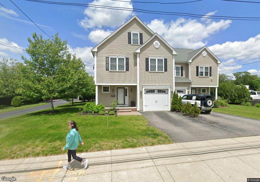
381 High St Unit 1 Dedham, MA 02026
East Dedham NeighborhoodEstimated Value: $865,416 - $1,214,000
4
Beds
3
Baths
2,300
Sq Ft
$423/Sq Ft
Est. Value
About This Home
This home is located at 381 High St Unit 1, Dedham, MA 02026 and is currently estimated at $973,854, approximately $423 per square foot. 381 High St Unit 1 is a home located in Norfolk County with nearby schools including Avery, Dedham Middle School, and Dedham High School.
Ownership History
Date
Name
Owned For
Owner Type
Purchase Details
Closed on
Sep 26, 2011
Sold by
Supreme Dev Inc
Bought by
Mahecha Carlos E and Ramirez Margarita M
Current Estimated Value
Home Financials for this Owner
Home Financials are based on the most recent Mortgage that was taken out on this home.
Original Mortgage
$265,000
Outstanding Balance
$182,733
Interest Rate
4.33%
Mortgage Type
Purchase Money Mortgage
Estimated Equity
$791,121
Create a Home Valuation Report for This Property
The Home Valuation Report is an in-depth analysis detailing your home's value as well as a comparison with similar homes in the area
Home Values in the Area
Average Home Value in this Area
Purchase History
| Date | Buyer | Sale Price | Title Company |
|---|---|---|---|
| Mahecha Carlos E | $425,000 | -- |
Source: Public Records
Mortgage History
| Date | Status | Borrower | Loan Amount |
|---|---|---|---|
| Open | Mahecha Carlos E | $265,000 |
Source: Public Records
Tax History
| Year | Tax Paid | Tax Assessment Tax Assessment Total Assessment is a certain percentage of the fair market value that is determined by local assessors to be the total taxable value of land and additions on the property. | Land | Improvement |
|---|---|---|---|---|
| 2025 | $9,372 | $742,600 | $0 | $742,600 |
| 2024 | $8,926 | $714,100 | $0 | $714,100 |
| 2023 | $8,527 | $664,100 | $0 | $664,100 |
| 2022 | $8,368 | $626,800 | $0 | $626,800 |
| 2021 | $8,376 | $612,700 | $0 | $612,700 |
| 2020 | $7,731 | $563,500 | $0 | $563,500 |
| 2019 | $7,395 | $522,600 | $0 | $522,600 |
| 2018 | $7,322 | $503,200 | $0 | $503,200 |
| 2017 | $7,300 | $494,600 | $0 | $494,600 |
| 2016 | $7,294 | $470,900 | $0 | $470,900 |
| 2015 | $7,308 | $460,500 | $0 | $460,500 |
| 2014 | $7,405 | $460,500 | $0 | $460,500 |
Source: Public Records
Map
Nearby Homes
- 28 Linden Place
- 56 Mount Vernon St
- 42 Churchill Place
- 54 Waldo St
- 285 Colburn St
- 147 Mount Vernon St
- 27 Edison Ave
- 108 High St
- 90 High St Unit 309
- 21 Chauncey St
- 195 Mount Vernon St
- 46 Park St
- 30 High St ( Cass St Entrance) Unit 209
- 73 Walnut St
- 187 Colburn St Unit 187
- 16 Nina Ct Unit 8
- 21 Church St
- 441 Washington St Unit 301
- 441 Washington St Unit 302
- 8 Sumner St
- 379 High St Unit 2
- 383 High St
- 385 High St
- 389 High St
- 378 High St
- 393 High St
- 106 Brookdale Ave
- 370 High St
- 366 High St
- 366 High St Unit 2
- 98 Brookdale Ave Unit 1
- 98 Brookdale Ave Unit 98
- 100 Brookdale Ave Unit 1
- 14 Linden Place
- 14 Linden Place Unit 2
- 403 High St
- 354 High St
- 19 Mount Vernon St
- 12 Mount Vernon St
- 15 Linden Place Unit 3
Your Personal Tour Guide
Ask me questions while you tour the home.