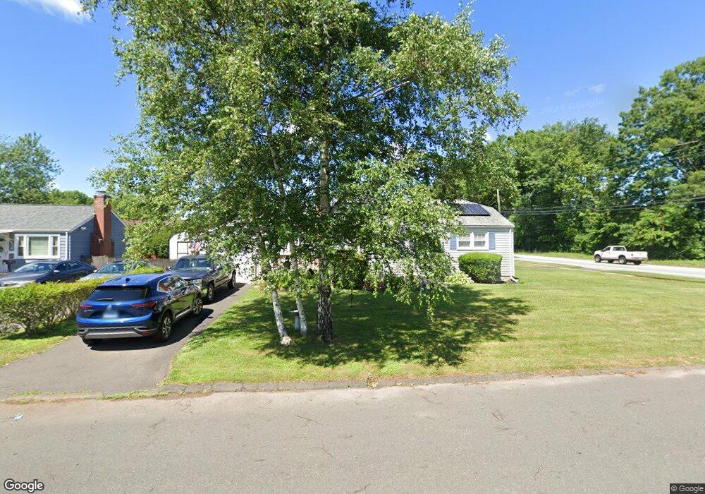
381 Jordan Ln Wethersfield, CT 06109
Estimated Value: $234,000 - $299,000
2
Beds
1
Bath
768
Sq Ft
$362/Sq Ft
Est. Value
About This Home
This home is located at 381 Jordan Ln, Wethersfield, CT 06109 and is currently estimated at $277,932, approximately $361 per square foot. 381 Jordan Ln is a home located in Hartford County with nearby schools including Emerson-Williams School, Silas Deane Middle School, and Wethersfield High School.
Ownership History
Date
Name
Owned For
Owner Type
Purchase Details
Closed on
Dec 1, 2009
Sold by
Martino Maureen T
Bought by
Dicioccio Linda and Dicioccio Thomas M
Current Estimated Value
Home Financials for this Owner
Home Financials are based on the most recent Mortgage that was taken out on this home.
Original Mortgage
$165,000
Outstanding Balance
$107,733
Interest Rate
4.92%
Estimated Equity
$170,199
Create a Home Valuation Report for This Property
The Home Valuation Report is an in-depth analysis detailing your home's value as well as a comparison with similar homes in the area
Home Values in the Area
Average Home Value in this Area
Purchase History
| Date | Buyer | Sale Price | Title Company |
|---|---|---|---|
| Dicioccio Linda | $174,000 | -- |
Source: Public Records
Mortgage History
| Date | Status | Borrower | Loan Amount |
|---|---|---|---|
| Open | Dicioccio Linda | $165,000 | |
| Previous Owner | Dicioccio Linda | $40,000 |
Source: Public Records
Tax History
| Year | Tax Paid | Tax Assessment Tax Assessment Total Assessment is a certain percentage of the fair market value that is determined by local assessors to be the total taxable value of land and additions on the property. | Land | Improvement |
|---|---|---|---|---|
| 2025 | $5,981 | $145,100 | $63,170 | $81,930 |
| 2024 | $3,318 | $76,780 | $29,800 | $46,980 |
| 2023 | $3,208 | $76,780 | $29,800 | $46,980 |
| 2022 | $3,154 | $76,780 | $29,800 | $46,980 |
| 2021 | $3,123 | $76,780 | $29,800 | $46,980 |
| 2020 | $3,124 | $76,780 | $29,800 | $46,980 |
| 2019 | $3,128 | $76,780 | $29,800 | $46,980 |
| 2018 | $3,156 | $77,400 | $27,100 | $50,300 |
| 2017 | $3,078 | $77,400 | $27,100 | $50,300 |
| 2016 | $2,983 | $77,400 | $27,100 | $50,300 |
| 2015 | $2,956 | $77,400 | $27,100 | $50,300 |
| 2014 | $2,844 | $77,400 | $27,100 | $50,300 |
Source: Public Records
Map
Nearby Homes
- 1 Brussels Ave
- 19 Albert Ave
- 1 Bristol St
- 219-221 Jordan Ln
- 64 Cromwell St
- 192 Wolcott Hill Rd
- 295 Ridge Rd Unit 8
- 55 Rutledge Rd
- 166 George St
- 28 Bolton St
- 107 Harmund Place
- 43 Yale St
- 51 Hanmer St
- 144 Brown St
- 23 Hillcrest Ave
- 18 Avalon Place
- 2020 Broad St Unit 6
- 183-185 Cheshire St
- 208 Mountain St
- 167 Campfield Ave
- 387 Jordan Ln
- 11 Brookside Cir
- 391 Jordan Ln
- 371 Jordan Ln
- 154 Brookside Cir
- 17 Brookside Cir
- 148 Brookside Cir
- 16 Brookside Cir
- 21 Brookside Cir
- 401 Jordan Ln
- 142 Brookside Cir
- 22 Brookside Cir
- 149 Brookside Cir
- 147 Brookside Cir
- 27 Brookside Cir
- 132 Brookside Cir
- 141 Brookside Cir
- 33 Brookside Cir
- 128 Brookside Cir
- 34 Brookside Cir
Your Personal Tour Guide
Ask me questions while you tour the home.