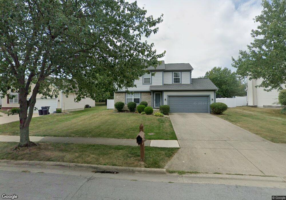
383 Dewfall Dr Sunbury, OH 43074
Estimated Value: $330,209 - $374,000
3
Beds
2
Baths
1,378
Sq Ft
$257/Sq Ft
Est. Value
About This Home
This home is located at 383 Dewfall Dr, Sunbury, OH 43074 and is currently estimated at $353,802, approximately $256 per square foot. 383 Dewfall Dr is a home located in Delaware County with nearby schools including General Rosecrans Elementary School, Big Walnut Intermediate School, and Big Walnut Middle School.
Ownership History
Date
Name
Owned For
Owner Type
Purchase Details
Closed on
Dec 2, 1997
Sold by
Slone Gregory B
Bought by
Helfant Suzanne K and Maxwell Lori
Current Estimated Value
Home Financials for this Owner
Home Financials are based on the most recent Mortgage that was taken out on this home.
Original Mortgage
$126,068
Outstanding Balance
$21,743
Interest Rate
7.45%
Mortgage Type
FHA
Estimated Equity
$332,059
Create a Home Valuation Report for This Property
The Home Valuation Report is an in-depth analysis detailing your home's value as well as a comparison with similar homes in the area
Home Values in the Area
Average Home Value in this Area
Purchase History
| Date | Buyer | Sale Price | Title Company |
|---|---|---|---|
| Helfant Suzanne K | $130,000 | -- |
Source: Public Records
Mortgage History
| Date | Status | Borrower | Loan Amount |
|---|---|---|---|
| Open | Helfant Suzanne K | $126,068 |
Source: Public Records
Tax History
| Year | Tax Paid | Tax Assessment Tax Assessment Total Assessment is a certain percentage of the fair market value that is determined by local assessors to be the total taxable value of land and additions on the property. | Land | Improvement |
|---|---|---|---|---|
| 2024 | $3,715 | $92,680 | $25,200 | $67,480 |
| 2023 | $3,624 | $92,680 | $25,200 | $67,480 |
| 2022 | $3,102 | $68,950 | $18,900 | $50,050 |
| 2021 | $3,117 | $68,950 | $18,900 | $50,050 |
| 2020 | $3,129 | $68,950 | $18,900 | $50,050 |
| 2019 | $2,744 | $58,170 | $15,750 | $42,420 |
| 2018 | $2,583 | $58,170 | $15,750 | $42,420 |
| 2017 | $2,460 | $52,990 | $14,000 | $38,990 |
| 2016 | $2,117 | $52,990 | $14,000 | $38,990 |
| 2015 | $2,130 | $52,990 | $14,000 | $38,990 |
| 2014 | $2,208 | $52,990 | $14,000 | $38,990 |
| 2013 | $2,384 | $52,990 | $14,000 | $38,990 |
Source: Public Records
Map
Nearby Homes
- 396 Millers Cove Ct
- 417 Clifden Ct
- 0 W Cherry St
- 0 Kintner Pkwy
- 761 Buckeye Cir Unit Lot 2392
- 8288 Greenhill Way
- 1169 Ivy Wood Dr
- 0 Ohio 37 Unit 225026227
- 125 Harrison St
- 670 Eagle Ct Unit Lot 2506
- 676 Eagle Ct Unit Lot 2505
- 653 Mill Stone Dr Unit Lot 2263
- 521 Weatherby Dr Unit Lot 2409
- 819 Ping Ln Unit Lot 2465
- 728 Callaway Ln Unit Lot 2415
- 400 Nike Way Unit Lot 2483
- 244 Arbor Dr
- 701 Village Mill Dr
- 643 Mill Stone Dr Unit Lot 2262
- 749 Peacock Dr
- 373 Dewfall Dr
- 393 Dewfall Dr
- 363 Dewfall Dr
- 325 Fayburrow Dr
- 219 Miller Dr
- 215 Miller Dr
- 221 Miller Dr
- 225 Miller Dr
- 353 Dewfall Dr
- 213 Miller Dr
- 378 Dewfall Dr
- 227 Miller Dr
- 209 Miller Dr
- 348 Fayburrow Dr
- 358 Fayburrow Dr
- 368 Dewfall Dr
- 315 Fayburrow Dr
- 231 Miller Dr
- 207 N Miller Dr
- 338 Fayburrow Dr
Your Personal Tour Guide
Ask me questions while you tour the home.