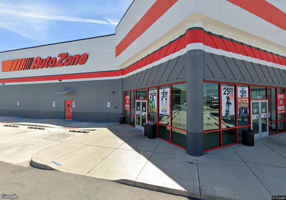
3833 W Broad St Columbus, OH 43228
Estimated Value: $4,178,600
About This Home
This home is located at 3833 W Broad St, Columbus, OH 43228 and is currently estimated at $4,178,600, approximately $102 per square foot. 3833 W Broad St is a home located in Franklin County with nearby schools including Eakin Elementary School, Wedgewood Middle School, and Briggs High School.
Ownership History
We collect this data history from publicly available records. To have your information removed, we recommend requesting removal directly through your county’s website.
Purchase Details
Purchase Details
Home Financials for this Owner
Home Financials are based on the most recent Mortgage that was taken out on this home.Purchase Details
Purchase Details
Purchase Details
Purchase Details
Purchase Details
Home Values in the Area
Average Home Value in this Area
Purchase History
We collect this data history from publicly available records. To have your information removed, we recommend requesting removal directly through your county’s website.
| Date | Buyer | Sale Price | Title Company |
|---|---|---|---|
| $2,100,000 | Independence Title Services | ||
| $1,500,000 | None Available | ||
| $900,000 | None Available | ||
| $2,035,000 | Principle | ||
| -- | -- | ||
| -- | -- | ||
| -- | -- |
Mortgage History
We collect this data history from publicly available records. To have your information removed, we recommend requesting removal directly through your county’s website.
| Date | Status | Borrower | Loan Amount |
|---|---|---|---|
| Previous Owner | $1,036,311 |
Tax History
We collect this data history from publicly available records. To have your information removed, we recommend requesting removal directly through your county’s website.
| Year | Tax Paid | Tax Assessment Tax Assessment Total Assessment is a certain percentage of the fair market value that is determined by local assessors to be the total taxable value of land and additions on the property. | Land | Improvement |
|---|---|---|---|---|
| 2025 | $66,623 | $897,620 | $201,290 | $696,330 |
| 2024 | $66,623 | $897,620 | $201,290 | $696,330 |
| 2023 | $65,569 | $897,620 | $201,290 | $696,330 |
| 2022 | $57,876 | $771,750 | $185,150 | $586,600 |
| 2021 | $58,124 | $771,750 | $185,150 | $586,600 |
| 2020 | $57,725 | $771,750 | $185,150 | $586,600 |
| 2019 | $60,535 | $735,000 | $176,330 | $558,670 |
| 2018 | $43,825 | $735,000 | $176,330 | $558,670 |
| 2017 | $60,703 | $712,430 | $176,330 | $536,100 |
| 2016 | $45,995 | $483,140 | $165,550 | $317,590 |
| 2015 | $25,452 | $315,000 | $165,550 | $149,450 |
| 2014 | $48,336 | $315,000 | $165,550 | $149,450 |
| 2013 | $23,810 | $595,000 | $165,550 | $429,450 |
Map
- 56 Florence Ave
- 277 Josephine Ave
- 139 Demorest Ave
- 66 Demorest Rd
- 174 Demorest Rd
- 121 S Southampton Ave
- 32 S Southampton Ave
- 129 S Sylvan Ave
- 136 S Sylvan Ave
- 268 S Southampton Ave
- 4006 Halsey Place
- 182 S Sylvan Ave
- 273 S Sylvan Ave
- 3847 Halsey Place
- 627 Savannah Dr
- 693 Maurine Dr
- 699 Holly Hill Dr
- 3345 Parkside Rd
- 679 Savannah Dr
- 241 S Brinker Ave
Ask me questions while you tour the home.