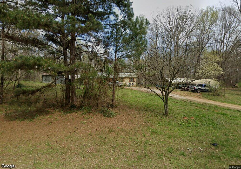
3838 Mooty Bridge Rd Lagrange, GA 30240
Estimated Value: $163,314 - $253,000
About This Home
This home is located at 3838 Mooty Bridge Rd, Lagrange, GA 30240 and is currently estimated at $194,579, approximately $152 per square foot. 3838 Mooty Bridge Rd is a home located in Troup County with nearby schools including Hillcrest Elementary School, Franklin Forest Elementary School, and Hollis Hand Elementary School.
Ownership History
We collect this data history from publicly available records. To have your information removed, we recommend requesting removal directly through your county’s website.
Purchase Details
Purchase Details
Purchase Details
Purchase Details
Purchase Details
Purchase Details
Purchase Details
Purchase Details
Purchase History
We collect this data history from publicly available records. To have your information removed, we recommend requesting removal directly through your county’s website.
| Date | Buyer | Sale Price | Title Company |
|---|---|---|---|
| $8,000 | -- | ||
| -- | -- | ||
| -- | -- | ||
| -- | -- | ||
| -- | -- | ||
| -- | -- | ||
| -- | -- | ||
| -- | -- |
Tax History
We collect this data history from publicly available records. To have your information removed, we recommend requesting removal directly through your county’s website.
| Year | Tax Paid | Tax Assessment Tax Assessment Total Assessment is a certain percentage of the fair market value that is determined by local assessors to be the total taxable value of land and additions on the property. | Land | Improvement |
|---|---|---|---|---|
| 2025 | $1,164 | $42,688 | $6,080 | $36,608 |
| 2024 | $930 | $34,096 | $6,080 | $28,016 |
| 2023 | $851 | $31,212 | $6,080 | $25,132 |
| 2022 | $830 | $29,732 | $6,080 | $23,652 |
| 2021 | $574 | $19,036 | $5,400 | $13,636 |
| 2020 | $508 | $16,836 | $5,400 | $11,436 |
| 2019 | $506 | $16,776 | $5,400 | $11,376 |
| 2018 | $339 | $21,192 | $5,400 | $15,792 |
| 2017 | $339 | $21,192 | $5,400 | $15,792 |
| 2016 | $327 | $20,778 | $5,412 | $15,366 |
| 2015 | $626 | $22,738 | $5,220 | $17,518 |
| 2014 | $598 | $21,816 | $5,220 | $16,596 |
| 2013 | -- | $24,544 | $5,220 | $19,324 |
Map
- 40 Riverbend Dr
- 0 River Club Dr Unit 10311961
- 129 Copper Creek Dr
- 120 Copper Creek Dr
- 206 Sturbridge Dr
- 101 Philmont Ct
- 116 Firefly Run
- 110 Firefly Run
- 96 Firefly Run
- 56 Firefly Run
- 159 Wolf Creek Cove
- 14 Firefly Run
- 147 Wolf Creek Cove
- 109 South Crossroad
- 5 Firefly Run
- 178 Wolf Creek Cove
- 143 Cameron Pointe Dr
- 115 Wolf Creek Cove
- 155 Indian Bend Dr
- 102 Cameron Pointe Dr
- 3838 Mooty Bridge Rd Unit 3816
- 3786 Mooty Bridge Rd
- 3816 Mooty Bridge Rd
- 0 Riverbend Dr Unit 8454167
- 0 Riverbend Dr Unit 20108408
- 0 Riverbend Dr Unit 20040965
- 0 Riverbend Dr Unit 33 8060611
- 0 Riverbend Dr Unit 8683988
- 0 Riverbend Dr Unit 8678763
- 98 Beaver Cove Dr
- 0 Hubbard Rd Unit 4 8343343
- 0 Hubbard Rd Unit 3 8343337
- 0 Hubbard Rd Unit 4 8621574
- 0 Hubbard Rd Unit 2 8621569
- 3920 Mooty Bridge Rd
- 49 Beaver Cove Dr
- 31 Hubbard Rd
- 3720 Mooty Bridge Rd
- 3700 Mooty Bridge Rd
- 127 Beaver Cove Dr
Ask me questions while you tour the home.