Estimated Value: $307,589 - $390,000
Studio
1
Bath
924
Sq Ft
$368/Sq Ft
Est. Value
About This Home
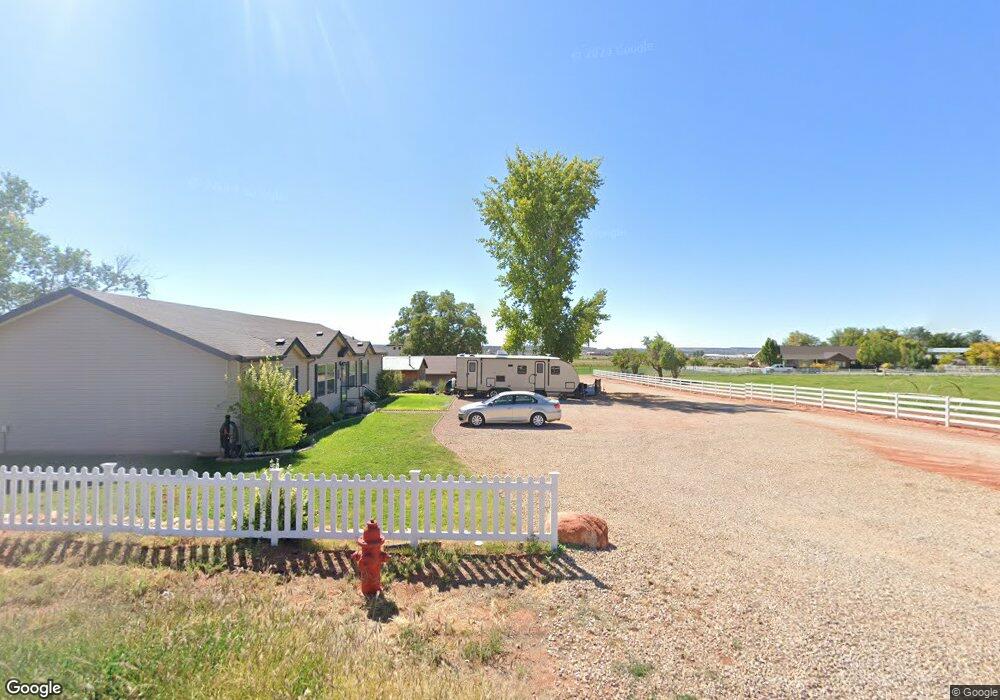
This home is located at 384 E 1100 S, Kanab, UT 84741 and is currently estimated at $340,147, approximately $368 per square foot. 384 E 1100 S is a home located in Kane County with nearby schools including Kanab Elementary School, Kanab Middle School, and Kanab High School.
Ownership History
Date
Name
Owned For
Owner Type
Purchase Details
Closed on
Mar 11, 2020
Sold by
Casey Glover
Bought by
Swapp James C and Swapp Rachel A
Current Estimated Value
Purchase Details
Closed on
Apr 2, 2014
Bought by
Swapp James C and Swapp Rachel A
Home Financials for this Owner
Home Financials are based on the most recent Mortgage that was taken out on this home.
Original Mortgage
$186,558
Interest Rate
4.23%
Mortgage Type
New Conventional
Purchase Details
Closed on
Aug 30, 2013
Sold by
Swapp James and Swapp Rachel
Bought by
Garrett William C and Affordable Homes Inc
Create a Home Valuation Report for This Property
The Home Valuation Report is an in-depth analysis detailing your home's value as well as a comparison with similar homes in the area
Home Values in the Area
Average Home Value in this Area
Purchase History
| Date | Buyer | Sale Price | Title Company |
|---|---|---|---|
| Swapp James C | -- | -- | |
| Swapp James C | -- | -- | |
| Swapp James C | -- | -- | |
| Garrett William C | -- | -- |
Source: Public Records
Mortgage History
| Date | Status | Borrower | Loan Amount |
|---|---|---|---|
| Previous Owner | Swapp James C | $186,558 |
Source: Public Records
Tax History
| Year | Tax Paid | Tax Assessment Tax Assessment Total Assessment is a certain percentage of the fair market value that is determined by local assessors to be the total taxable value of land and additions on the property. | Land | Improvement |
|---|---|---|---|---|
| 2025 | $1,346 | $285,290 | $83,197 | $202,093 |
| 2024 | $1,362 | $158,230 | $45,871 | $112,359 |
| 2023 | $1,225 | $145,831 | $43,686 | $102,145 |
| 2022 | $1,073 | $126,464 | $33,605 | $92,859 |
| 2021 | $972 | $172,062 | $47,000 | $125,062 |
| 2020 | $957 | $164,339 | $37,500 | $126,839 |
| 2019 | $942 | $157,561 | $38,500 | $119,061 |
| 2018 | $950 | $157,561 | $38,500 | $119,061 |
| 2017 | $898 | $142,216 | $35,000 | $107,216 |
| 2016 | $798 | $122,748 | $35,000 | $87,748 |
| 2015 | $806 | $135,152 | $35,000 | $100,152 |
| 2014 | $806 | $67,835 | $39,488 | $28,347 |
| 2013 | -- | $37,309 | $0 | $0 |
Source: Public Records
Map
Nearby Homes
- 931 S Hillside Dr
- 818 S Highway 89a
- 275 E 650 S Unit 5
- 80 E Red Shadow Cir
- 611 S 175 E
- 528 S 410 E
- 632 S Hillside Dr
- 476 S 100 E
- 1215 S Kane Dr
- 1117 S Terrel Dr
- 852 E Rocky Rd
- 1449 S Sage Ct
- 0 Chinle Dr
- 1208 S Hamblin Dr
- 0 U S Highway 89
- 1558 E Creekside Dr
- 1558 S East Creekside Dr E
- 325 S Main St
- 380 E 200 S
- 1603 W Creekside Dr
- 384 E 1100 S
- 374 E 1100 S
- 420 E 1100 S
- 1100 S 1100 S S
- 1019 S 10 W
- 379 E 1100 S
- 310 E 1100 S
- 285 E 1100 S
- 349 E 1100 S
- 1175 S Highway 89a
- 1068 E Country Estates Ln
- 1032 E Country Estates Ln
- 1098 E Country Estates Ln
- 1052 E Country Estates Ln
- 1037 E Country Estates Ln
- 1038 E Country Estates Ln
- 650 E 1100 S
- 1946 S Highway 89a
- 1045 S Highway 89a
- 322 E 950 S
Your Personal Tour Guide
Ask me questions while you tour the home.