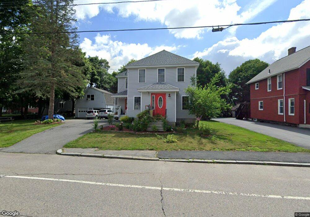
384 Massasoit Rd Worcester, MA 01604
Broadmeadow Brook NeighborhoodEstimated Value: $433,000 - $519,000
3
Beds
2
Baths
1,684
Sq Ft
$282/Sq Ft
Est. Value
About This Home
This home is located at 384 Massasoit Rd, Worcester, MA 01604 and is currently estimated at $475,128, approximately $282 per square foot. 384 Massasoit Rd is a home located in Worcester County with nearby schools including Jacob Hiatt Magnet School, Chandler Magnet, and Rice Square Elementary School.
Ownership History
Date
Name
Owned For
Owner Type
Purchase Details
Closed on
Jul 28, 2025
Sold by
Moody Lakana
Bought by
Moody Lakana and Horne Jassen J
Current Estimated Value
Purchase Details
Closed on
Nov 8, 2023
Sold by
Moody Lakana
Bought by
Moody Lakana
Create a Home Valuation Report for This Property
The Home Valuation Report is an in-depth analysis detailing your home's value as well as a comparison with similar homes in the area
Home Values in the Area
Average Home Value in this Area
Purchase History
| Date | Buyer | Sale Price | Title Company |
|---|---|---|---|
| Moody Lakana | -- | -- | |
| Moody Lakana | -- | -- | |
| Moody Lakana | -- | None Available | |
| Moody Lakana | -- | None Available |
Source: Public Records
Tax History
| Year | Tax Paid | Tax Assessment Tax Assessment Total Assessment is a certain percentage of the fair market value that is determined by local assessors to be the total taxable value of land and additions on the property. | Land | Improvement |
|---|---|---|---|---|
| 2025 | $6,158 | $466,900 | $119,100 | $347,800 |
| 2024 | $5,895 | $428,700 | $119,100 | $309,600 |
| 2023 | $5,699 | $397,400 | $103,500 | $293,900 |
| 2022 | $5,307 | $348,900 | $82,800 | $266,100 |
| 2021 | $5,275 | $324,000 | $66,300 | $257,700 |
| 2020 | $5,029 | $295,800 | $66,200 | $229,600 |
| 2019 | $4,865 | $270,300 | $59,800 | $210,500 |
| 2018 | $4,864 | $257,200 | $59,800 | $197,400 |
| 2017 | $4,663 | $242,600 | $59,800 | $182,800 |
| 2016 | $4,718 | $228,900 | $44,600 | $184,300 |
| 2015 | $4,594 | $228,900 | $44,600 | $184,300 |
| 2014 | $4,473 | $228,900 | $44,600 | $184,300 |
Source: Public Records
Map
Nearby Homes
- 3 Julien Ave
- 266 Massasoit Rd
- 16 Vincent Cir
- 330 Sunderland Rd Unit 80
- 330 Sunderland Rd Unit 69
- 259 Massasoit Rd
- 256 Massasoit Rd
- 25 Stoneham Rd
- 340 Sunderland Rd Unit 28
- 270 Sunderland Rd Unit 2
- 1260 Grafton St
- 1257 Grafton St
- 7 Clarissa St
- 1195 Grafton St Unit 19
- 1195 Grafton St Unit 39
- 1205 Grafton St Unit 31
- 12 Bruce St
- 37 Dane Ave
- 7 Atlas St
- 464-466 Granite St
- 382 Massasoit Rd
- 382 Massasoit Rd Unit 1
- 394 Massasoit Rd
- 1 Myrna Rd
- 9 Myrna St
- 378 Massasoit Rd
- 396 Massasoit Rd
- 3 Myrna Rd
- 9 Myrna Rd
- 389 Massasoit Rd
- 397 Massasoit Rd
- 376 Massasoit Rd
- 398 Massasoit Rd
- 398 Massasoit Rd
- 398 Massasoit Rd Unit 1
- 7 Miscoe Rd
- 11 Myrna Rd
- 5 Brierway Dr
- 5 Sandra Dr
- Lot 4 & 5 Myrna Rd
Your Personal Tour Guide
Ask me questions while you tour the home.