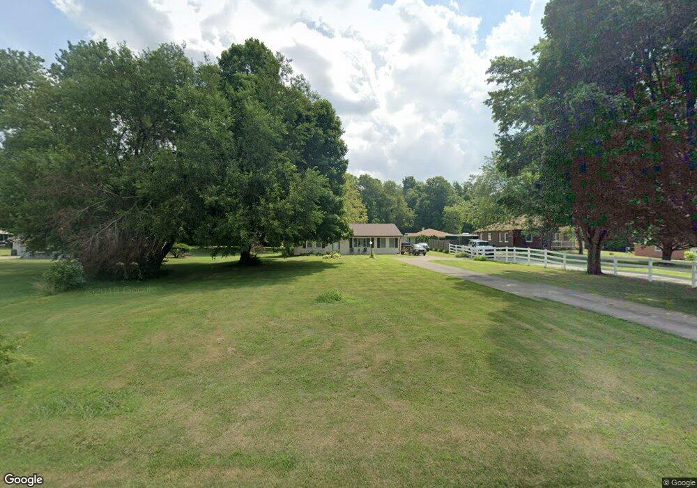
3850 Bosart Rd Springfield, OH 45503
Estimated Value: $207,938 - $227,000
2
Beds
1
Bath
1,275
Sq Ft
$173/Sq Ft
Est. Value
About This Home
This home is located at 3850 Bosart Rd, Springfield, OH 45503 and is currently estimated at $220,485, approximately $172 per square foot. 3850 Bosart Rd is a home located in Clark County with nearby schools including Northridge Elementary School, Kenton Ridge Middle & High School, and Emmanuel Christian Academy.
Ownership History
Date
Name
Owned For
Owner Type
Purchase Details
Closed on
Jan 24, 1996
Sold by
Turner Ronald E
Bought by
Nixon Brian S and Nixon Sheri
Current Estimated Value
Home Financials for this Owner
Home Financials are based on the most recent Mortgage that was taken out on this home.
Original Mortgage
$87,400
Outstanding Balance
$589
Interest Rate
7.19%
Mortgage Type
New Conventional
Estimated Equity
$219,896
Purchase Details
Closed on
Aug 1, 1994
Sold by
Fleischman David P
Bought by
Brown Bethany A and Turner Ronald
Home Financials for this Owner
Home Financials are based on the most recent Mortgage that was taken out on this home.
Original Mortgage
$65,500
Interest Rate
8.41%
Mortgage Type
New Conventional
Create a Home Valuation Report for This Property
The Home Valuation Report is an in-depth analysis detailing your home's value as well as a comparison with similar homes in the area
Home Values in the Area
Average Home Value in this Area
Purchase History
We collect this data history from publicly available records. To have your information removed, we recommend requesting removal directly through your county’s website.
| Date | Buyer | Sale Price | Title Company |
|---|---|---|---|
| Nixon Brian S | $92,000 | -- | |
| Brown Bethany A | $69,000 | -- |
Source: Public Records
Mortgage History
We collect this data history from publicly available records. To have your information removed, we recommend requesting removal directly through your county’s website.
| Date | Status | Borrower | Loan Amount |
|---|---|---|---|
| Open | Nixon Brian S | $87,400 | |
| Previous Owner | Brown Bethany A | $65,500 |
Source: Public Records
Tax History
| Year | Tax Paid | Tax Assessment Tax Assessment Total Assessment is a certain percentage of the fair market value that is determined by local assessors to be the total taxable value of land and additions on the property. | Land | Improvement |
|---|---|---|---|---|
| 2025 | $1,897 | $61,350 | $16,050 | $45,300 |
| 2024 | $1,834 | $43,380 | $13,340 | $30,040 |
| 2023 | $1,834 | $43,380 | $13,340 | $30,040 |
| 2022 | $1,833 | $43,380 | $13,340 | $30,040 |
| 2021 | $1,930 | $38,530 | $11,030 | $27,500 |
| 2020 | $1,932 | $38,530 | $11,030 | $27,500 |
| 2019 | $1,968 | $38,530 | $11,030 | $27,500 |
| 2018 | $1,605 | $30,150 | $10,140 | $20,010 |
| 2017 | $1,375 | $35,469 | $10,143 | $25,326 |
| 2016 | $1,365 | $35,469 | $10,143 | $25,326 |
| 2015 | $738 | $36,351 | $11,025 | $25,326 |
| 2014 | $738 | $36,351 | $11,025 | $25,326 |
| 2013 | $2,234 | $36,351 | $11,025 | $25,326 |
Source: Public Records
Map
Nearby Homes
- 4008 Bosart Rd
- 4028 Ryland Dr Unit 4028
- 2332 Villa Rd
- 4385 Helena Ct
- 4642 Laredo St
- 1507 Kingsgate Rd
- 1505 Kingsgate Rd
- 1503 Kingsgate Rd
- 1922 Wedgewood Cir
- 1500 Kingsgate Rd Unit 19430
- 1502 Kingsgate Rd Unit 19432
- 1500 Kingsgate Rd
- 1502 Kingsgate Rd
- 3631 Kingsgate Ln
- 4931 Bosart Rd
- 4811 Middle Urbana Rd
- 4898 Brannan Dr E
- 4732 Lehigh Dr
- 4512 Ridgewood Rd E
- 4917 Auston St
Your Personal Tour Guide
Ask me questions while you tour the home.