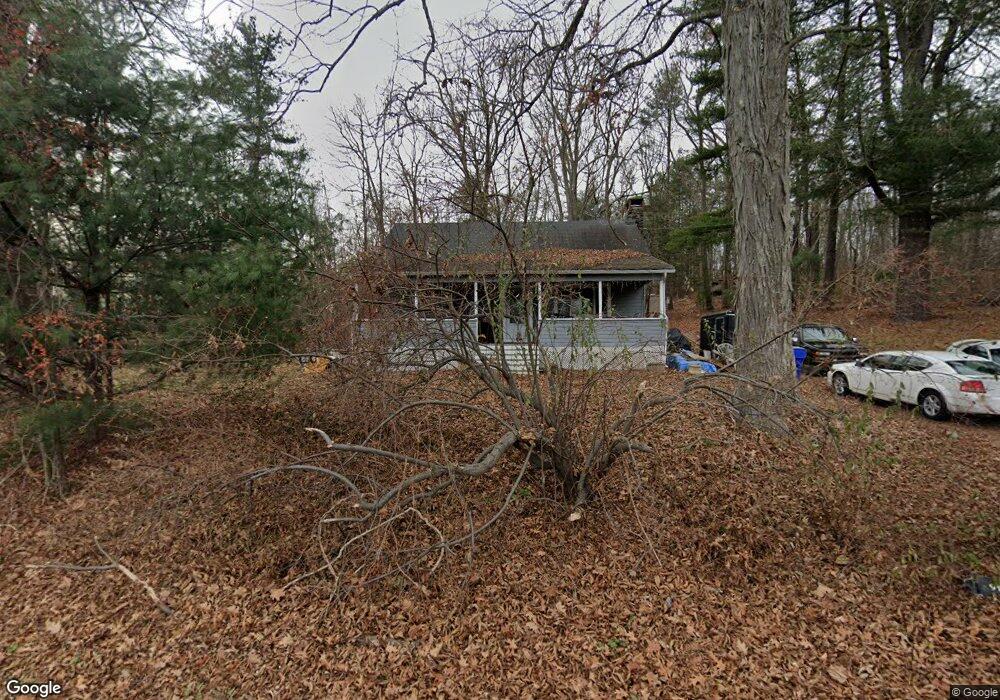
386 Daly Rd Coventry, CT 06238
Estimated Value: $294,726 - $337,000
1
Bed
1
Bath
1,541
Sq Ft
$203/Sq Ft
Est. Value
About This Home
This home is located at 386 Daly Rd, Coventry, CT 06238 and is currently estimated at $312,182, approximately $202 per square foot. 386 Daly Rd is a home located in Tolland County with nearby schools including George Hersey Robertson School, Coventry Grammar School, and Capt. Nathan Hale School.
Ownership History
Date
Name
Owned For
Owner Type
Purchase Details
Closed on
Oct 28, 2002
Sold by
Boucino Steven
Bought by
Noble John
Current Estimated Value
Home Financials for this Owner
Home Financials are based on the most recent Mortgage that was taken out on this home.
Original Mortgage
$152,000
Outstanding Balance
$64,509
Interest Rate
6.2%
Estimated Equity
$247,673
Purchase Details
Closed on
Mar 26, 2001
Sold by
Manchester Rod&Gun Clb
Bought by
Boucino Steven
Home Financials for this Owner
Home Financials are based on the most recent Mortgage that was taken out on this home.
Original Mortgage
$108,000
Interest Rate
6.93%
Create a Home Valuation Report for This Property
The Home Valuation Report is an in-depth analysis detailing your home's value as well as a comparison with similar homes in the area
Home Values in the Area
Average Home Value in this Area
Purchase History
| Date | Buyer | Sale Price | Title Company |
|---|---|---|---|
| Noble John | $155,000 | -- | |
| Boucino Steven | $118,000 | -- | |
| Noble John | $155,000 | -- | |
| Boucino Steven | $118,000 | -- |
Source: Public Records
Mortgage History
| Date | Status | Borrower | Loan Amount |
|---|---|---|---|
| Open | Boucino Steven | $12,725 | |
| Open | Boucino Steven | $152,000 | |
| Closed | Boucino Steven | $152,000 | |
| Previous Owner | Boucino Steven | $108,000 |
Source: Public Records
Tax History
| Year | Tax Paid | Tax Assessment Tax Assessment Total Assessment is a certain percentage of the fair market value that is determined by local assessors to be the total taxable value of land and additions on the property. | Land | Improvement |
|---|---|---|---|---|
| 2025 | $4,555 | $191,700 | $56,500 | $135,200 |
| 2024 | $3,904 | $117,200 | $49,200 | $68,000 |
| 2023 | $3,720 | $117,200 | $49,200 | $68,000 |
| 2022 | $3,651 | $117,200 | $49,200 | $68,000 |
| 2021 | $3,651 | $117,200 | $49,200 | $68,000 |
| 2020 | $3,653 | $117,200 | $49,200 | $68,000 |
| 2019 | $3,758 | $116,700 | $49,200 | $67,500 |
| 2018 | $3,887 | $120,700 | $49,200 | $71,500 |
| 2017 | $3,862 | $120,700 | $49,200 | $71,500 |
| 2016 | $3,766 | $120,700 | $49,200 | $71,500 |
| 2015 | $3,766 | $120,700 | $49,200 | $71,500 |
| 2014 | $4,063 | $142,700 | $60,900 | $81,800 |
Source: Public Records
Map
Nearby Homes
- 27 Fox Trail
- 0 Seneca Trail
- 0 Daly Rd Unit 24146464
- 2478 Main St
- 0 Hinkel Mae Dr
- 17 Ireland Dr
- 152 Cheney Ln
- 109 Sam Green Rd
- 23 Pine Knoll Dr
- 14 Juniper Dr Unit 13,14
- 0 Woodland Rd
- 316 Shore Dr
- 198 Forest Rd
- 864 Boston Turnpike
- 0 Skinner Hill Rd Unit 24077239
- 243 Long Hill Rd
- 280 Root Rd
- 111 Depot Rd
- 498 Root Rd
- 0 Wheeling Rd Unit 24116879
- 00 Bellevue Dr
- 0 Bellevue Dr Unit G662045
- 0 Bellevue Dr Unit G566294
- 399 Daly Rd
- 395 Daly Rd
- 50 Bellevue Dr
- 60 Bellevue Dr
- 2A Bellevue Dr
- 84 Bellevue Dr
- 485 Daly Rd
- 88 Bellevue Dr
- 104 Bellevue Dr
- 42 John Hand Dr
- 505 Daly Rd
- 36 John Hand Dr
- 4 John Hand Dr
- 533 Daly Rd
- 24 John Hand Dr
- 12 John Hand Dr
- 211 Daly Rd
Your Personal Tour Guide
Ask me questions while you tour the home.