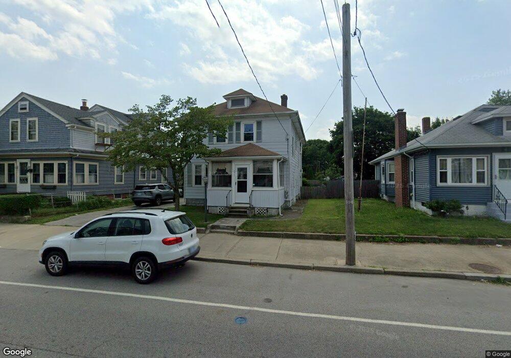
386 Power Rd Pawtucket, RI 02860
Fairlawn NeighborhoodEstimated Value: $441,257 - $538,000
3
Beds
2
Baths
1,736
Sq Ft
$291/Sq Ft
Est. Value
About This Home
This home is located at 386 Power Rd, Pawtucket, RI 02860 and is currently estimated at $505,314, approximately $291 per square foot. 386 Power Rd is a home located in Providence County with nearby schools including Blackstone Valley Prep Upper Elementary School, The San Miguel School, and Bishop Keough Regional High School.
Ownership History
Date
Name
Owned For
Owner Type
Purchase Details
Closed on
Aug 7, 2012
Sold by
Cmmn Narragansett Bay
Bought by
Desjean Brian W and Desjean Carol A
Current Estimated Value
Create a Home Valuation Report for This Property
The Home Valuation Report is an in-depth analysis detailing your home's value as well as a comparison with similar homes in the area
Home Values in the Area
Average Home Value in this Area
Purchase History
We collect this data history from publicly available records. To have your information removed, we recommend requesting removal directly through your county’s website.
| Date | Buyer | Sale Price | Title Company |
|---|---|---|---|
| Desjean Brian W | $1,446 | -- |
Source: Public Records
Mortgage History
We collect this data history from publicly available records. To have your information removed, we recommend requesting removal directly through your county’s website.
| Date | Status | Borrower | Loan Amount |
|---|---|---|---|
| Previous Owner | Desjean Brian W | $12,500 | |
| Previous Owner | Desjean Brian W | $200,000 |
Source: Public Records
Tax History
| Year | Tax Paid | Tax Assessment Tax Assessment Total Assessment is a certain percentage of the fair market value that is determined by local assessors to be the total taxable value of land and additions on the property. | Land | Improvement |
|---|---|---|---|---|
| 2025 | $4,763 | $362,200 | $129,600 | $232,600 |
| 2024 | $4,470 | $362,200 | $129,600 | $232,600 |
| 2023 | $4,130 | $243,800 | $78,200 | $165,600 |
| 2022 | $4,042 | $243,800 | $78,200 | $165,600 |
| 2021 | $4,042 | $243,800 | $78,200 | $165,600 |
| 2020 | $3,466 | $165,900 | $54,800 | $111,100 |
| 2019 | $3,466 | $165,900 | $54,800 | $111,100 |
| 2018 | $3,340 | $165,900 | $54,800 | $111,100 |
| 2017 | $3,324 | $146,300 | $60,000 | $86,300 |
| 2016 | $3,203 | $146,300 | $60,000 | $86,300 |
| 2015 | $3,203 | $146,300 | $60,000 | $86,300 |
| 2014 | $3,208 | $139,100 | $60,000 | $79,100 |
Source: Public Records
Map
Nearby Homes
- 50 Prentice Ave
- 123 Francis Ave
- 458 Smithfield Ave
- 460 Smithfield Ave
- 21 Urban Ave
- 471 Smithfield Ave
- 407 Smithfield Ave
- 220 Francis Ave
- 104 Fairview Ave
- 224 Francis Ave
- 0 Columbia Ave
- 45 Urban Ave Unit 3A
- 164 Morris Ave
- 49 Francis Ave
- 27 Hillcrest Ave
- 65 Hillcrest Ave
- 1111 Charles St
- 62 Hillcrest Ave
- 300 Smithfield Ave Unit P2-17
- 27 Gillen Ave Unit 207B
Your Personal Tour Guide
Ask me questions while you tour the home.