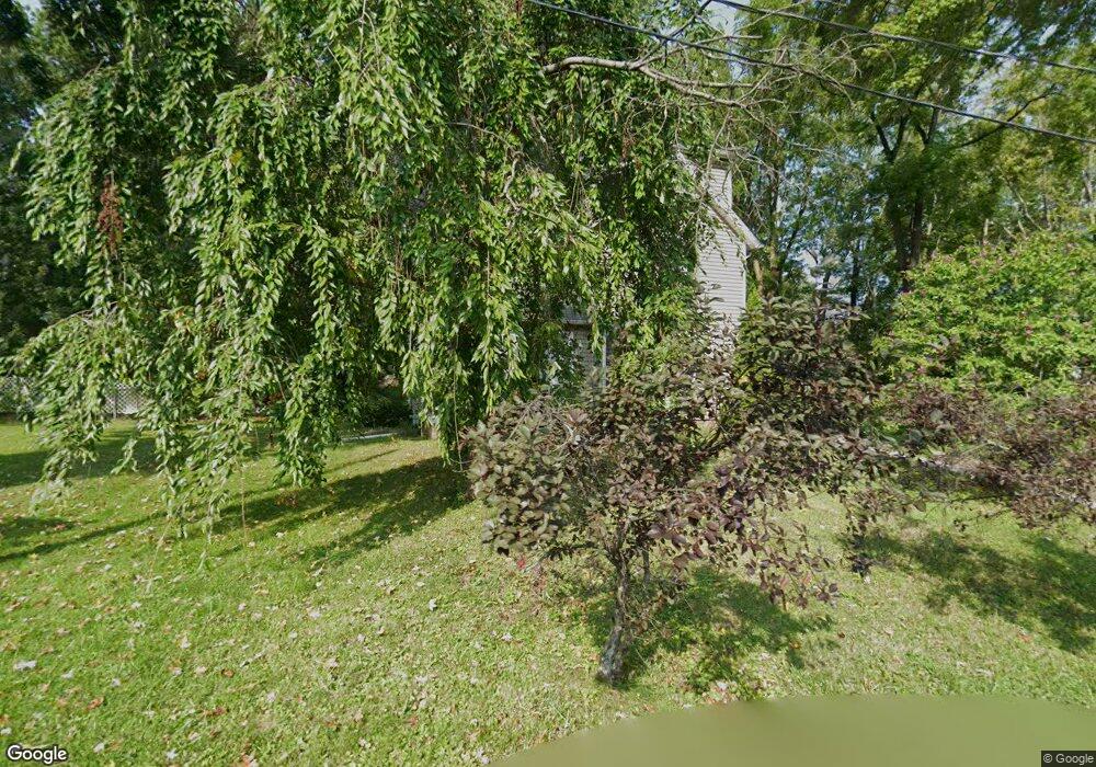
387 Harper St Conneaut, OH 44030
Estimated Value: $110,000 - $153,000
5
Beds
2
Baths
2,184
Sq Ft
$62/Sq Ft
Est. Value
About This Home
This home is located at 387 Harper St, Conneaut, OH 44030 and is currently estimated at $135,389, approximately $61 per square foot. 387 Harper St is a home located in Ashtabula County with nearby schools including Lakeshore Primary Elementary School, Gateway Elementary School, and Conneaut Middle School.
Ownership History
Date
Name
Owned For
Owner Type
Purchase Details
Closed on
Jun 1, 2017
Sold by
Todd Barry W and Todd Lori S
Bought by
Nieman Jonathan A and Nieman Karen M
Current Estimated Value
Home Financials for this Owner
Home Financials are based on the most recent Mortgage that was taken out on this home.
Original Mortgage
$82,900
Outstanding Balance
$68,861
Interest Rate
3.97%
Mortgage Type
VA
Estimated Equity
$66,528
Purchase Details
Closed on
Jul 8, 2002
Sold by
Fields David M
Bought by
Todd Barry W
Purchase Details
Closed on
Aug 27, 1996
Sold by
Johnson Leah
Bought by
Fields David M and Fields Jean B
Create a Home Valuation Report for This Property
The Home Valuation Report is an in-depth analysis detailing your home's value as well as a comparison with similar homes in the area
Home Values in the Area
Average Home Value in this Area
Purchase History
| Date | Buyer | Sale Price | Title Company |
|---|---|---|---|
| Nieman Jonathan A | $82,600 | Chicago Title | |
| Todd Barry W | $23,000 | -- | |
| Fields David M | $30,000 | -- |
Source: Public Records
Mortgage History
| Date | Status | Borrower | Loan Amount |
|---|---|---|---|
| Open | Nieman Jonathan A | $82,900 |
Source: Public Records
Tax History
| Year | Tax Paid | Tax Assessment Tax Assessment Total Assessment is a certain percentage of the fair market value that is determined by local assessors to be the total taxable value of land and additions on the property. | Land | Improvement |
|---|---|---|---|---|
| 2024 | $1,744 | $23,840 | $2,000 | $21,840 |
| 2023 | $1,131 | $23,840 | $2,000 | $21,840 |
| 2022 | $1,064 | $19,740 | $1,540 | $18,200 |
| 2021 | $1,082 | $19,740 | $1,540 | $18,200 |
| 2020 | $1,081 | $19,740 | $1,540 | $18,200 |
| 2019 | $658 | $11,730 | $950 | $10,780 |
| 2018 | $628 | $11,730 | $950 | $10,780 |
| 2017 | $745 | $11,730 | $950 | $10,780 |
| 2016 | $853 | $17,470 | $1,400 | $16,070 |
| 2015 | $862 | $17,470 | $1,400 | $16,070 |
| 2014 | $1,460 | $33,500 | $1,400 | $32,100 |
| 2013 | $921 | $21,710 | $1,090 | $20,620 |
Source: Public Records
Map
Nearby Homes
- 120 Marshall St
- 112 Marshall St
- 124 Marshall St
- 128 Marshall St
- 390 Beaver St
- 104 Marshall St
- 396 Beaver St
- 132 Marshall St
- 100 Marshall St
- 400 Beaver St
- 136 Marshall St
- 96 Marshall St
- 140 Marshall St
- 127 Marshall St
- 115 Marshall St
- 412 Beaver St
- 109 Marshall St
- 121 Marshall St
- 92 Marshall St
- 397 Beaver St
Your Personal Tour Guide
Ask me questions while you tour the home.