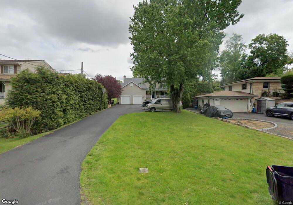
389 Cedar Ave Langhorne, PA 19047
Estimated Value: $621,000 - $663,907
4
Beds
3
Baths
2,398
Sq Ft
$267/Sq Ft
Est. Value
About This Home
This home is located at 389 Cedar Ave, Langhorne, PA 19047 and is currently estimated at $640,477, approximately $267 per square foot. 389 Cedar Ave is a home located in Bucks County with nearby schools including Tawanka Elementary School, Maple Point Middle School, and Neshaminy High School.
Ownership History
Date
Name
Owned For
Owner Type
Purchase Details
Closed on
Mar 22, 2005
Sold by
Custer Construction Inc
Bought by
Swantko David R and Swantko Barbara A
Current Estimated Value
Home Financials for this Owner
Home Financials are based on the most recent Mortgage that was taken out on this home.
Original Mortgage
$88,000
Interest Rate
5.84%
Mortgage Type
Fannie Mae Freddie Mac
Create a Home Valuation Report for This Property
The Home Valuation Report is an in-depth analysis detailing your home's value as well as a comparison with similar homes in the area
Home Values in the Area
Average Home Value in this Area
Purchase History
| Date | Buyer | Sale Price | Title Company |
|---|---|---|---|
| Swantko David R | $110,000 | None Available |
Source: Public Records
Mortgage History
| Date | Status | Borrower | Loan Amount |
|---|---|---|---|
| Previous Owner | Swantko David R | $88,000 |
Source: Public Records
Tax History
| Year | Tax Paid | Tax Assessment Tax Assessment Total Assessment is a certain percentage of the fair market value that is determined by local assessors to be the total taxable value of land and additions on the property. | Land | Improvement |
|---|---|---|---|---|
| 2025 | $8,841 | $40,610 | $4,120 | $36,490 |
| 2024 | $8,841 | $40,610 | $4,120 | $36,490 |
| 2023 | $8,701 | $40,610 | $4,120 | $36,490 |
| 2022 | $8,472 | $40,610 | $4,120 | $36,490 |
| 2021 | $8,472 | $40,610 | $4,120 | $36,490 |
| 2020 | $8,371 | $40,610 | $4,120 | $36,490 |
| 2019 | $8,184 | $40,610 | $4,120 | $36,490 |
| 2018 | $8,033 | $40,610 | $4,120 | $36,490 |
| 2017 | $7,828 | $40,610 | $4,120 | $36,490 |
| 2016 | $7,828 | $40,610 | $4,120 | $36,490 |
| 2015 | $8,018 | $40,610 | $4,120 | $36,490 |
| 2014 | $8,018 | $40,610 | $4,120 | $36,490 |
Source: Public Records
Map
Nearby Homes
- 320 N Elmwood Ave
- 1 Costa Ct
- 230 Playwicki St
- 166 N Hawthorne Ave
- 346 Deer Dr
- 743 Bridgeview Rd
- 8 Mill Creek Rd
- 737 Lynwood Dr
- 527 E Ravine Ave
- 8 Quartermaster Rd
- 706 Fox Ct
- 1409 Holly Dr Unit T 1409
- 20 Standing Tree Cir
- 1420 Super Hwy
- 2304 Brownsville Rd Unit L22
- 2304 Brownsville Rd Unit A-19
- 270 Rocksville Rd
- 415 Fox Hollow Dr
- 975 Woodvale Ave
- 19 Zelkova Dr
- 383 Cedar Ave
- 399 Cedar Ave
- 371 Cedar Ave
- 348 N Buckthorne Ave
- 413 Cedar Ave
- 370 N Buckthorne Ave
- 342 N Buckthorne Ave
- 328 N Buckthorne Ave
- 423 Cedar Ave
- 374 Cedar Ave
- 378 N Buckthorne Ave
- 320 N Buckthorne Ave
- 435 Cedar Ave
- 364 Cedar Ave
- 426 Cedar Ave
- 347 Cedar Ave
- 340 Cedar Ave
- 445 Forrest Ave
- 404 N Buckthorne Ave
- 447 Cedar Ave
Your Personal Tour Guide
Ask me questions while you tour the home.