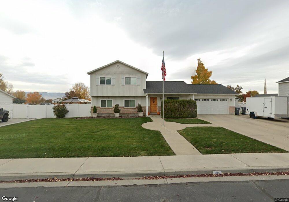
389 N 650 W Lindon, UT 84042
Estimated Value: $600,000 - $904,000
3
Beds
2
Baths
2,148
Sq Ft
$346/Sq Ft
Est. Value
About This Home
This home is located at 389 N 650 W, Lindon, UT 84042 and is currently estimated at $742,507, approximately $345 per square foot. 389 N 650 W is a home located in Utah County with nearby schools including Aspen Elementary School, Oak Canyon Junior High School, and Pleasant Grove High School.
Ownership History
Date
Name
Owned For
Owner Type
Purchase Details
Closed on
Dec 23, 1997
Sold by
Salisbury Development L C
Bought by
Hoffmann Tony D and Hoffmann Lenore C
Current Estimated Value
Home Financials for this Owner
Home Financials are based on the most recent Mortgage that was taken out on this home.
Original Mortgage
$122,780
Outstanding Balance
$20,754
Interest Rate
7.22%
Mortgage Type
FHA
Estimated Equity
$721,753
Create a Home Valuation Report for This Property
The Home Valuation Report is an in-depth analysis detailing your home's value as well as a comparison with similar homes in the area
Home Values in the Area
Average Home Value in this Area
Purchase History
| Date | Buyer | Sale Price | Title Company |
|---|---|---|---|
| Hoffmann Tony D | -- | Provo Land Title |
Source: Public Records
Mortgage History
| Date | Status | Borrower | Loan Amount |
|---|---|---|---|
| Open | Hoffmann Tony D | $122,780 |
Source: Public Records
Tax History
| Year | Tax Paid | Tax Assessment Tax Assessment Total Assessment is a certain percentage of the fair market value that is determined by local assessors to be the total taxable value of land and additions on the property. | Land | Improvement |
|---|---|---|---|---|
| 2025 | $2,515 | $324,500 | -- | -- |
| 2024 | $2,400 | $310,035 | $0 | $0 |
| 2023 | $2,400 | $317,735 | $0 | $0 |
| 2022 | $2,608 | $333,575 | $0 | $0 |
| 2021 | $2,413 | $465,300 | $144,600 | $320,700 |
| 2020 | $2,241 | $425,400 | $133,900 | $291,500 |
| 2019 | $2,042 | $404,500 | $133,900 | $270,600 |
| 2018 | $1,941 | $362,400 | $125,300 | $237,100 |
| 2017 | $1,749 | $175,175 | $0 | $0 |
| 2016 | $1,382 | $127,985 | $0 | $0 |
| 2015 | $1,357 | $118,855 | $0 | $0 |
| 2014 | $1,212 | $105,160 | $0 | $0 |
Source: Public Records
Map
Nearby Homes
- 648 W 250 N
- 497 W 490 N
- 469 W 490 N
- 465 W 490 N
- 461 W 490 N
- 341 W 600 N
- 433 N Locust Ave
- 1227 W Sweet Corn Ln
- 560 N Buffalo Grass Ln
- 572 N Buffalo Grass Ln
- 556 N Buffalo Grass Ln
- 568 N Buffalo Grass Ln
- 554 N Buffalo Grass Ln
- 578 N Buffalo Grass Ln
- 566 N Buffalo Grass Ln
- 590 N Buffalo Grass Ln
- 576 N Buffalo Grass Ln
- 564 N Buffalo Grass Ln
- 588 N Buffalo Grass Ln
- 574 N Buffalo Grass Ln
Your Personal Tour Guide
Ask me questions while you tour the home.