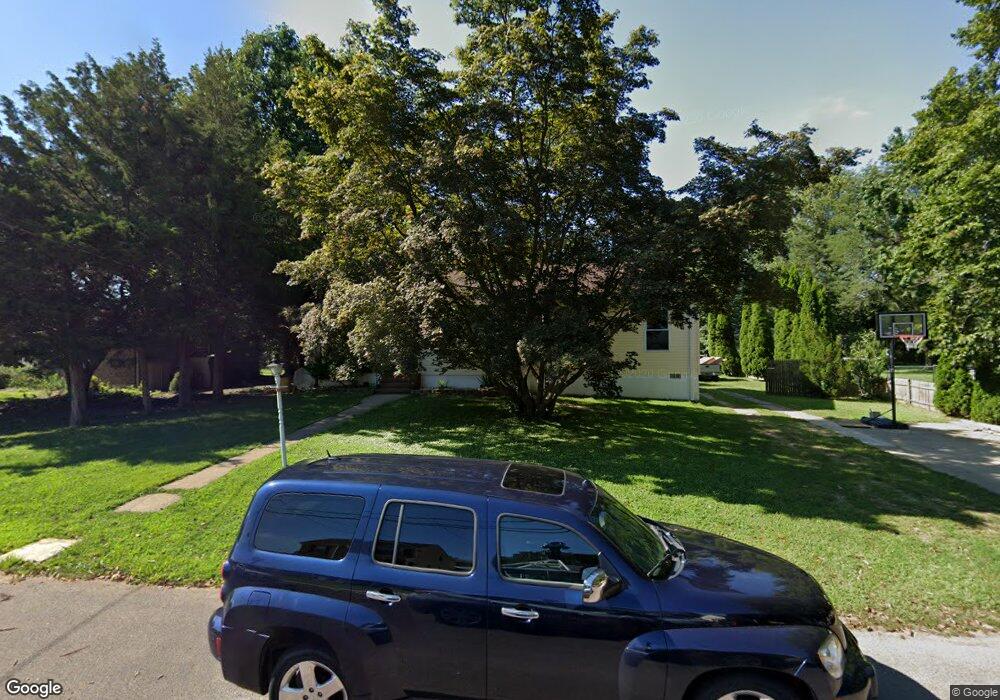
39 5th Ave Maple Shade, NJ 08052
Estimated Value: $295,911 - $347,000
Studio
--
Bath
920
Sq Ft
$347/Sq Ft
Est. Value
About This Home
This home is located at 39 5th Ave, Maple Shade, NJ 08052 and is currently estimated at $318,978, approximately $346 per square foot. 39 5th Ave is a home located in Burlington County with nearby schools including Ralph J Steinhauer Elementary School, Maude M. Wilkins Elementary School, and Howard R Yocum School.
Ownership History
Date
Name
Owned For
Owner Type
Purchase Details
Closed on
Mar 23, 2004
Sold by
Elder Anne S and Cutry Joseph F
Bought by
Andrada Patricia
Current Estimated Value
Home Financials for this Owner
Home Financials are based on the most recent Mortgage that was taken out on this home.
Original Mortgage
$5,320
Interest Rate
5.6%
Mortgage Type
Stand Alone Second
Purchase Details
Closed on
Sep 29, 2003
Sold by
Ferrigno Constance L
Bought by
Elder Anne S and Curry Joseph F
Home Financials for this Owner
Home Financials are based on the most recent Mortgage that was taken out on this home.
Original Mortgage
$64,000
Interest Rate
5.89%
Mortgage Type
Purchase Money Mortgage
Create a Home Valuation Report for This Property
The Home Valuation Report is an in-depth analysis detailing your home's value as well as a comparison with similar homes in the area
Home Values in the Area
Average Home Value in this Area
Purchase History
We collect this data history from publicly available records. To have your information removed, we recommend requesting removal directly through your county’s website.
| Date | Buyer | Sale Price | Title Company |
|---|---|---|---|
| Andrada Patricia | $140,000 | Surety Title Corporation | |
| Elder Anne S | $80,000 | Congress Title Corp |
Source: Public Records
Mortgage History
We collect this data history from publicly available records. To have your information removed, we recommend requesting removal directly through your county’s website.
| Date | Status | Borrower | Loan Amount |
|---|---|---|---|
| Closed | Andrada Patricia | $5,320 | |
| Open | Andrada Patricia | $133,000 | |
| Previous Owner | Elder Anne S | $64,000 |
Source: Public Records
Tax History
| Year | Tax Paid | Tax Assessment Tax Assessment Total Assessment is a certain percentage of the fair market value that is determined by local assessors to be the total taxable value of land and additions on the property. | Land | Improvement |
|---|---|---|---|---|
| 2025 | $8,097 | $213,300 | $57,400 | $155,900 |
| 2024 | $7,862 | $213,300 | $57,400 | $155,900 |
| 2023 | $7,862 | $213,300 | $57,400 | $155,900 |
| 2022 | $7,741 | $213,300 | $57,400 | $155,900 |
| 2021 | $8,049 | $170,800 | $57,400 | $113,400 |
| 2020 | $6,156 | $170,800 | $57,400 | $113,400 |
| 2019 | $5,930 | $170,800 | $57,400 | $113,400 |
| 2018 | $5,828 | $170,800 | $57,400 | $113,400 |
| 2017 | $5,759 | $170,800 | $57,400 | $113,400 |
| 2016 | $5,674 | $170,800 | $57,400 | $113,400 |
| 2015 | $5,551 | $170,800 | $57,400 | $113,400 |
| 2014 | $5,382 | $170,800 | $57,400 | $113,400 |
Source: Public Records
Map
Nearby Homes
- 48 5th Ave
- 514 N Forklanding Rd
- 431 N Forklanding Rd
- 525 N Coles Ave
- 305 Lincoln Ave
- 328 N Coles Ave
- 541 Windsor Ave
- 644 N Coles Ave
- 3120 Route 73 N
- 505 Greenwood Ave
- 14 Kent Ave
- 320 Odonnells Ln
- 109 N Coles Ave
- 8711 Osler Ave
- 411 C12 Stiles Ave Unit C-12
- 411 N Stiles Ave Unit B9
- 411 B1 Stiles Ave Unit B-1
- 25 N Coles Ave
- 418 Euclid Ave
- 411 Stiles Ave Unit B11
Your Personal Tour Guide
Ask me questions while you tour the home.