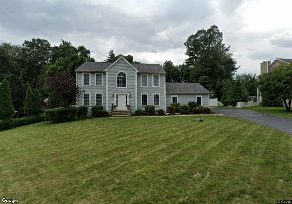
39 Damato Dr Oakdale, CT 06370
Estimated Value: $500,547 - $590,000
4
Beds
3
Baths
2,248
Sq Ft
$249/Sq Ft
Est. Value
About This Home
This home is located at 39 Damato Dr, Oakdale, CT 06370 and is currently estimated at $558,887, approximately $248 per square foot. 39 Damato Dr is a home located in New London County with nearby schools including Leonard J. Tyl Middle School and Montville High School.
Ownership History
Date
Name
Owned For
Owner Type
Purchase Details
Closed on
Jun 30, 2008
Sold by
Phillips Joseph D and Phillips Laura
Bought by
Bubucis Ryan M and Bubucis Danielle K
Current Estimated Value
Home Financials for this Owner
Home Financials are based on the most recent Mortgage that was taken out on this home.
Original Mortgage
$242,000
Interest Rate
6.07%
Purchase Details
Closed on
Sep 26, 2003
Sold by
Kol Homes Llc
Bought by
Phillips Joseph and Phillips Laura
Purchase Details
Closed on
Jan 3, 2003
Sold by
Hartens Pond Llc
Bought by
Whitebirch Const Llc
Create a Home Valuation Report for This Property
The Home Valuation Report is an in-depth analysis detailing your home's value as well as a comparison with similar homes in the area
Home Values in the Area
Average Home Value in this Area
Purchase History
| Date | Buyer | Sale Price | Title Company |
|---|---|---|---|
| Bubucis Ryan M | $380,000 | -- | |
| Bubucis Ryan M | $380,000 | -- | |
| Phillips Joseph | $301,900 | -- | |
| Phillips Joseph | $301,900 | -- | |
| Whitebirch Const Llc | $65,000 | -- | |
| Whitebirch Const Llc | $65,000 | -- |
Source: Public Records
Mortgage History
| Date | Status | Borrower | Loan Amount |
|---|---|---|---|
| Open | Whitebirch Const Llc | $248,000 | |
| Closed | Whitebirch Const Llc | $242,000 |
Source: Public Records
Tax History
| Year | Tax Paid | Tax Assessment Tax Assessment Total Assessment is a certain percentage of the fair market value that is determined by local assessors to be the total taxable value of land and additions on the property. | Land | Improvement |
|---|---|---|---|---|
| 2025 | $7,532 | $260,890 | $33,600 | $227,290 |
| 2024 | $7,245 | $260,890 | $33,600 | $227,290 |
| 2023 | $7,245 | $260,890 | $33,600 | $227,290 |
| 2022 | $6,968 | $260,890 | $33,600 | $227,290 |
| 2021 | $6,954 | $219,030 | $34,540 | $184,490 |
| 2020 | $7,092 | $219,030 | $34,540 | $184,490 |
| 2019 | $6,642 | $204,310 | $34,540 | $169,770 |
| 2018 | $6,483 | $204,310 | $34,540 | $169,770 |
| 2017 | $6,477 | $204,310 | $34,540 | $169,770 |
| 2016 | $6,331 | $206,820 | $43,130 | $163,690 |
| 2015 | $6,331 | $206,820 | $43,130 | $163,690 |
| 2014 | $6,074 | $206,820 | $43,130 | $163,690 |
Source: Public Records
Map
Nearby Homes
- 11 Mayo Ave
- 901 Old Colchester Rd
- 5 Rebecca Ct
- 8 Manor Rd
- 455 Chesterfield Rd
- 489 Chapel Hill Rd
- 79 Cottonwood Ln
- 406 Cherry Ln
- 394 Cherry Ln
- 82C Pires Dr
- 33 Laurel Point Dr
- 33A Laurel Point Dr
- 6 Syleo Ln
- 2 Fawns Meadow Rd
- 63 Velgouse Rd
- 2 Syleo Ln
- 320 Maple Ave
- 23 Green Valley Dr
- 393 Forsyth Rd
- 355 Route 163
Your Personal Tour Guide
Ask me questions while you tour the home.