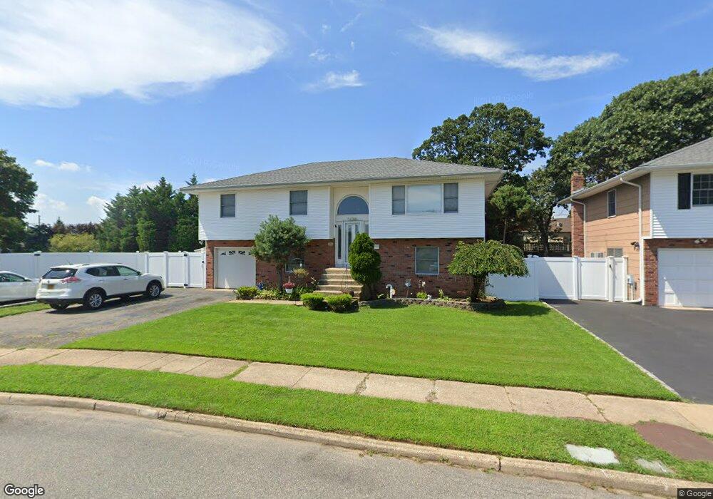
39 Dennis Ln Bethpage, NY 11714
Estimated Value: $771,000 - $796,207
Studio
2
Baths
1,291
Sq Ft
$607/Sq Ft
Est. Value
About This Home
This home is located at 39 Dennis Ln, Bethpage, NY 11714 and is currently estimated at $783,604, approximately $606 per square foot. 39 Dennis Ln is a home located in Nassau County with nearby schools including John H. West Elementary School, Plainedge Middle School, and Plainedge Senior High School.
Ownership History
Date
Name
Owned For
Owner Type
Purchase Details
Closed on
May 29, 2025
Sold by
Riccobono Marcello and Filippo Riccobono Irrevocable Trust
Bought by
Riccobono Marcello
Current Estimated Value
Purchase Details
Closed on
Nov 1, 2022
Sold by
Riccobono Filippo
Bought by
Riccobono Marcello and Filippo Riccobono Irrevocable Asset Mgmt
Purchase Details
Closed on
Sep 5, 2000
Sold by
Guarniere William and Guarniere Dana
Bought by
Riccobono Marcello and Riccobono Filippo
Create a Home Valuation Report for This Property
The Home Valuation Report is an in-depth analysis detailing your home's value as well as a comparison with similar homes in the area
Home Values in the Area
Average Home Value in this Area
Purchase History
We collect this data history from publicly available records. To have your information removed, we recommend requesting removal directly through your county’s website.
| Date | Buyer | Sale Price | Title Company |
|---|---|---|---|
| Riccobono Marcello | -- | New York Title Research Corp | |
| Riccobono Marcello | -- | New York Title Research Corp | |
| Riccobono Marcello | -- | New York Title Research Corp | |
| Riccobono Marcello | -- | New York Title Research Corp | |
| Riccobono Marcello | -- | New York Title Research Corp | |
| Riccobono Marcello | -- | New York Title Research Corp | |
| Riccobono Marcello | $315,000 | Michael Lamberti | |
| Riccobono Marcello | $315,000 | Michael Lamberti |
Source: Public Records
Tax History
| Year | Tax Paid | Tax Assessment Tax Assessment Total Assessment is a certain percentage of the fair market value that is determined by local assessors to be the total taxable value of land and additions on the property. | Land | Improvement |
|---|---|---|---|---|
| 2025 | $13,653 | $527 | $233 | $294 |
| 2024 | $4,848 | $525 | $232 | $293 |
| 2023 | $13,722 | $571 | $252 | $319 |
| 2022 | $13,722 | $571 | $252 | $319 |
| 2021 | $13,722 | $573 | $241 | $332 |
| 2020 | $14,397 | $804 | $546 | $258 |
| 2019 | $13,625 | $804 | $546 | $258 |
| 2018 | $12,393 | $804 | $0 | $0 |
| 2017 | $8,863 | $804 | $546 | $258 |
| 2016 | $12,994 | $804 | $418 | $386 |
| 2015 | $3,452 | $804 | $418 | $386 |
| 2014 | $3,452 | $804 | $418 | $386 |
| 2013 | $4,320 | $1,051 | $546 | $505 |
Source: Public Records
Map
Nearby Homes
Your Personal Tour Guide
Ask me questions while you tour the home.