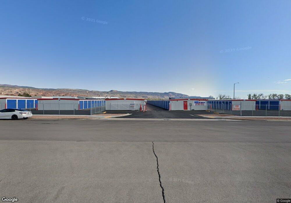
39 E 1300 S Unit 2 Richfield, UT 84701
Studio
--
Bath
6,600
Sq Ft
114,563
Sq Ft Lot
About This Home
This home is located at 39 E 1300 S Unit 2, Richfield, UT 84701. 39 E 1300 S Unit 2 is a home located in Sevier County with nearby schools including Ashman School, Pahvant School, and Red Hills Middle School.
Ownership History
Date
Name
Owned For
Owner Type
Purchase Details
Closed on
Apr 27, 2023
Sold by
Patriot Storage Utah Llc
Bought by
Richard L Miller Properties Ll
Purchase Details
Closed on
Jun 1, 2021
Sold by
Post Development Group Llc
Bought by
Patriot Storage Utah Llc
Purchase Details
Closed on
Sep 18, 2020
Sold by
Richfield Development Group Llc
Bought by
Post Development Group Llc
Purchase Details
Closed on
Jul 24, 2020
Sold by
Richfield Development Group Llc
Bought by
Post Development Group Llc
Purchase Details
Closed on
Mar 17, 2020
Sold by
Richfield Development Group Llc
Bought by
Post Development Group Llc
Create a Home Valuation Report for This Property
The Home Valuation Report is an in-depth analysis detailing your home's value as well as a comparison with similar homes in the area
Purchase History
| Date | Buyer | Sale Price | Title Company |
|---|---|---|---|
| Richard L Miller Properties Ll | -- | Hickman Land Title | |
| Patriot Storage Utah Llc | -- | Lawyers Title Of Az Commerc | |
| Post Development Group Llc | -- | Lawyers Title Of Arizona | |
| Post Development Group Llc | -- | Accommodation | |
| Post Development Group Llc | -- | Accommodation |
Source: Public Records
Tax History
| Year | Tax Paid | Tax Assessment Tax Assessment Total Assessment is a certain percentage of the fair market value that is determined by local assessors to be the total taxable value of land and additions on the property. | Land | Improvement |
|---|---|---|---|---|
| 2025 | $27,628 | $2,845,612 | $349,564 | $2,496,048 |
| 2024 | $27,628 | $3,394,858 | $302,218 | $3,092,640 |
| 2023 | $33,589 | $3,350,072 | $288,479 | $3,061,593 |
| 2022 | $4,155 | $379,416 | $230,783 | $148,633 |
| 2021 | $2,225 | $170,950 | $170,950 | $0 |
| 2020 | $2,288 | $170,950 | $170,950 | $0 |
| 2019 | $2,161 | $170,950 | $170,950 | $0 |
| 2018 | $2,412 | $170,950 | $170,950 | $0 |
| 2017 | $2,527 | $170,950 | $170,950 | $0 |
| 2016 | -- | $170,950 | $0 | $0 |
| 2015 | -- | $170,950 | $0 | $0 |
Source: Public Records
Map
Nearby Homes
- 690 1100 S
- 0 Parcel #4-241-82 Unit 26-271167
- 0 Parcel #4-241-82 Unit 115656
- 500 W 1300 S
- 250 W 700 S Unit A/B
- 330 W 700 S
- 765 W 1100 S
- 0 Parcel #1-2-57 Unit 25-261285
- 669 Ogden Dr
- 155 W 1500 S
- 59 E 400 S
- 75 E 400 S
- 823 S 800 W
- 790 W 800 S
- 902 W Southern Hills Vista
- 973 W 1080 S Unit 11
- 977 W 1080 S
- 977 W 1080 S Unit 12
- 629 S 720 W
- 973 & 977 W 1080 S Unit 11 & 12
Your Personal Tour Guide
Ask me questions while you tour the home.