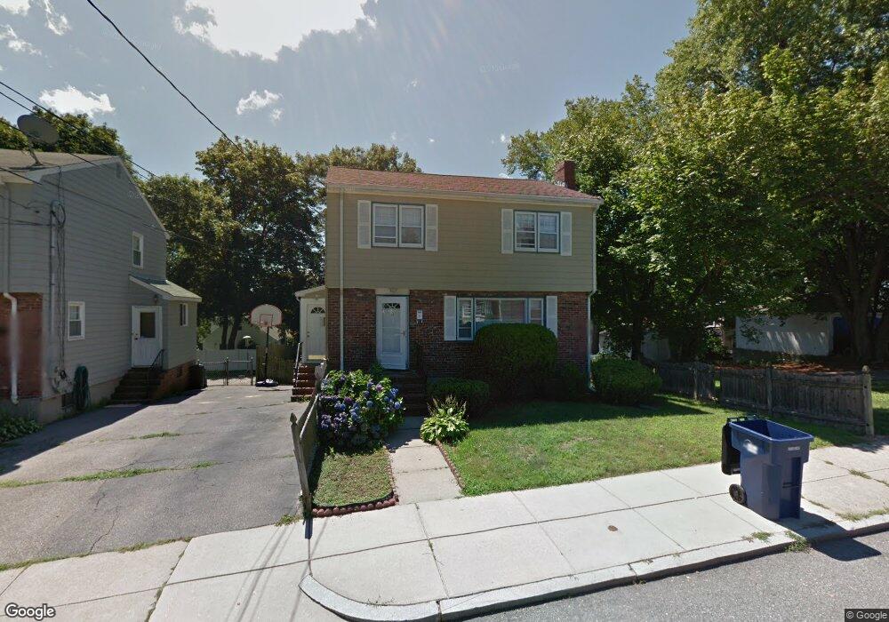
39 Ethel St Roslindale, MA 02131
Roslindale NeighborhoodEstimated Value: $746,000 - $835,000
About This Home
This home is located at 39 Ethel St, Roslindale, MA 02131 and is currently estimated at $799,729, approximately $525 per square foot. 39 Ethel St is a home located in Suffolk County with nearby schools including Beethoven Elementary School, Charles H. Taylor Elementary School, and Blackstone Elementary.
Ownership History
We collect this data history from publicly available records. To have your information removed, we recommend requesting removal directly through your county’s website.
Purchase Details
Home Values in the Area
Average Home Value in this Area
Purchase History
We collect this data history from publicly available records. To have your information removed, we recommend requesting removal directly through your county’s website.
| Date | Buyer | Sale Price | Title Company |
|---|---|---|---|
| $132,000 | -- |
Mortgage History
We collect this data history from publicly available records. To have your information removed, we recommend requesting removal directly through your county’s website.
| Date | Status | Borrower | Loan Amount |
|---|---|---|---|
| Open | $350,000 | ||
| Closed | $344,764 | ||
| Closed | $339,669 | ||
| Closed | $68,000 | ||
| Closed | $187,000 |
Tax History
We collect this data history from publicly available records. To have your information removed, we recommend requesting removal directly through your county’s website.
| Year | Tax Paid | Tax Assessment Tax Assessment Total Assessment is a certain percentage of the fair market value that is determined by local assessors to be the total taxable value of land and additions on the property. | Land | Improvement |
|---|---|---|---|---|
| 2025 | $7,690 | $664,100 | $248,600 | $415,500 |
| 2024 | $6,827 | $626,300 | $229,400 | $396,900 |
| 2023 | $6,285 | $585,200 | $214,400 | $370,800 |
| 2022 | $5,896 | $541,900 | $198,500 | $343,400 |
| 2021 | $5,435 | $509,400 | $190,900 | $318,500 |
| 2020 | $5,225 | $494,800 | $172,600 | $322,200 |
| 2019 | $4,966 | $471,200 | $135,500 | $335,700 |
| 2018 | $4,702 | $448,700 | $135,500 | $313,200 |
| 2017 | $4,484 | $423,400 | $135,500 | $287,900 |
| 2016 | $4,272 | $388,400 | $135,500 | $252,900 |
| 2015 | $4,156 | $343,200 | $123,200 | $220,000 |
| 2014 | $3,866 | $307,300 | $123,200 | $184,100 |
Map
- 57 Hemman St Unit 1
- 57 Hemman St Unit B
- 57 Hemman St Unit 2
- 60-62 Cornell St Unit 62
- 41 Glendower Rd
- 391 Poplar St
- 498 Beech St
- 620 Beech St Unit 622
- 9 June St Unit 2
- 9 June St Unit 1
- 9 June St
- 55 Metropolitan Ave
- 51 Metropolitan Ave
- 4471 Washington St Unit 8
- 4471 Washington St Unit 1
- 4370 Washington St Unit 2
- 567 Poplar St
- 42 Windham Rd
- 699 Hyde Park Ave Unit 6
- 21 Averton St Unit 23
- 23 Highfield Rd
- 25 Highfield Rd
- 19 Highfield Rd
- 45 Ethel St
- 90A Hemman St
- 90 Hemman St
- 92 Hemman St
- 40 Ethel St
- 88 Hemman St
- 88 Hemman St Unit 1
- 26 Highfield Rd
- 26 Highfield Rd Unit C
- 26 Highfield Rd Unit 3
- 26 Highfield Rd Unit 2
- 26 Highfield Rd Unit 1
- 24 Highfield Rd
- 24 Highfield Rd Unit 1
- 41 Ethel St
- 20 Granada Ave
- 30 Highfield Rd Unit 1
Ask me questions while you tour the home.