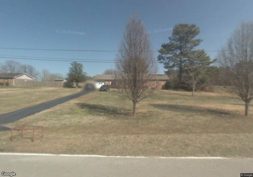
39 Henderson Rd Somerville, AL 35670
Estimated Value: $180,215 - $274,000
Studio
--
Bath
1,475
Sq Ft
$148/Sq Ft
Est. Value
About This Home
This home is located at 39 Henderson Rd, Somerville, AL 35670 and is currently estimated at $218,054, approximately $147 per square foot. 39 Henderson Rd is a home located in Morgan County with nearby schools including Priceville Elementary School, Priceville Junior High School, and Priceville High School.
Ownership History
Date
Name
Owned For
Owner Type
Purchase Details
Closed on
Apr 25, 2011
Sold by
Corder Kenneth Allan and Corder Kristy
Bought by
Mcclendon Michael G and Mcclendon Shanna Lynn
Current Estimated Value
Purchase Details
Closed on
Jan 14, 1985
Sold by
Mcclendon Teresa H
Bought by
Mcclendon Michael G
Home Financials for this Owner
Home Financials are based on the most recent Mortgage that was taken out on this home.
Original Mortgage
$121,000
Interest Rate
4.85%
Mortgage Type
New Conventional
Create a Home Valuation Report for This Property
The Home Valuation Report is an in-depth analysis detailing your home's value as well as a comparison with similar homes in the area
Purchase History
| Date | Buyer | Sale Price | Title Company |
|---|---|---|---|
| Mcclendon Michael G | -- | None Available | |
| Mcclendon Michael G | -- | None Available |
Source: Public Records
Mortgage History
| Date | Status | Borrower | Loan Amount |
|---|---|---|---|
| Previous Owner | Mcclendon Michael G | $121,000 |
Source: Public Records
Tax History
| Year | Tax Paid | Tax Assessment Tax Assessment Total Assessment is a certain percentage of the fair market value that is determined by local assessors to be the total taxable value of land and additions on the property. | Land | Improvement |
|---|---|---|---|---|
| 2024 | $454 | $13,220 | $1,110 | $12,110 |
| 2023 | $442 | $13,220 | $1,110 | $12,110 |
| 2022 | $442 | $13,250 | $1,110 | $12,140 |
| 2021 | $373 | $12,000 | $1,640 | $10,360 |
| 2020 | $373 | $21,160 | $1,640 | $19,520 |
| 2019 | $373 | $11,400 | $0 | $0 |
| 2015 | $379 | $11,580 | $0 | $0 |
| 2014 | $379 | $11,580 | $0 | $0 |
| 2013 | -- | $10,820 | $0 | $0 |
Source: Public Records
Map
Nearby Homes
- 70 E Old Somerville Rd
- 73 Hagood Dr
- 1532 Highway 67 S
- 1539 Alabama 67
- 80 Shirley Hill Rd
- 337 Perry Ave
- 197 Clear Creek Dr
- 195 Clear Creek Dr
- 191 Clear Creek Dr SW
- 189 Clear Creek Dr SW
- 148 Cove Creek Dr
- 1120 Friendship Rd
- 123 Emory Dr
- 1.20 Acres Route 67
- 2872 Alabama 67
- 148 Pine St
- 206 Red Bud Ln
- 211 Quailwood Ln
- .97 acres Alabama Highway 67
- 13 Pine St
- 19 Lemmond Cir
- 29 Lemmond Cir
- 304 Friendship Rd
- 12 Henderson Rd
- 14 Lemmond Cir
- 320 Friendship Rd
- 48 Lemmond Cir
- 51 Lemmond Cir
- 307 Friendship Rd
- 66 Henderson Rd
- 89 Henderson Rd
- 61 Lemmond Cir
- 344 Friendship Rd
- 70 Lemmond Cir
- 85 Lemmond Cir
- 104 Henderson Rd
- 113 Henderson Rd
- 116 Lemmond Cir
- 79 Lemmond Cir
- 142 Friendship Rd
Your Personal Tour Guide
Ask me questions while you tour the home.