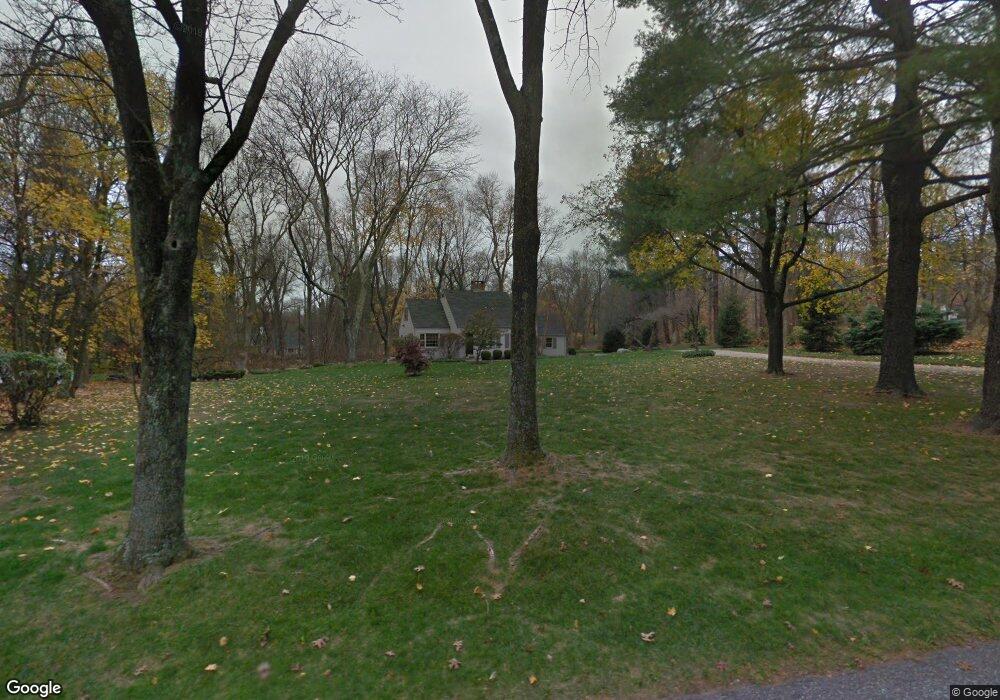
39 Juniper Rd New Canaan, CT 06840
Estimated Value: $1,167,000 - $1,422,146
3
Beds
2
Baths
1,482
Sq Ft
$882/Sq Ft
Est. Value
About This Home
This home is located at 39 Juniper Rd, New Canaan, CT 06840 and is currently estimated at $1,306,787, approximately $881 per square foot. 39 Juniper Rd is a home located in Fairfield County with nearby schools including East Elementary School, Saxe Middle School, and New Canaan High School.
Ownership History
Date
Name
Owned For
Owner Type
Purchase Details
Closed on
Mar 4, 2020
Sold by
Fearon Mary
Bought by
Fearon Jennifer
Current Estimated Value
Purchase Details
Closed on
Mar 18, 1980
Bought by
Fearon Mary G
Create a Home Valuation Report for This Property
The Home Valuation Report is an in-depth analysis detailing your home's value as well as a comparison with similar homes in the area
Home Values in the Area
Average Home Value in this Area
Purchase History
| Date | Buyer | Sale Price | Title Company |
|---|---|---|---|
| Fearon Jennifer | -- | None Available | |
| Fearon Mary G | -- | -- |
Source: Public Records
Mortgage History
| Date | Status | Borrower | Loan Amount |
|---|---|---|---|
| Previous Owner | Fearon Mary G | $250,000 | |
| Previous Owner | Fearon Mary G | $80,000 |
Source: Public Records
Tax History
| Year | Tax Paid | Tax Assessment Tax Assessment Total Assessment is a certain percentage of the fair market value that is determined by local assessors to be the total taxable value of land and additions on the property. | Land | Improvement |
|---|---|---|---|---|
| 2025 | $12,530 | $750,750 | $600,950 | $149,800 |
| 2024 | $12,117 | $750,750 | $600,950 | $149,800 |
| 2023 | $10,922 | $576,660 | $543,410 | $33,250 |
| 2022 | $10,593 | $576,660 | $543,410 | $33,250 |
| 2021 | $10,472 | $576,660 | $543,410 | $33,250 |
| 2020 | $10,472 | $576,660 | $543,410 | $33,250 |
| 2019 | $10,518 | $576,660 | $543,410 | $33,250 |
| 2018 | $10,888 | $641,970 | $534,590 | $107,380 |
| 2017 | $10,702 | $641,970 | $534,590 | $107,380 |
| 2016 | $10,471 | $641,970 | $534,590 | $107,380 |
| 2015 | $10,631 | $641,970 | $534,590 | $107,380 |
| 2014 | $9,976 | $641,970 | $534,590 | $107,380 |
Source: Public Records
Map
Nearby Homes
- 158L Carter St
- 89 Pastures Ln
- 152L Carter St
- 140L Carter St
- 136L Carter St
- 140 Stoneleigh Rd
- 67 Carter St
- 135 Comstock Hill Rd
- 35 Canoe Hill Rd
- 106A Comstock Hill Ave
- 372 Brushy Ridge Rd
- 122 Summer St
- 58 Lakeview Ave Unit 9
- 72 Summer St Unit B
- 6 Down River Rd Unit B
- 16 Trails End Rd
- 16 Raymond St
- 302 Gramercy Park Unit 302
- 119 Harrison Ave
- 27 Raymond St
Your Personal Tour Guide
Ask me questions while you tour the home.