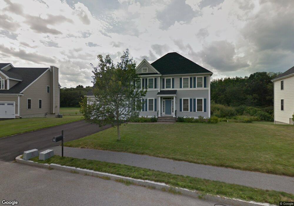
39 Liberty Rd Bedford, MA 01730
Estimated Value: $1,560,000 - $1,809,000
About This Home
This home is located at 39 Liberty Rd, Bedford, MA 01730 and is currently estimated at $1,701,541, approximately $516 per square foot. 39 Liberty Rd is a home located in Middlesex County with nearby schools including Lt. Elezer Davis Elementary School, Lt .Job Lane Elementary School, and John Glenn Middle School.
Ownership History
We collect this data history from publicly available records. To have your information removed, we recommend requesting removal directly through your county’s website.
Purchase Details
Home Financials for this Owner
Home Financials are based on the most recent Mortgage that was taken out on this home.Home Values in the Area
Average Home Value in this Area
Purchase History
We collect this data history from publicly available records. To have your information removed, we recommend requesting removal directly through your county’s website.
| Date | Buyer | Sale Price | Title Company |
|---|---|---|---|
| $820,892 | -- | ||
| $820,892 | -- |
Mortgage History
We collect this data history from publicly available records. To have your information removed, we recommend requesting removal directly through your county’s website.
| Date | Status | Borrower | Loan Amount |
|---|---|---|---|
| Open | $523,750 | ||
| Closed | $523,000 |
Tax History
We collect this data history from publicly available records. To have your information removed, we recommend requesting removal directly through your county’s website.
| Year | Tax Paid | Tax Assessment Tax Assessment Total Assessment is a certain percentage of the fair market value that is determined by local assessors to be the total taxable value of land and additions on the property. | Land | Improvement |
|---|---|---|---|---|
| 2025 | $162 | $1,344,300 | $567,900 | $776,400 |
| 2024 | $15,211 | $1,280,400 | $540,900 | $739,500 |
| 2023 | $14,195 | $1,137,400 | $510,900 | $626,500 |
| 2022 | $14,509 | $1,068,400 | $471,300 | $597,100 |
| 2021 | $10,116 | $1,043,400 | $446,300 | $597,100 |
| 2020 | $9,877 | $1,043,400 | $446,300 | $597,100 |
| 2019 | $6,498 | $1,043,400 | $446,300 | $597,100 |
| 2018 | $13,939 | $1,014,500 | $442,800 | $571,700 |
| 2017 | $13,634 | $920,600 | $348,900 | $571,700 |
| 2016 | $12,965 | $848,500 | $317,200 | $531,300 |
| 2015 | $13,241 | $905,700 | $317,200 | $588,500 |
| 2014 | $13,408 | $853,500 | $283,800 | $569,700 |
Map
- 9 Meeting House Cir
- 289 South Rd
- 36 Neillian St Unit 38
- 58 Neillian St Unit 60
- 60 Neillian St
- 60 Neillian St Unit 60
- 37 Neillian Way Unit 37
- 35 Neillian Way Unit 35A
- 64 Evergreen Ave Unit 8
- 64 Evergreen Ave
- 75 Westview St
- 8 Cheevers Path Unit 8
- 104 Hartwell Rd
- 97 Hartwell Rd
- 56 Roberts Dr
- 22 Railroad Ave
- 36 Loomis St Unit 103
- 36 Loomis St Unit 201
- 36 Loomis St Unit 301
- 253 Great Rd
- 37 Liberty Rd
- 41 Liberty Rd
- 2 Meeting House Cir
- 35 Liberty Rd
- 43 Liberty Rd
- 34 Liberty Rd
- 1 Meeting House Cir
- 33 Liberty Rd
- 4 Meeting House Cir
- Lot 128 Meeting House Cir
- Lot 130 Meeting House Cir
- 118 Liberty Rd
- 117 Liberty Rd
- 87 Liberty Rd
- 45 Liberty Rd
- 32 Liberty Rd
- 3 Meeting House Cir
- 46 Liberty Rd
- 31 Liberty Rd
- 6 Meeting House Cir
Ask me questions while you tour the home.