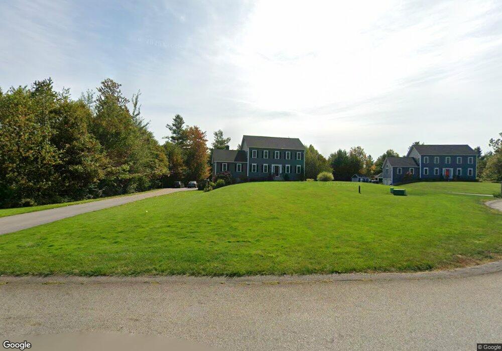
39 Michael Dr Rutland, MA 01543
Estimated Value: $700,119 - $790,000
4
Beds
3
Baths
2,456
Sq Ft
$298/Sq Ft
Est. Value
About This Home
This home is located at 39 Michael Dr, Rutland, MA 01543 and is currently estimated at $732,030, approximately $298 per square foot. 39 Michael Dr is a home with nearby schools including Wachusett Regional High School.
Ownership History
Date
Name
Owned For
Owner Type
Purchase Details
Closed on
Oct 7, 2016
Sold by
J M Soucy Contracting
Bought by
Rizkalla Steven and Rizkalla Melissa A
Current Estimated Value
Home Financials for this Owner
Home Financials are based on the most recent Mortgage that was taken out on this home.
Original Mortgage
$262,000
Outstanding Balance
$159,587
Interest Rate
3.43%
Mortgage Type
New Conventional
Estimated Equity
$572,443
Purchase Details
Closed on
Jun 9, 2016
Sold by
Moose Crossing Realty
Bought by
J M Soucy Contracting
Create a Home Valuation Report for This Property
The Home Valuation Report is an in-depth analysis detailing your home's value as well as a comparison with similar homes in the area
Home Values in the Area
Average Home Value in this Area
Purchase History
We collect this data history from publicly available records. To have your information removed, we recommend requesting removal directly through your county’s website.
| Date | Buyer | Sale Price | Title Company |
|---|---|---|---|
| Rizkalla Steven | $423,590 | -- | |
| J M Soucy Contracting | $95,000 | -- |
Source: Public Records
Mortgage History
We collect this data history from publicly available records. To have your information removed, we recommend requesting removal directly through your county’s website.
| Date | Status | Borrower | Loan Amount |
|---|---|---|---|
| Open | Rizkalla Steven | $262,000 |
Source: Public Records
Tax History
| Year | Tax Paid | Tax Assessment Tax Assessment Total Assessment is a certain percentage of the fair market value that is determined by local assessors to be the total taxable value of land and additions on the property. | Land | Improvement |
|---|---|---|---|---|
| 2025 | $9,012 | $632,900 | $132,200 | $500,700 |
| 2024 | $8,852 | $596,900 | $124,200 | $472,700 |
| 2023 | $8,129 | $592,500 | $117,100 | $475,400 |
| 2022 | $7,593 | $480,900 | $97,500 | $383,400 |
| 2021 | $7,639 | $457,400 | $105,700 | $351,700 |
| 2020 | $8,006 | $454,600 | $94,900 | $359,700 |
| 2019 | $7,881 | $440,500 | $82,100 | $358,400 |
| 2018 | $7,330 | $404,300 | $74,700 | $329,600 |
| 2017 | $3,853 | $210,300 | $68,000 | $142,300 |
| 2016 | $123 | $7,100 | $7,100 | $0 |
| 2015 | $125 | $7,100 | $7,100 | $0 |
| 2014 | $121 | $7,100 | $7,100 | $0 |
Source: Public Records
Map
Nearby Homes
- 30 Michael Dr
- 139 E County Rd Unit 139
- 139 E County Rd Unit 141
- 99 Glenwood Place
- 569 E County Rd
- 328 E County Rd
- 331 E County Rd
- 27 Vista Cir
- 4 Brintnal Dr
- 91 Central Tree Rd
- Lots 4R/5R Bryant Rd
- 41 Maple Ave
- 34 Marjorie Ln
- 15 Briarwood Rd
- 3 Edith Ln
- 10 Fidelity Dr Unit 5
- 12 Fidelity Dr Unit 6
- 20 Fidelity Dr Unit 10
- 15 Fidelity Dr Unit 70
- 340 Ball Hill Rd
Your Personal Tour Guide
Ask me questions while you tour the home.