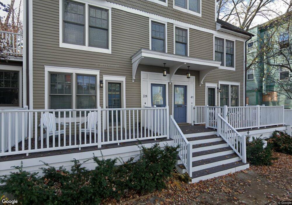
39 Myrtle Ave Cambridge, MA 02138
Mid-Cambridge NeighborhoodEstimated Value: $1,597,992 - $2,048,000
3
Beds
3
Baths
1,800
Sq Ft
$986/Sq Ft
Est. Value
About This Home
This home is located at 39 Myrtle Ave, Cambridge, MA 02138 and is currently estimated at $1,775,498, approximately $986 per square foot. 39 Myrtle Ave is a home located in Middlesex County with nearby schools including Saint Theresa School and St. Paul's Choir School.
Ownership History
Date
Name
Owned For
Owner Type
Purchase Details
Closed on
Aug 8, 2008
Sold by
Savenor Alan
Bought by
Siniossog Maria Amaryllis
Current Estimated Value
Home Financials for this Owner
Home Financials are based on the most recent Mortgage that was taken out on this home.
Original Mortgage
$80,000
Outstanding Balance
$52,917
Interest Rate
6.49%
Mortgage Type
Purchase Money Mortgage
Estimated Equity
$1,722,581
Create a Home Valuation Report for This Property
The Home Valuation Report is an in-depth analysis detailing your home's value as well as a comparison with similar homes in the area
Home Values in the Area
Average Home Value in this Area
Purchase History
| Date | Buyer | Sale Price | Title Company |
|---|---|---|---|
| Siniossog Maria Amaryllis | $802,500 | -- |
Source: Public Records
Mortgage History
| Date | Status | Borrower | Loan Amount |
|---|---|---|---|
| Open | Siniossog Maria Amaryllis | $80,000 |
Source: Public Records
Tax History
| Year | Tax Paid | Tax Assessment Tax Assessment Total Assessment is a certain percentage of the fair market value that is determined by local assessors to be the total taxable value of land and additions on the property. | Land | Improvement |
|---|---|---|---|---|
| 2025 | $9,282 | $1,461,800 | $0 | $1,461,800 |
| 2024 | $8,566 | $1,447,000 | $0 | $1,447,000 |
| 2023 | $7,849 | $1,339,500 | $0 | $1,339,500 |
| 2022 | $7,634 | $1,289,600 | $0 | $1,289,600 |
| 2021 | $7,221 | $1,234,400 | $0 | $1,234,400 |
| 2020 | $7,105 | $1,235,700 | $0 | $1,235,700 |
| 2019 | $6,818 | $1,147,800 | $0 | $1,147,800 |
| 2018 | $6,650 | $1,057,300 | $0 | $1,057,300 |
| 2017 | $6,498 | $1,001,300 | $0 | $1,001,300 |
| 2016 | $6,448 | $922,400 | $0 | $922,400 |
| 2015 | $6,410 | $819,700 | $0 | $819,700 |
| 2014 | $6,174 | $736,800 | $0 | $736,800 |
Source: Public Records
Map
Nearby Homes
- 122 Trowbridge St Unit 1
- 74 Park St
- 13 Roberts Rd
- 42 Calvin St
- 16 Kirkland Rd
- 47 Dane St
- 5 Waldo Ave Unit 2A
- 1643 Cambridge St Unit 42
- 88 Line St Unit 88
- 106 Ellery St
- 1531 Cambridge St
- 17 Buckingham St Unit 2
- 17 Buckingham St Unit 3
- 23 Park St Unit 2
- 1716 Cambridge St Unit 27
- 1498 Cambridge St Unit 2
- 57 Museum St
- 57 Museum St Unit 57
- 33 Beacon St
- 260 Beacon St Unit 201
- 52 Roberts Rd
- 41 Myrtle Ave
- 48a Roberts Rd
- 48 Roberts Rd Unit A
- 33 Myrtle Ave Unit 35
- 50 1/2 Roberts Rd
- 54 Roberts Rd
- 90 Kirkland St
- 90 Kirkland St Unit 1
- 46 1/2 Roberts Rd
- 31 Myrtle Ave Unit A
- 31 Myrtle Ave
- 38 Myrtle Ave Unit 40
- 40 Myrtle Ave Unit 40
- 86 Kirkland St Unit 3R
- 86 Kirkland St Unit 3L
- 86 Kirkland St Unit 2R
- 86 Kirkland St Unit 2L
- 86 Kirkland St Unit 2T
- 86 Kirkland St Unit 2A
Your Personal Tour Guide
Ask me questions while you tour the home.