39 Pilgrims Path Sudbury, MA 01776
Sudbury AreaEstimated Value: $1,065,000 - $1,300,000
About This Home
This home is located at 39 Pilgrims Path, Sudbury, MA 01776 and is currently estimated at $1,155,019, approximately $746 per square foot. 39 Pilgrims Path is a home located in Middlesex County with nearby schools including Peter Noyes Elementary School, Ephraim Curtis Middle School, and Lincoln-Sudbury Regional High School.
Ownership History
We collect this data history from publicly available records. To have your information removed, we recommend requesting removal directly through your county’s website.
Purchase Details
Home Values in the Area
Average Home Value in this Area
Purchase History
We collect this data history from publicly available records. To have your information removed, we recommend requesting removal directly through your county’s website.
| Date | Buyer | Sale Price | Title Company |
|---|---|---|---|
| $480,000 | -- |
Mortgage History
We collect this data history from publicly available records. To have your information removed, we recommend requesting removal directly through your county’s website.
| Date | Status | Borrower | Loan Amount |
|---|---|---|---|
| Closed | $321,650 | ||
| Closed | $130,000 | ||
| Closed | $70,000 | ||
| Closed | $40,000 | ||
| Closed | $358,000 | ||
| Closed | $362,500 |
Tax History
We collect this data history from publicly available records. To have your information removed, we recommend requesting removal directly through your county’s website.
| Year | Tax Paid | Tax Assessment Tax Assessment Total Assessment is a certain percentage of the fair market value that is determined by local assessors to be the total taxable value of land and additions on the property. | Land | Improvement |
|---|---|---|---|---|
| 2025 | $12,112 | $827,300 | $423,000 | $404,300 |
| 2024 | $11,700 | $800,800 | $411,500 | $389,300 |
| 2023 | $11,078 | $702,500 | $383,200 | $319,300 |
| 2022 | $10,673 | $591,300 | $354,000 | $237,300 |
| 2021 | $10,486 | $556,900 | $354,000 | $202,900 |
| 2020 | $10,275 | $556,900 | $354,000 | $202,900 |
| 2019 | $9,881 | $551,700 | $354,000 | $197,700 |
| 2018 | $9,835 | $548,500 | $371,000 | $177,500 |
| 2017 | $9,388 | $529,200 | $366,900 | $162,300 |
| 2016 | $9,101 | $511,300 | $354,000 | $157,300 |
| 2015 | $9,467 | $537,900 | $359,700 | $178,200 |
| 2014 | $9,450 | $524,100 | $350,000 | $174,100 |
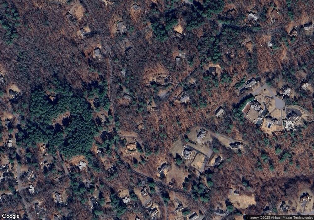
Map
- 35 Kato Dr
- 80 Pokonoket Ave
- 133 Concord Rd
- 266 Landham Rd
- 6 Old County Rd Unit 33
- 30 Meadow Dr
- 315 Goodmans Hill Rd
- 220 Old Lancaster Rd
- 295 Concord Rd
- 177 Plympton Rd
- 136 Plympton Rd
- 45 Widow Rights Ln
- 36 Cutler Farm Rd
- 22 Farmstead Ln Unit 407
- 22 Demarco Rd
- 96 Hudson Rd
- 113 Newbridge Rd
- 125 Hudson Rd
- 563 Concord Rd
- 40 Tall Pine Dr Unit 2
- 39 Pilgrims Path
- 146 Goodmans Hill Rd
- 29 Pilgrims Path
- 160 Goodmans Hill Rd
- 34 Pilgrims Path
- 140 Goodman's Hill Rd
- 140 Goodmans Hill Rd
- 149 Goodmans Hill Rd
- 166 Goodmans Hill Rd
- 23 Pilgrims Path
- 12 Kato Dr
- 24 Pilgrims Path
- 141 Goodmans Hill Rd
- 155 Goodmans Hill Rd
- 118 Goodmans Hill Rd
- 32 Kato Dr
- 161 Goodmans Hill Rd
- 17 Nashoba Rd
- 16 Kato Dr
- 139 Goodmans Hill Rd
Ask me questions while you tour the home.