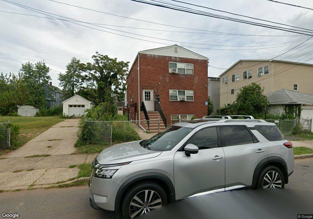
39 Powers St New Brunswick, NJ 08901
Estimated Value: $400,000 - $736,000
Studio
--
Bath
3,600
Sq Ft
$162/Sq Ft
Est. Value
About This Home
This home is located at 39 Powers St, New Brunswick, NJ 08901 and is currently estimated at $584,667, approximately $162 per square foot. 39 Powers St is a home located in Middlesex County with nearby schools including New Brunswick High School, Central Jersey College Prep Charter School, and St. Mary of Mount Virgin School.
Ownership History
Date
Name
Owned For
Owner Type
Purchase Details
Closed on
Oct 19, 2017
Sold by
Fannie Mae
Bought by
Utila Llc
Current Estimated Value
Purchase Details
Closed on
Mar 22, 2017
Sold by
Schwartz Linda
Bought by
Onewest Bank Fsb
Create a Home Valuation Report for This Property
The Home Valuation Report is an in-depth analysis detailing your home's value as well as a comparison with similar homes in the area
Home Values in the Area
Average Home Value in this Area
Purchase History
| Date | Buyer | Sale Price | Title Company |
|---|---|---|---|
| Utila Llc | $199,000 | Premier Abstract & Title Age | |
| Onewest Bank Fsb | -- | None Available |
Source: Public Records
Tax History
| Year | Tax Paid | Tax Assessment Tax Assessment Total Assessment is a certain percentage of the fair market value that is determined by local assessors to be the total taxable value of land and additions on the property. | Land | Improvement |
|---|---|---|---|---|
| 2025 | $17,487 | $420,800 | $112,500 | $308,300 |
| 2024 | $4,387 | $667,700 | $112,500 | $555,200 |
| 2023 | $4,387 | $172,500 | $112,500 | $60,000 |
| 2022 | $4,294 | $172,500 | $112,500 | $60,000 |
| 2021 | $4,276 | $172,500 | $112,500 | $60,000 |
| 2020 | $4,261 | $172,500 | $112,500 | $60,000 |
| 2019 | $4,180 | $172,500 | $112,500 | $60,000 |
| 2018 | $4,085 | $172,500 | $112,500 | $60,000 |
| 2017 | $3,923 | $172,500 | $112,500 | $60,000 |
| 2016 | $10,213 | $174,100 | $33,800 | $140,300 |
| 2015 | $9,969 | $174,100 | $33,800 | $140,300 |
| 2014 | $9,791 | $174,100 | $33,800 | $140,300 |
Source: Public Records
Map
Nearby Homes
- 168 Throop Ave
- 105 N Talmadge St
- 63 Renaissance Ln Unit 13A
- 131 Comstock St
- 49 Comstock St
- 65 Hale St
- 1224 Dogwood Ct
- 1035 Dogwood Ct
- 1031 Dogwood Ct
- 36 Baldwin St
- 1332 Fernwood Ct Unit 1332
- 1311 Fernwood Ct Unit 1311
- 132A Remsen Ave
- 130B Remsen Ave Unit B
- 130B Remsen Ave
- 44 S Ward St
- 122B Remsen Ave Unit A
- 122A Remsen Ave Unit A
- 187 Hale St
- 220 Powers St
- 249 Commercial Ave
- 45 Powers St
- 45 -43 Powers St
- 251 Commercial Ave
- 249 Paul Robeson Blvd
- 245 Commercial Ave
- 245 Paul Robeson Blvd
- 92 Sandford St
- 90 Sandford St
- 94 Sandford St
- 86 Sandford St
- 47 Powers St
- 98 Sandford St
- 253 Paul Robeson Blvd
- 100 Sandford St
- 40 Powers St
- 38 Powers St
- 253 Commercial Ave
- 49 Powers St
- 42 Powers St
Your Personal Tour Guide
Ask me questions while you tour the home.