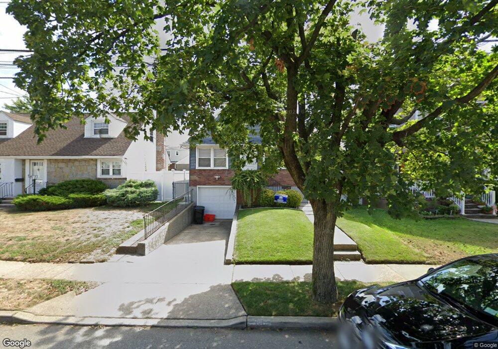
39 Rintin St Franklin Square, NY 11010
Estimated Value: $697,010 - $752,000
Studio
1
Bath
1,176
Sq Ft
$616/Sq Ft
Est. Value
About This Home
This home is located at 39 Rintin St, Franklin Square, NY 11010 and is currently estimated at $724,505, approximately $616 per square foot. 39 Rintin St is a home located in Nassau County with nearby schools including St Anne's School.
Ownership History
Date
Name
Owned For
Owner Type
Purchase Details
Closed on
Oct 22, 2019
Sold by
Shamayev Yusup and Desousa Adam
Bought by
Dunk Danielle M Van and Tardugno Simone T
Current Estimated Value
Home Financials for this Owner
Home Financials are based on the most recent Mortgage that was taken out on this home.
Original Mortgage
$451,668
Interest Rate
3.62%
Mortgage Type
FHA
Purchase Details
Closed on
Jun 19, 2019
Sold by
Miller Kevin and Miller Mary Regina
Bought by
Shamayev Yusup and Desousa Adam
Purchase Details
Closed on
Aug 13, 2004
Sold by
Piliere Kevin
Bought by
Miller Kevin
Purchase Details
Closed on
Jan 31, 2001
Create a Home Valuation Report for This Property
The Home Valuation Report is an in-depth analysis detailing your home's value as well as a comparison with similar homes in the area
Home Values in the Area
Average Home Value in this Area
Purchase History
| Date | Buyer | Sale Price | Title Company |
|---|---|---|---|
| Dunk Danielle M Van | $460,000 | Judicial Title | |
| Shamayev Yusup | $390,000 | Chicago Title | |
| Miller Kevin | $300,000 | -- | |
| -- | -- | -- |
Source: Public Records
Mortgage History
| Date | Status | Borrower | Loan Amount |
|---|---|---|---|
| Previous Owner | Dunk Danielle M Van | $451,668 |
Source: Public Records
Tax History
| Year | Tax Paid | Tax Assessment Tax Assessment Total Assessment is a certain percentage of the fair market value that is determined by local assessors to be the total taxable value of land and additions on the property. | Land | Improvement |
|---|---|---|---|---|
| 2025 | $9,872 | $449 | $208 | $241 |
| 2024 | $3,725 | $424 | $191 | $233 |
Source: Public Records
Map
Nearby Homes
- 131 Grange St
- 814 Benris Ave
- 41 Goldenrod Ave
- 62 Poppy Ave
- 128 Rule St
- 232 Ribbon St
- 109 Caroline Ave
- 32 Madison Ave
- 249 Grange St
- 594 Fenworth Blvd
- 163 Hoffman St
- 263 James St
- 55 Brixton Rd S
- 292 Madison St
- 124 Kilburn Rd S
- 207 Wellington Rd S
- 191 Euston Rd S
- 215 Monroe St
- 1004 Wool Ave
- 51 Pacific St
Your Personal Tour Guide
Ask me questions while you tour the home.