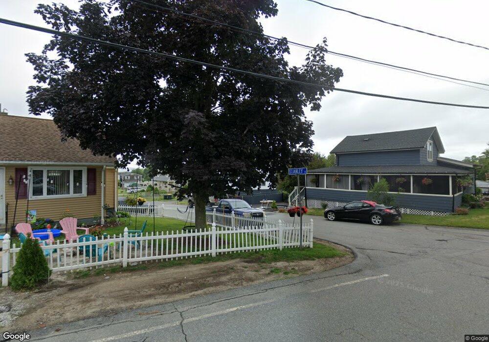
39 Stanley St Somerset, MA 02725
Brayton Point NeighborhoodEstimated Value: $466,861 - $560,000
About This Home
This home is located at 39 Stanley St, Somerset, MA 02725 and is currently estimated at $501,965, approximately $285 per square foot. 39 Stanley St is a home located in Bristol County with nearby schools including South Elementary School, Somerset Middle School, and Swansea Wood School.
Ownership History
We collect this data history from publicly available records. To have your information removed, we recommend requesting removal directly through your county’s website.
Purchase Details
Home Financials for this Owner
Home Financials are based on the most recent Mortgage that was taken out on this home.Home Values in the Area
Average Home Value in this Area
Purchase History
We collect this data history from publicly available records. To have your information removed, we recommend requesting removal directly through your county’s website.
| Date | Buyer | Sale Price | Title Company |
|---|---|---|---|
| $250,000 | -- | ||
| $250,000 | -- |
Mortgage History
We collect this data history from publicly available records. To have your information removed, we recommend requesting removal directly through your county’s website.
| Date | Status | Borrower | Loan Amount |
|---|---|---|---|
| Open | $200,000 | ||
| Closed | $200,000 | ||
| Previous Owner | $30,000 | ||
| Previous Owner | $62,000 |
Tax History
We collect this data history from publicly available records. To have your information removed, we recommend requesting removal directly through your county’s website.
| Year | Tax Paid | Tax Assessment Tax Assessment Total Assessment is a certain percentage of the fair market value that is determined by local assessors to be the total taxable value of land and additions on the property. | Land | Improvement |
|---|---|---|---|---|
| 2025 | $4,984 | $374,700 | $149,700 | $225,000 |
| 2024 | $4,680 | $365,900 | $149,700 | $216,200 |
| 2023 | $4,244 | $334,700 | $124,500 | $210,200 |
| 2022 | $3,922 | $295,100 | $107,300 | $187,800 |
| 2021 | $3,953 | $269,300 | $96,900 | $172,400 |
| 2020 | $3,814 | $250,600 | $97,100 | $153,500 |
| 2019 | $4,294 | $235,300 | $97,100 | $138,200 |
| 2018 | $3,731 | $220,000 | $93,000 | $127,000 |
| 2017 | $3,642 | $209,300 | $88,600 | $120,700 |
| 2016 | $3,477 | $198,600 | $77,900 | $120,700 |
| 2015 | $3,463 | $199,600 | $89,800 | $109,800 |
| 2014 | $4,649 | $192,500 | $89,800 | $102,700 |
Map
- 57 Oneil Rd
- 535 Shirley Ave
- 1366 Gardners Neck Rd
- 91 Sycamore St
- 100 Sycamore St
- 52 Sheraton Ave
- 159 Wilder St
- 19 Keller Ave
- 278 Division St
- 12 Sachem St
- 0 Milne Ave (Ns)
- 233 Eagle St
- 227 Eagle St
- 31 Sachem St
- 284 Broadway Unit 288
- 750 Davol St Unit 321
- 750 Davol St Unit 519
- 750 Davol St Unit 318
- 327 William St
- 0 Dexter St
Ask me questions while you tour the home.