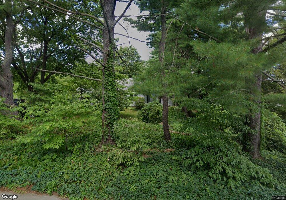
39 Stead Ave Attleboro, MA 02703
Estimated Value: $541,000 - $587,000
3
Beds
3
Baths
1,680
Sq Ft
$337/Sq Ft
Est. Value
About This Home
This home is located at 39 Stead Ave, Attleboro, MA 02703 and is currently estimated at $566,671, approximately $337 per square foot. 39 Stead Ave is a home with nearby schools including A. Irvin Studley Elementary School, Robert J. Coelho Middle School, and Attleboro High School.
Ownership History
Date
Name
Owned For
Owner Type
Purchase Details
Closed on
Aug 13, 2009
Sold by
Walker Marie E and Martin Sandra D
Bought by
Martin Sean P
Current Estimated Value
Home Financials for this Owner
Home Financials are based on the most recent Mortgage that was taken out on this home.
Original Mortgage
$200,000
Outstanding Balance
$130,331
Interest Rate
5.36%
Mortgage Type
Purchase Money Mortgage
Estimated Equity
$436,340
Create a Home Valuation Report for This Property
The Home Valuation Report is an in-depth analysis detailing your home's value as well as a comparison with similar homes in the area
Home Values in the Area
Average Home Value in this Area
Purchase History
| Date | Buyer | Sale Price | Title Company |
|---|---|---|---|
| Martin Sean P | -- | -- | |
| Martin Sandra D | -- | -- | |
| Martin Sean P | -- | -- | |
| Martin Sean P | -- | -- | |
| Martin Sandra D | -- | -- |
Source: Public Records
Mortgage History
| Date | Status | Borrower | Loan Amount |
|---|---|---|---|
| Open | Martin Sandra D | $200,000 | |
| Closed | Martin Sean P | $200,000 |
Source: Public Records
Tax History
| Year | Tax Paid | Tax Assessment Tax Assessment Total Assessment is a certain percentage of the fair market value that is determined by local assessors to be the total taxable value of land and additions on the property. | Land | Improvement |
|---|---|---|---|---|
| 2025 | $5,694 | $453,700 | $133,800 | $319,900 |
| 2024 | $5,543 | $435,400 | $133,800 | $301,600 |
| 2023 | $5,039 | $368,100 | $122,000 | $246,100 |
| 2022 | $4,821 | $333,600 | $116,400 | $217,200 |
| 2021 | $4,800 | $324,300 | $112,200 | $212,100 |
| 2020 | $4,594 | $315,500 | $108,800 | $206,700 |
| 2019 | $4,472 | $315,800 | $106,800 | $209,000 |
| 2018 | $4,323 | $291,700 | $103,800 | $187,900 |
| 2017 | $4,244 | $291,700 | $103,800 | $187,900 |
| 2016 | $4,176 | $281,800 | $101,900 | $179,900 |
| 2015 | $4,056 | $275,700 | $101,900 | $173,800 |
| 2014 | $3,992 | $268,800 | $97,200 | $171,600 |
Source: Public Records
Map
Nearby Homes
- 33 Stead Ave
- 47 Stead Ave
- 24 Stead Ave
- 25 Stead Ave
- 28 Stead Ave
- Lot A Stead Ave
- 126 Phillips St
- 130 Phillips St
- 110 Phillips St
- 110 Phillips St Unit 7
- 110 Phillips St Unit 4
- 120 Phillips St
- 60 Phillips St Unit 7-2
- 60 Phillips St Unit 1-3
- 60 Phillips St Unit 2-3
- 60 Phillips St Unit 4-3
- 60 Phillips St Unit 8/6
- 60 Phillips St Unit 9/2
- 60 Phillips St Unit 8-5
- 60 Phillips St Unit 1-1
Your Personal Tour Guide
Ask me questions while you tour the home.