Estimated Value: $442,000 - $484,000
About This Home
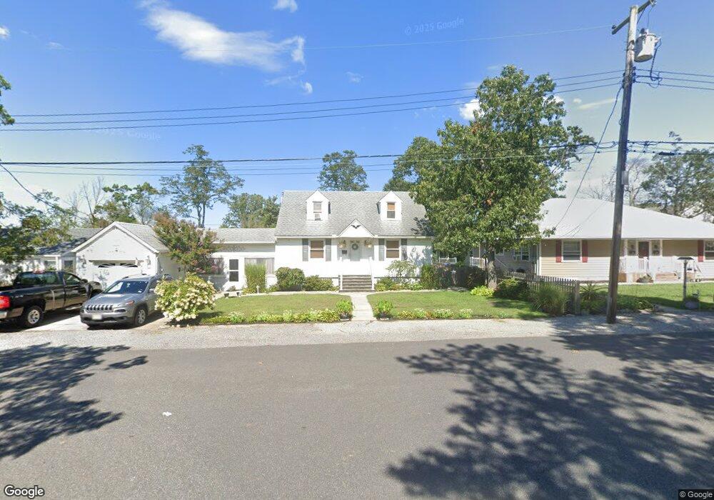
This home is located at 39 Unity Dr, Brick, NJ 08723 and is currently estimated at $457,668, approximately $369 per square foot. 39 Unity Dr is a home located in Ocean County with nearby schools including Emma Havens Young Elementary School, Lake Riviera Middle School, and Brick Township High School.
Ownership History
We collect this data history from publicly available records. To have your information removed, we recommend requesting removal directly through your county’s website.
Purchase Details
Home Financials for this Owner
Home Financials are based on the most recent Mortgage that was taken out on this home.Home Values in the Area
Average Home Value in this Area
Purchase History
We collect this data history from publicly available records. To have your information removed, we recommend requesting removal directly through your county’s website.
| Date | Buyer | Sale Price | Title Company |
|---|---|---|---|
| $94,000 | Lawyers Title Insurance Corp |
Mortgage History
We collect this data history from publicly available records. To have your information removed, we recommend requesting removal directly through your county’s website.
| Date | Status | Borrower | Loan Amount |
|---|---|---|---|
| Open | $93,200 |
Tax History
We collect this data history from publicly available records. To have your information removed, we recommend requesting removal directly through your county’s website.
| Year | Tax Paid | Tax Assessment Tax Assessment Total Assessment is a certain percentage of the fair market value that is determined by local assessors to be the total taxable value of land and additions on the property. | Land | Improvement |
|---|---|---|---|---|
| 2025 | $6,055 | $223,100 | $118,000 | $105,100 |
| 2024 | $5,477 | $223,100 | $118,000 | $105,100 |
| 2023 | $5,406 | $223,100 | $118,000 | $105,100 |
| 2022 | $5,406 | $223,100 | $118,000 | $105,100 |
| 2021 | $5,059 | $223,100 | $118,000 | $105,100 |
| 2020 | $5,225 | $223,100 | $118,000 | $105,100 |
| 2019 | $5,138 | $223,100 | $118,000 | $105,100 |
| 2018 | $5,020 | $223,100 | $118,000 | $105,100 |
| 2017 | $4,884 | $223,100 | $118,000 | $105,100 |
| 2016 | $4,859 | $223,100 | $118,000 | $105,100 |
| 2015 | $4,732 | $223,100 | $118,000 | $105,100 |
| 2014 | $4,694 | $223,100 | $118,000 | $105,100 |
Map
- 519 Barber Ave
- 516 Vannote Dr
- 775 Downey Ave
- 458 E End Ave
- 770 Pine Dr
- 734 Eastern Ln
- 826 Lynnwood Ave
- 513 Glenwood Ave
- 479 Monmouth Ave
- 746 Pine Dr
- 744 Pine Dr
- 67 London Rd
- 2595 Hooper Ave
- 459 Vine St
- 649 Mark Manor Dr
- 710 Western Ln
- 897 Lynnwood Ave
- 592 Kingfisher Cir
- 22 Island Dr
- 593 Beach Plum Rd
- 525 Vannote Dr
- 523 Vannote Dr
- 535 Vannote Dr
- 32 Stuyvesant Rd
- 524 Vannote Dr
- 34 Stuyvesant Rd
- 521 Vannote Dr
- 522 Vannote Dr
- 526 Vannote Dr
- 36 Stuyvesant Rd
- 28 Stuyvesant Rd
- 519 Vannote Dr
- 520 Vannote Dr
- 529 Barber Ave
- 531 Barber Ave
- 38 Stuyvesant Rd
- 533 Barber Ave
- 24 Stuyvesant Rd
- 523 Barber Ave
- 535 Barber Ave
Ask me questions while you tour the home.