Estimated Value: $301,315 - $500,000
4
Beds
2
Baths
3,015
Sq Ft
$126/Sq Ft
Est. Value
About This Home
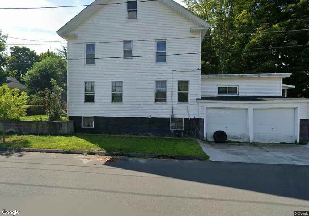
This home is located at 39 Walnut St, Athol, MA 01331 and is currently estimated at $378,829, approximately $125 per square foot. 39 Walnut St is a home located in Worcester County with nearby schools including Athol High School.
Ownership History
Date
Name
Owned For
Owner Type
Purchase Details
Closed on
Jan 16, 2026
Sold by
Wiesenfeld-Brown Audrey
Bought by
Wiesenfeld Zackery A
Current Estimated Value
Purchase Details
Closed on
Oct 3, 2025
Sold by
Brown Audrey
Bought by
Brown Audrey
Home Financials for this Owner
Home Financials are based on the most recent Mortgage that was taken out on this home.
Original Mortgage
$219,000
Interest Rate
6.56%
Mortgage Type
New Conventional
Purchase Details
Closed on
Dec 23, 2008
Sold by
Wiesenfeld Audrey L
Bought by
Wiesenfeld Audrey L and Brown Kenneth
Purchase Details
Closed on
Nov 4, 2002
Sold by
Mohawk Properties Llc
Bought by
Wiesenfeld Audrey L
Home Financials for this Owner
Home Financials are based on the most recent Mortgage that was taken out on this home.
Original Mortgage
$108,450
Interest Rate
6.09%
Mortgage Type
Purchase Money Mortgage
Create a Home Valuation Report for This Property
The Home Valuation Report is an in-depth analysis detailing your home's value as well as a comparison with similar homes in the area
Home Values in the Area
Average Home Value in this Area
Purchase History
| Date | Buyer | Sale Price | Title Company |
|---|---|---|---|
| Wiesenfeld Zackery A | -- | -- | |
| Brown Audrey | -- | -- | |
| Wiesenfeld Audrey L | -- | -- | |
| Wiesenfeld Audrey L | -- | -- | |
| Wiesenfeld Audrey L | $114,200 | -- |
Source: Public Records
Mortgage History
| Date | Status | Borrower | Loan Amount |
|---|---|---|---|
| Previous Owner | Brown Audrey | $219,000 | |
| Previous Owner | Wiesenfeld Audrey L | $108,450 |
Source: Public Records
Tax History
| Year | Tax Paid | Tax Assessment Tax Assessment Total Assessment is a certain percentage of the fair market value that is determined by local assessors to be the total taxable value of land and additions on the property. | Land | Improvement |
|---|---|---|---|---|
| 2025 | $2,939 | $231,200 | $46,300 | $184,900 |
| 2024 | $2,892 | $225,400 | $46,300 | $179,100 |
| 2023 | $2,823 | $201,100 | $33,500 | $167,600 |
| 2022 | $2,704 | $168,500 | $31,900 | $136,600 |
| 2021 | $2,077 | $117,600 | $29,000 | $88,600 |
| 2020 | $1,843 | $107,300 | $26,400 | $80,900 |
| 2019 | $1,846 | $105,800 | $24,900 | $80,900 |
| 2018 | $1,975 | $100,900 | $22,600 | $78,300 |
| 2017 | $2,058 | $100,900 | $22,600 | $78,300 |
| 2016 | $1,975 | $99,600 | $22,600 | $77,000 |
| 2015 | $1,895 | $99,600 | $22,600 | $77,000 |
| 2014 | $1,836 | $99,600 | $22,600 | $77,000 |
Source: Public Records
Map
Nearby Homes
Your Personal Tour Guide
Ask me questions while you tour the home.