390 Brooke Way Newark, OH 43055
Estimated Value: $41,797 - $280,000
Studio
--
Bath
--
Sq Ft
9,148
Sq Ft Lot
About This Home
This home is located at 390 Brooke Way, Newark, OH 43055 and is currently estimated at $168,199. 390 Brooke Way is a home located in Licking County with nearby schools including Hillview Elementary School, Heritage Middle School, and Newark High School.
Ownership History
Date
Name
Owned For
Owner Type
Purchase Details
Closed on
Jun 13, 2018
Sold by
Posey Jeffrey S and Posey Rebecca M
Bought by
Decker William R and Decker Shelley T
Current Estimated Value
Purchase Details
Closed on
May 24, 2004
Sold by
Lc Development Of Licking County Ltd
Bought by
Posey Jeffrey S and Posey Rebecca M
Home Financials for this Owner
Home Financials are based on the most recent Mortgage that was taken out on this home.
Original Mortgage
$140,000
Interest Rate
5.85%
Mortgage Type
Construction
Create a Home Valuation Report for This Property
The Home Valuation Report is an in-depth analysis detailing your home's value as well as a comparison with similar homes in the area
Home Values in the Area
Average Home Value in this Area
Purchase History
| Date | Buyer | Sale Price | Title Company |
|---|---|---|---|
| Decker William R | $23,000 | Ambassador Title Mailbox | |
| Posey Jeffrey S | $32,000 | -- |
Source: Public Records
Mortgage History
| Date | Status | Borrower | Loan Amount |
|---|---|---|---|
| Previous Owner | Posey Jeffrey S | $140,000 |
Source: Public Records
Tax History
| Year | Tax Paid | Tax Assessment Tax Assessment Total Assessment is a certain percentage of the fair market value that is determined by local assessors to be the total taxable value of land and additions on the property. | Land | Improvement |
|---|---|---|---|---|
| 2024 | $487 | $13,230 | $13,230 | $0 |
| 2023 | $705 | $13,230 | $13,230 | $0 |
| 2022 | $432 | $10,400 | $10,400 | $0 |
| 2021 | $453 | $10,400 | $10,400 | $0 |
| 2020 | $464 | $10,400 | $10,400 | $0 |
| 2019 | $438 | $9,450 | $9,450 | $0 |
| 2018 | $438 | $0 | $0 | $0 |
| 2017 | $479 | $0 | $0 | $0 |
| 2016 | $527 | $0 | $0 | $0 |
| 2015 | $539 | $0 | $0 | $0 |
| 2014 | $264 | $0 | $0 | $0 |
| 2013 | $258 | $0 | $0 | $0 |
Source: Public Records
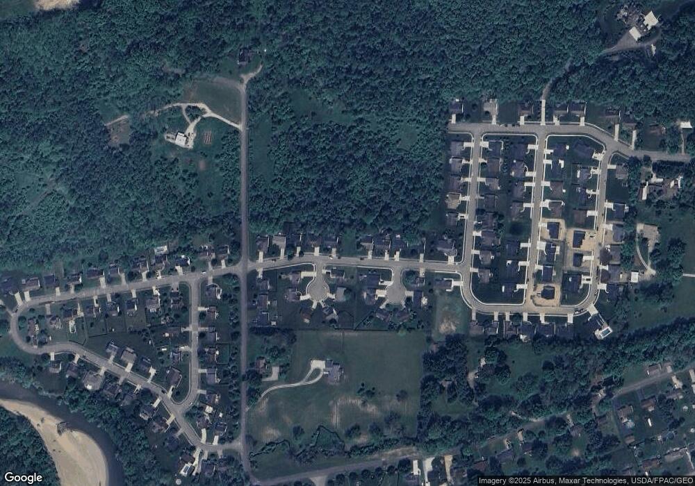
Map
Nearby Homes
- 1953 Horns Hill Rd NE
- 441 Gleneagles Dr
- 2363 Turnberry Ct
- Mt Vernon Rd Unit LotWP001
- 415 St James Gate
- 408 Jameson Ln
- 395 Jameson Ln
- 1821 Mount Vernon Rd
- 373 Kells Ct W
- 98 Glenridge Dr
- 87 Brenton Dr
- 130 Gregory Dr
- 1984 Jamesburg St
- 1960 Jamesburg St
- 1953 Iselin St Unit 150
- 1964 Jamesburg St
- 1980 Jamesburg St
- 1972 Jamesburg St
- 1956 Jamesburg St
- 1954 Iselin St
Your Personal Tour Guide
Ask me questions while you tour the home.