390 Highpoint Cir S Bourbonnais, IL 60914
Estimated Value: $298,000 - $351,000
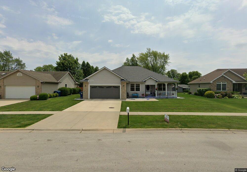
About This Home
This home is located at 390 Highpoint Cir S, Bourbonnais, IL 60914 and is currently estimated at $332,977, approximately $195 per square foot. 390 Highpoint Cir S is a home located in Kankakee County with nearby schools including Noel Levasseur Elementary School, Liberty Intermediate School, and Bourbonnais Upper Grade Center.
Ownership History
We collect this data history from publicly available records. To have your information removed, we recommend requesting removal directly through your county’s website.
Purchase Details
Home Financials for this Owner
Home Financials are based on the most recent Mortgage that was taken out on this home.Home Values in the Area
Average Home Value in this Area
Purchase History
We collect this data history from publicly available records. To have your information removed, we recommend requesting removal directly through your county’s website.
| Date | Buyer | Sale Price | Title Company |
|---|---|---|---|
| $194,500 | Standard Title |
Mortgage History
We collect this data history from publicly available records. To have your information removed, we recommend requesting removal directly through your county’s website.
| Date | Status | Borrower | Loan Amount |
|---|---|---|---|
| Open | $194,500 |
Tax History
We collect this data history from publicly available records. To have your information removed, we recommend requesting removal directly through your county’s website.
| Year | Tax Paid | Tax Assessment Tax Assessment Total Assessment is a certain percentage of the fair market value that is determined by local assessors to be the total taxable value of land and additions on the property. | Land | Improvement |
|---|---|---|---|---|
| 2025 | $7,498 | $109,530 | $12,752 | $96,778 |
| 2024 | $7,498 | $101,540 | $12,030 | $89,510 |
| 2023 | $5,908 | $91,605 | $11,139 | $80,466 |
| 2022 | $6,585 | $82,819 | $10,736 | $72,083 |
| 2021 | $6,349 | $79,615 | $10,500 | $69,115 |
| 2020 | $6,287 | $77,484 | $10,219 | $67,265 |
| 2019 | $6,154 | $75,227 | $9,921 | $65,306 |
| 2018 | $5,906 | $72,241 | $9,774 | $62,467 |
| 2017 | $5,788 | $70,479 | $9,536 | $60,943 |
| 2016 | $5,644 | $69,007 | $9,395 | $59,612 |
| 2015 | $5,530 | $67,305 | $9,302 | $58,003 |
| 2014 | $5,363 | $67,906 | $9,302 | $58,604 |
| 2013 | -- | $69,370 | $9,302 | $60,068 |
Map
- 172 Anita Dr
- 645 Kathy Dr
- 180 Kristina Dr
- 665 Kathy Dr
- 34 Emery Dr
- 60 Hilltop Dr
- 1435 Patriot Way
- 51 Duncan Dr
- 48 Dennison Dr
- 1995 Craftsman Ave
- 1602 Sun Ridge Dr
- 1947 Flagstone Ave
- 855 Magnolia Dr
- 3 Duncan Dr
- 42 Hanson Dr
- 1650 Jennifer Dr
- 471 Spring Park Loop
- 501 Spring Park Loop
- 1552 Stefanie Ln
- 0 Merlot Blanc Ct
- 380 Highpoint Cir S
- 410 Highpoint Cir S
- 370 Highpoint Cir S
- 430 Highpoint Cir S
- 417 Anita Dr
- 405 Anita Dr
- 429 Anita Dr
- 405 Highpoint Cir S
- 425 Highpoint Cir S
- 389 Anita Dr
- 441 Anita Dr
- 385 Highpoint Cir S
- 360 Highpoint Cir S
- 440 Highpoint Cir S
- 445 Highpoint Cir S
- 377 Anita Dr
- 375 Highpoint Cir S
- 453 Anita Dr
- 424 Anita Dr
- 396 Anita Dr
Ask me questions while you tour the home.