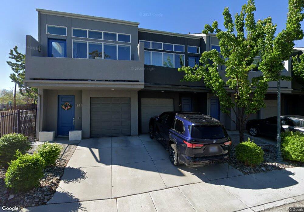
390 State St Reno, NV 89501
MidTown NeighborhoodEstimated Value: $472,000 - $583,000
2
Beds
2
Baths
1,330
Sq Ft
$391/Sq Ft
Est. Value
About This Home
This home is located at 390 State St, Reno, NV 89501 and is currently estimated at $520,082, approximately $391 per square foot. 390 State St is a home located in Washoe County with nearby schools including Libby C Booth Elementary School, Vaughn Middle School, and Earl Wooster High School.
Ownership History
Date
Name
Owned For
Owner Type
Purchase Details
Closed on
Feb 17, 2010
Sold by
Management & Development Services Inc
Bought by
Dennis Shelinda
Current Estimated Value
Home Financials for this Owner
Home Financials are based on the most recent Mortgage that was taken out on this home.
Original Mortgage
$158,476
Outstanding Balance
$103,526
Interest Rate
4.93%
Mortgage Type
FHA
Estimated Equity
$416,556
Create a Home Valuation Report for This Property
The Home Valuation Report is an in-depth analysis detailing your home's value as well as a comparison with similar homes in the area
Home Values in the Area
Average Home Value in this Area
Purchase History
| Date | Buyer | Sale Price | Title Company |
|---|---|---|---|
| Dennis Shelinda | $161,500 | Northern Nevada Title Cc |
Source: Public Records
Mortgage History
| Date | Status | Borrower | Loan Amount |
|---|---|---|---|
| Open | Dennis Shelinda | $158,476 |
Source: Public Records
Tax History
| Year | Tax Paid | Tax Assessment Tax Assessment Total Assessment is a certain percentage of the fair market value that is determined by local assessors to be the total taxable value of land and additions on the property. | Land | Improvement |
|---|---|---|---|---|
| 2026 | $2,672 | $92,583 | $36,750 | $55,833 |
| 2024 | $3,350 | $93,634 | $35,840 | $57,794 |
| 2023 | $3,112 | $84,626 | $33,495 | $51,131 |
| 2022 | $2,876 | $76,854 | $33,110 | $43,744 |
| 2021 | $2,649 | $67,669 | $24,115 | $43,554 |
| 2020 | $2,499 | $65,820 | $21,770 | $44,050 |
| 2019 | $2,393 | $65,854 | $23,205 | $42,649 |
| 2018 | $2,265 | $58,338 | $16,660 | $41,678 |
| 2017 | $2,222 | $58,010 | $16,660 | $41,350 |
| 2016 | $2,158 | $54,685 | $13,755 | $40,930 |
| 2015 | $2,160 | $54,193 | $12,250 | $41,943 |
| 2014 | $2,103 | $51,283 | $11,725 | $39,558 |
| 2013 | -- | $47,920 | $8,785 | $39,135 |
Source: Public Records
Map
Nearby Homes
- 101 S Wells Ave
- 330 Stewart St
- 536 Sinclair St
- 627 E 2nd St
- 831 Ryland St
- 50 N Sierra St Unit 601
- 50 N Sierra St Unit 909
- 50 N Sierra St Unit 805
- 50 N Sierra St Unit 910
- 446 Roberts St
- 255 N Sierra St Unit 1011
- 255 N Sierra St Unit 407
- 255 N Sierra St Unit 1419
- 255 N Sierra St Unit 1908
- 255 N Sierra St Unit 1707
- 255 N Sierra St Unit 904
- 255 N Sierra St Unit 1408
- 255 N Sierra St Unit 2303
- 255 N Sierra St Unit 1012
- 255 N Sierra St Unit 2313
Your Personal Tour Guide
Ask me questions while you tour the home.