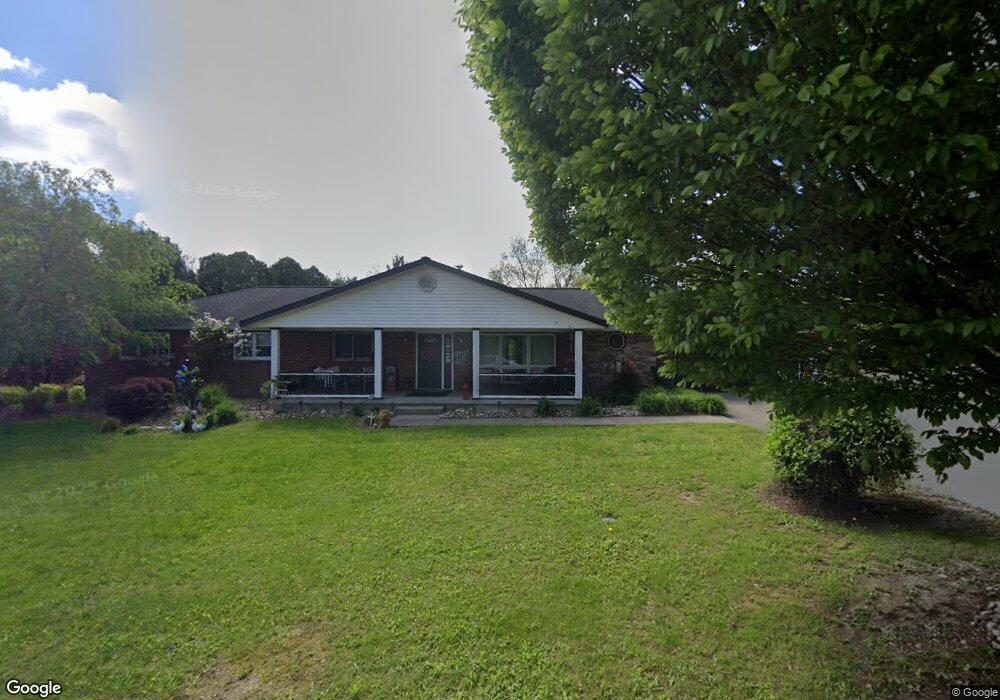
3902 Mark Rd Cambridge, OH 43725
Estimated Value: $250,624 - $327,000
Studio
--
Bath
1,820
Sq Ft
$158/Sq Ft
Est. Value
About This Home
This home is located at 3902 Mark Rd, Cambridge, OH 43725 and is currently estimated at $286,656, approximately $157 per square foot. 3902 Mark Rd is a home with nearby schools including New Concord Elementary School, Larry Miller Intermediate Elementary School, and East Muskingum Middle School.
Ownership History
Date
Name
Owned For
Owner Type
Purchase Details
Closed on
Aug 2, 2006
Sold by
Belcher Adam R and Belcher Maria Del Carmen
Bought by
Brown Kathy A and Brown Jerry S
Current Estimated Value
Home Financials for this Owner
Home Financials are based on the most recent Mortgage that was taken out on this home.
Original Mortgage
$136,000
Outstanding Balance
$79,345
Interest Rate
6.82%
Mortgage Type
Purchase Money Mortgage
Estimated Equity
$207,311
Create a Home Valuation Report for This Property
The Home Valuation Report is an in-depth analysis detailing your home's value as well as a comparison with similar homes in the area
Purchase History
| Date | Buyer | Sale Price | Title Company |
|---|---|---|---|
| Brown Kathy A | -- | -- |
Source: Public Records
Mortgage History
| Date | Status | Borrower | Loan Amount |
|---|---|---|---|
| Open | Brown Kathy A | $136,000 |
Source: Public Records
Tax History
| Year | Tax Paid | Tax Assessment Tax Assessment Total Assessment is a certain percentage of the fair market value that is determined by local assessors to be the total taxable value of land and additions on the property. | Land | Improvement |
|---|---|---|---|---|
| 2025 | $2,746 | $67,892 | $7,542 | $60,350 |
| 2024 | $2,748 | $67,892 | $7,542 | $60,350 |
| 2023 | $2,657 | $51,828 | $5,758 | $46,070 |
| 2022 | $2,222 | $51,830 | $5,760 | $46,070 |
| 2021 | $2,148 | $51,830 | $5,760 | $46,070 |
| 2020 | $1,966 | $47,660 | $4,730 | $42,930 |
| 2019 | $6 | $47,660 | $4,730 | $42,930 |
| 2018 | $1,809 | $47,660 | $4,730 | $42,930 |
| 2017 | $1,826 | $41,310 | $4,130 | $37,180 |
| 2016 | $1,632 | $41,310 | $4,130 | $37,180 |
| 2015 | $1,632 | $41,310 | $4,130 | $37,180 |
| 2014 | -- | $37,290 | $3,470 | $33,820 |
| 2013 | $1,490 | $37,290 | $3,470 | $33,820 |
Source: Public Records
Map
Nearby Homes
- 3719 Holmes Rd
- 61220 Kadon Dr
- 61266 Kent Ln
- 4896 High Hill Rd
- 60040 Bliss Rd
- 6123 Fairdale Dr
- 5617 Skyline Dr
- 5721 Skyline Dr
- 0 Haught Rd Unit 5180764
- 0 Haught Rd Unit 5181769
- 64473 Haught Rd
- 122 Myrna Dr
- 0 Christian Hill Rd
- 141 Meadowpark Dr
- 3278 Rough & Ready Rd
- 148 Merrick Rd
- 110 Cherry Ln
- 67 E Main St
- 5495 College Hill Rd
- 4542 Bloomfield Rd
Your Personal Tour Guide
Ask me questions while you tour the home.