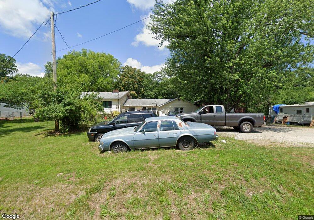
3905 Gary Rd Arnold, MO 63010
Estimated Value: $196,359 - $345,000
Studio
--
Bath
1,512
Sq Ft
$182/Sq Ft
Est. Value
About This Home
This home is located at 3905 Gary Rd, Arnold, MO 63010 and is currently estimated at $275,090, approximately $181 per square foot. 3905 Gary Rd is a home located in Jefferson County with nearby schools including Lone Dell Elementary School, Ridgewood Middle School, and Seckman Senior High School.
Ownership History
Date
Name
Owned For
Owner Type
Purchase Details
Closed on
Dec 19, 1997
Sold by
Ahrens Harold E
Bought by
Mcclain Alan and Mcclain Nicole
Current Estimated Value
Home Financials for this Owner
Home Financials are based on the most recent Mortgage that was taken out on this home.
Original Mortgage
$65,960
Interest Rate
7.18%
Purchase Details
Closed on
Nov 9, 1997
Sold by
Ahrens Harold and Moore John C
Bought by
Ahrens Harold
Home Financials for this Owner
Home Financials are based on the most recent Mortgage that was taken out on this home.
Original Mortgage
$65,960
Interest Rate
7.18%
Create a Home Valuation Report for This Property
The Home Valuation Report is an in-depth analysis detailing your home's value as well as a comparison with similar homes in the area
Home Values in the Area
Average Home Value in this Area
Purchase History
| Date | Buyer | Sale Price | Title Company |
|---|---|---|---|
| Mcclain Alan | -- | Commonwealth Title | |
| Ahrens Harold | -- | Commonwealth Title |
Source: Public Records
Mortgage History
| Date | Status | Borrower | Loan Amount |
|---|---|---|---|
| Previous Owner | Mcclain Alan | $65,960 |
Source: Public Records
Tax History
| Year | Tax Paid | Tax Assessment Tax Assessment Total Assessment is a certain percentage of the fair market value that is determined by local assessors to be the total taxable value of land and additions on the property. | Land | Improvement |
|---|---|---|---|---|
| 2025 | $1,413 | $21,100 | $2,700 | $18,400 |
| 2024 | $1,413 | $19,800 | $2,700 | $17,100 |
| 2023 | $1,413 | $19,800 | $2,700 | $17,100 |
| 2022 | $1,403 | $19,800 | $2,700 | $17,100 |
| 2021 | $1,404 | $19,800 | $2,700 | $17,100 |
| 2020 | $1,332 | $17,800 | $2,500 | $15,300 |
| 2019 | $1,336 | $17,800 | $2,500 | $15,300 |
| 2018 | $1,326 | $17,800 | $2,500 | $15,300 |
| 2017 | $1,284 | $17,800 | $2,500 | $15,300 |
| 2016 | $1,051 | $15,700 | $2,500 | $13,200 |
Source: Public Records
Map
Nearby Homes
- 4581 Annandale Ave
- 3600 Gary Rd
- 4825 Sierra View Place
- 1018 Paula Dr
- 3 Jeremy Ct
- 1311 Timber Creek Ln
- 1006 Paula Dr
- 3352 Vine Clad Hill Dr
- 3392 Vine Clad Hill Dr
- 3339 Vine Clad Hill Dr
- 1 Sydney @ Arlington Heights
- 1 Savoy @ Arlington Heights
- 1 Rockport @ Arlington Heights
- 1 Barkley @ Arlington Heights
- 0 Claystone Dr
- 1108 Timber Creek Ln
- 4543 Bella Terra Dr
- 4584 Bella Terra Dr
- 4573 Bella Terra Dr
- 4585 Bella Terra Dr
Your Personal Tour Guide
Ask me questions while you tour the home.