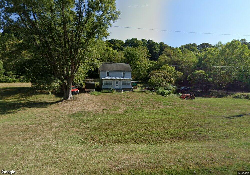
39076 State Route 124 Pomeroy, OH 45769
Estimated Value: $76,000 - $175,000
4
Beds
1
Bath
1,632
Sq Ft
$65/Sq Ft
Est. Value
About This Home
This home is located at 39076 State Route 124, Pomeroy, OH 45769 and is currently estimated at $106,241, approximately $65 per square foot. 39076 State Route 124 is a home located in Meigs County with nearby schools including Meigs Primary School, Meigs Intermediate School, and Meigs Middle School.
Ownership History
Date
Name
Owned For
Owner Type
Purchase Details
Closed on
Oct 9, 2019
Sold by
Meadows Sharon J
Bought by
Riggs Stephen J and Riggs Stacy
Current Estimated Value
Home Financials for this Owner
Home Financials are based on the most recent Mortgage that was taken out on this home.
Original Mortgage
$38,000
Outstanding Balance
$32,845
Interest Rate
3.5%
Mortgage Type
New Conventional
Estimated Equity
$73,396
Purchase Details
Closed on
Apr 14, 2016
Bought by
Sharon R Meadows
Create a Home Valuation Report for This Property
The Home Valuation Report is an in-depth analysis detailing your home's value as well as a comparison with similar homes in the area
Purchase History
| Date | Buyer | Sale Price | Title Company |
|---|---|---|---|
| Riggs Stephen J | $40,000 | None Available | |
| Sharon R Meadows | -- | -- |
Source: Public Records
Mortgage History
| Date | Status | Borrower | Loan Amount |
|---|---|---|---|
| Open | Riggs Stephen J | $38,000 |
Source: Public Records
Tax History
| Year | Tax Paid | Tax Assessment Tax Assessment Total Assessment is a certain percentage of the fair market value that is determined by local assessors to be the total taxable value of land and additions on the property. | Land | Improvement |
|---|---|---|---|---|
| 2025 | $369 | $12,600 | $6,040 | $6,560 |
| 2024 | $369 | $15,620 | $5,250 | $10,370 |
| 2023 | $463 | $15,620 | $5,250 | $10,370 |
| 2022 | $468 | $15,620 | $5,250 | $10,370 |
| 2021 | $523 | $15,070 | $5,250 | $9,820 |
| 2020 | $525 | $15,070 | $5,250 | $9,820 |
| 2019 | $220 | $15,070 | $5,250 | $9,820 |
| 2018 | $29 | $9,590 | $1,050 | $8,540 |
| 2017 | $29 | $9,590 | $1,050 | $8,540 |
| 2016 | $28 | $9,590 | $1,050 | $8,540 |
| 2014 | $218 | $13,690 | $1,050 | $12,640 |
| 2013 | $218 | $13,690 | $1,050 | $12,640 |
Source: Public Records
Map
Nearby Homes
- 32164 Avenue Bridge Rd
- 0 Lincoln Dr
- 0 Lincoln Heights Unit 2433021
- 31365 T-174
- 653 Osborne St
- 6 Cave St
- 33475 Bailey Run Rd
- 32290 Bailey Run Rd
- 148 Lincoln Hill
- 290 Mulberry Ave
- 691 Brownell Ave
- 507 Mill St
- 37422 State Route 124
- 586 Lincoln St
- 253 S 5th Ave
- 900 Broadway St
- 391 S 5th Ave
- 691 2nd St
- 109 W Brown St
- 463 S 4th Ave
- 39118 State Route 124
- 31460 Snowden Rd
- 39012 State Route 124
- 31455 Snowden Rd
- 39175 State Route 124
- 31445 Snowden Rd
- 31445 Snowden Rd
- 38960 State Route 124
- 43038 Ohio 124
- 38974 Ohio 124
- 38974 State Route 124
- 38920 State Route 124
- 31853 Dead Mans Curve Rd
- 38781 State Route 124
- 38781 Ohio 124
- 38690 State Route 124
- 38659 State Route 124
- 38640 State Route 124
- 31048 Meiers Rd
- 38570 State Route 124
Your Personal Tour Guide
Ask me questions while you tour the home.