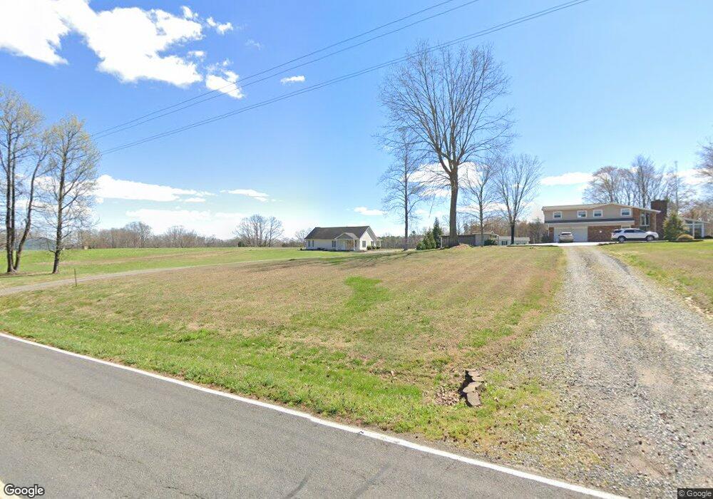
391 Elmore Rd Mocksville, NC 27028
Estimated Value: $220,000 - $238,120
3
Beds
2
Baths
1,350
Sq Ft
$169/Sq Ft
Est. Value
About This Home
This home is located at 391 Elmore Rd, Mocksville, NC 27028 and is currently estimated at $228,780, approximately $169 per square foot. 391 Elmore Rd is a home located in Davie County with nearby schools including William R. Davie Elementary School, North Davie Middle School, and Davie County High School.
Ownership History
Date
Name
Owned For
Owner Type
Purchase Details
Closed on
May 12, 2005
Sold by
Crews Mary A
Bought by
Crews Jerry and Crews Janie
Current Estimated Value
Purchase Details
Closed on
Jun 10, 2002
Sold by
Crews Jerry and Crews Janie
Bought by
Hendrix Jordan and Hendrix Ashley Jordan
Home Financials for this Owner
Home Financials are based on the most recent Mortgage that was taken out on this home.
Original Mortgage
$114,000
Interest Rate
3.2%
Mortgage Type
New Conventional
Create a Home Valuation Report for This Property
The Home Valuation Report is an in-depth analysis detailing your home's value as well as a comparison with similar homes in the area
Purchase History
| Date | Buyer | Sale Price | Title Company |
|---|---|---|---|
| Crews Jerry | $6,000 | None Avelable | |
| Hendrix Jordan | $120,000 | None Available |
Source: Public Records
Mortgage History
| Date | Status | Borrower | Loan Amount |
|---|---|---|---|
| Previous Owner | Hendrix Jordan | $114,000 |
Source: Public Records
Tax History
| Year | Tax Paid | Tax Assessment Tax Assessment Total Assessment is a certain percentage of the fair market value that is determined by local assessors to be the total taxable value of land and additions on the property. | Land | Improvement |
|---|---|---|---|---|
| 2025 | $1,206 | $175,080 | $21,000 | $154,080 |
| 2024 | $991 | $128,260 | $15,820 | $112,440 |
| 2023 | $991 | $128,260 | $15,820 | $112,440 |
| 2022 | $991 | $128,260 | $15,820 | $112,440 |
| 2021 | $991 | $128,260 | $15,820 | $112,440 |
| 2020 | $899 | $115,600 | $15,820 | $99,780 |
| 2019 | $899 | $115,600 | $15,820 | $99,780 |
| 2018 | $899 | $115,600 | $15,820 | $99,780 |
| 2017 | $888 | $115,600 | $0 | $0 |
| 2016 | $923 | $120,190 | $0 | $0 |
| 2015 | $923 | $120,190 | $0 | $0 |
| 2014 | $793 | $120,190 | $0 | $0 |
| 2013 | -- | $120,190 | $0 | $0 |
Source: Public Records
Map
Nearby Homes
- 254 Speer Rd
- 193 Greenfield Rd
- 1186 Wagner Rd
- 177 Liberty Church Rd
- 4343 US Highway 601 N
- 1160 Wagner Rd
- 00 N US Highway 601 Unit 2A
- 00 N US Highway 601
- 212 Jack Booe Rd
- 000 N US Highway 601 Unit 2B
- 000 N US Highway 601
- 221 Jolley Rd
- 0 Ben Anderson Rd
- 0 N US Highway 601 Unit 2A;2B;2C
- 0 N US Highway 601 Unit 1207383
- 174 Culloden Dr
- 221 Culloden Dr
- 200 Bramblewood Ln
- 153 Summerlyn Dr
- 000 Ben Anderson Rd
Your Personal Tour Guide
Ask me questions while you tour the home.