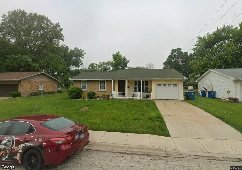
391 W Drummond Dr Bourbonnais, IL 60914
Estimated Value: $200,198 - $257,000
Studio
--
Bath
--
Sq Ft
9,714
Sq Ft Lot Lot
About This Home
This home is located at 391 W Drummond Dr, Bourbonnais, IL 60914 and is currently estimated at $223,800. 391 W Drummond Dr is a home located in Kankakee County with nearby schools including Alan B. Shepard Elementary School, Liberty Intermediate School, and Bourbonnais Upper Grade Center.
Ownership History
Date
Name
Owned For
Owner Type
Purchase Details
Closed on
Nov 15, 2021
Sold by
Trust No 2590
Bought by
Mendoza Rogelio and Mendoza Maria Uadalupe
Current Estimated Value
Purchase Details
Closed on
Jul 27, 2020
Sold by
Bellomy Donald R and Bellomy Sharon E
Bought by
Trust Number 2590
Create a Home Valuation Report for This Property
The Home Valuation Report is an in-depth analysis detailing your home's value as well as a comparison with similar homes in the area
Home Values in the Area
Average Home Value in this Area
Purchase History
We collect this data history from publicly available records. To have your information removed, we recommend requesting removal directly through your county’s website.
| Date | Buyer | Sale Price | Title Company |
|---|---|---|---|
| Mendoza Rogelio | -- | Standard Title | |
| Trust Number 2590 | $147,000 | Standard Title |
Source: Public Records
Tax History
| Year | Tax Paid | Tax Assessment Tax Assessment Total Assessment is a certain percentage of the fair market value that is determined by local assessors to be the total taxable value of land and additions on the property. | Land | Improvement |
|---|---|---|---|---|
| 2025 | $4,643 | $72,172 | $5,600 | $66,572 |
| 2024 | $4,643 | $61,863 | $5,283 | $56,580 |
| 2023 | $4,235 | $57,281 | $4,892 | $52,389 |
| 2022 | $4,109 | $53,739 | $4,715 | $49,024 |
| 2021 | $3,951 | $51,616 | $4,611 | $47,005 |
| 2020 | $3,349 | $48,903 | $4,488 | $44,415 |
| 2019 | $3,407 | $49,154 | $4,357 | $44,797 |
| 2018 | $3,129 | $45,930 | $4,293 | $41,637 |
| 2017 | $2,943 | $43,626 | $4,188 | $39,438 |
| 2016 | $2,811 | $42,219 | $4,126 | $38,093 |
| 2015 | $2,644 | $40,005 | $4,085 | $35,920 |
| 2014 | $3,193 | $42,465 | $6,852 | $35,613 |
| 2013 | -- | $43,446 | $6,852 | $36,594 |
Source: Public Records
Map
Nearby Homes
- 340 Nally Dr Unit 342
- 562 W Drummond Dr
- 671 Bisaillon Ave
- 754 River Place Dr
- 738 River Place Dr
- 248 Fox Trail Dr
- 659 Woodstock Ln
- 808 E Margaret Ln
- 440 S Cryer Ave
- 508 N Forest Ave
- 891 Exeter Turn Unit C2
- 901 W North St
- 165 Belle Aire Ave
- 348 N Cleveland Ave
- 179 N Levasseur Ave
- 184 S Forest Ave
- 1136 Gertsam Dr
- 171 S Blaine Ave
- 250 N Levasseur Ave
- 447 Dennis Ave
- 379 W Drummond Dr
- 367 W Drummond Dr
- 415 W Drummond Dr
- 374 W Drummond Dr
- 386 W Drummond Dr
- 353 W Drummond Dr
- 360 W Drummond Dr
- 435 W Drummond Dr
- 430 W Drummond Dr
- 350 W Drummond Dr
- 438 W Drummond Dr
- 340 W Drummond Dr
- 396 W River St
- 406 W River St
- 384 W River St
- 448 W River St
- 455 W Drummond Dr
- 418 W River St
- 372 W River St
- 335 W Drummond Dr
Your Personal Tour Guide
Ask me questions while you tour the home.