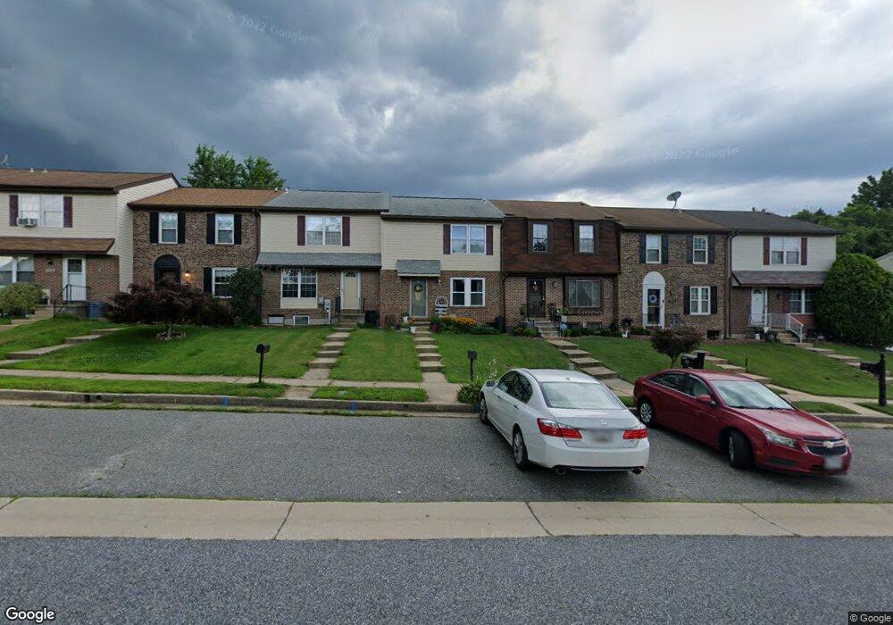
3912 Link Ave Nottingham, MD 21236
Estimated Value: $247,000 - $289,000
3
Beds
3
Baths
1,280
Sq Ft
$203/Sq Ft
Est. Value
About This Home
This home is located at 3912 Link Ave, Nottingham, MD 21236 and is currently estimated at $259,204, approximately $202 per square foot. 3912 Link Ave is a home located in Baltimore County with nearby schools including Perry Hall Elementary School, Perry Hall Middle School, and Perry Hall High School.
Ownership History
Date
Name
Owned For
Owner Type
Purchase Details
Closed on
Sep 28, 2010
Sold by
Reitz Ronald P
Bought by
Horn Dale W and Horn Cynthia K
Current Estimated Value
Purchase Details
Closed on
Jul 31, 2008
Sold by
Reitz Ronald P
Bought by
Reitz Ronald P and Reitz Eun Hui
Purchase Details
Closed on
Jul 29, 2008
Sold by
Reitz Ronald P
Bought by
Reitz Ronald P and Reitz Eun Hui
Purchase Details
Closed on
Jun 11, 2004
Sold by
Driver Joseph L
Bought by
Reitz Ronald P and Harris Mary E
Purchase Details
Closed on
Nov 10, 1997
Sold by
Garland Gerald A
Bought by
Driver Joseph L
Create a Home Valuation Report for This Property
The Home Valuation Report is an in-depth analysis detailing your home's value as well as a comparison with similar homes in the area
Home Values in the Area
Average Home Value in this Area
Purchase History
| Date | Buyer | Sale Price | Title Company |
|---|---|---|---|
| Horn Dale W | $138,050 | -- | |
| Reitz Ronald P | -- | -- | |
| Reitz Ronald P | -- | -- | |
| Reitz Ronald P | $118,500 | -- | |
| Driver Joseph L | $81,500 | -- |
Source: Public Records
Tax History
| Year | Tax Paid | Tax Assessment Tax Assessment Total Assessment is a certain percentage of the fair market value that is determined by local assessors to be the total taxable value of land and additions on the property. | Land | Improvement |
|---|---|---|---|---|
| 2025 | -- | $185,067 | -- | -- |
| 2024 | $2,947 | $174,933 | $0 | $0 |
| 2023 | $3,121 | $164,800 | $64,000 | $100,800 |
| 2022 | $2,709 | $158,700 | $0 | $0 |
| 2021 | $2,375 | $152,600 | $0 | $0 |
| 2020 | $3,046 | $146,500 | $64,000 | $82,500 |
| 2019 | $3,051 | $145,667 | $0 | $0 |
| 2018 | $799 | $144,833 | $0 | $0 |
| 2017 | $739 | $144,000 | $0 | $0 |
| 2016 | -- | $141,833 | $0 | $0 |
| 2015 | -- | $139,667 | $0 | $0 |
| 2014 | -- | $137,500 | $0 | $0 |
Source: Public Records
Map
Nearby Homes
- 3702 Timahoe Cir
- 27 Cavan Green
- 13 Leinster Garth
- 4106 Link Ave
- 3702 E Joppa Rd
- 8876 Paddock Ln
- 19 Derwood Ct
- 8713 Belair Rd
- 4213 Mispillion Rd
- 9036 Simms Ct
- 9 Slavin Ct
- 3 Slavin Ct
- 4231 Plumer Ave
- 9046 Naygall Rd
- 25 Arwell Ct
- 3505 E Joppa Rd
- 24 Lerner Ct
- 4234 Necker Ave
- 9318 Hines Estates Dr
- 4222 Klosterman Ave
Your Personal Tour Guide
Ask me questions while you tour the home.