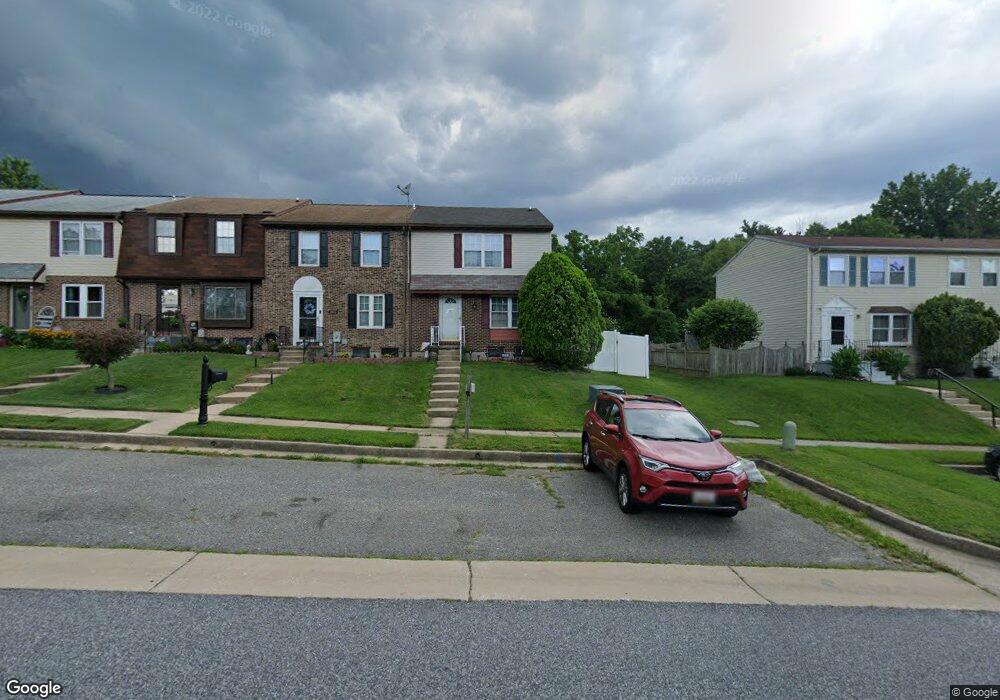
3918 Link Ave Nottingham, MD 21236
Estimated Value: $283,000 - $323,000
About This Home
This home is located at 3918 Link Ave, Nottingham, MD 21236 and is currently estimated at $304,598, approximately $237 per square foot. 3918 Link Ave is a home located in Baltimore County with nearby schools including Perry Hall Elementary School, Perry Hall Middle School, and Perry Hall High School.
Ownership History
We collect this data history from publicly available records. To have your information removed, we recommend requesting removal directly through your county’s website.
Purchase Details
Home Financials for this Owner
Home Financials are based on the most recent Mortgage that was taken out on this home.Purchase Details
Purchase Details
Purchase Details
Home Values in the Area
Average Home Value in this Area
Purchase History
We collect this data history from publicly available records. To have your information removed, we recommend requesting removal directly through your county’s website.
| Date | Buyer | Sale Price | Title Company |
|---|---|---|---|
| $187,500 | Sage Title Group Llc | ||
| $120,000 | -- | ||
| -- | -- | ||
| $79,000 | -- |
Mortgage History
We collect this data history from publicly available records. To have your information removed, we recommend requesting removal directly through your county’s website.
| Date | Status | Borrower | Loan Amount |
|---|---|---|---|
| Open | $144,000 |
Tax History
We collect this data history from publicly available records. To have your information removed, we recommend requesting removal directly through your county’s website.
| Year | Tax Paid | Tax Assessment Tax Assessment Total Assessment is a certain percentage of the fair market value that is determined by local assessors to be the total taxable value of land and additions on the property. | Land | Improvement |
|---|---|---|---|---|
| 2025 | $3,467 | $234,967 | -- | -- |
| 2024 | $3,467 | $222,233 | $0 | $0 |
| 2023 | $1,702 | $209,500 | $66,000 | $143,500 |
| 2022 | $3,160 | $200,600 | $0 | $0 |
| 2021 | $2,911 | $191,700 | $0 | $0 |
| 2020 | $2,459 | $182,800 | $66,000 | $116,800 |
| 2019 | $2,668 | $181,467 | $0 | $0 |
| 2018 | $2,540 | $180,133 | $0 | $0 |
| 2017 | $2,848 | $178,800 | $0 | $0 |
| 2016 | $2,335 | $173,500 | $0 | $0 |
| 2015 | $2,335 | $168,200 | $0 | $0 |
| 2014 | $2,335 | $162,900 | $0 | $0 |
Map
- 31 Kilbeggan Green
- 3790 Timahoe Cir
- 8888 Paddock Ln
- 3723 Foxford Stream Rd
- 3610 E Joppa Rd
- 8819 Jasper Ln
- 3608 E Joppa Rd
- 29 Redare Ct
- 3614 Fawn Spring Ct
- 9311 Hines Estates Dr
- 8713 Belair Rd
- 4205 Winterode Way
- 9046 Naygall Rd
- 9318 Hines Estates Dr
- 16 Slavin Ct
- 3505 E Joppa Rd
- 9711 Magledt Rd
- 3 Slavin Ct
- 8 Amys Way Ct
- 4231 Plumer Ave
- 8813 Ridgelys Choice Dr
- 8815 Ridgelys Choice Dr
- 8811 Ridgelys Choice Dr
- 8817 Ridgelys Choice Dr
- 8809 Ridgelys Choice Dr
- 15 Kilbeggan Green
- 17 Kilbeggan Green
- 13 Kilbeggan Green
- 11 Kilbeggan Green
- 8819 Ridgelys Choice Dr
- 8807 Ridgelys Choice Dr
- 7 Kilbeggan Green
- 5 Kilbeggan Green
- 3 Kilbeggan Green
- 19 Kilbeggan Green
- 1 Kilbeggan Green
- 21 Kilbeggan Green
- 23 Kilbeggan Green
- 1 Leinster Garth
- 2 Leinster Garth
Ask me questions while you tour the home.