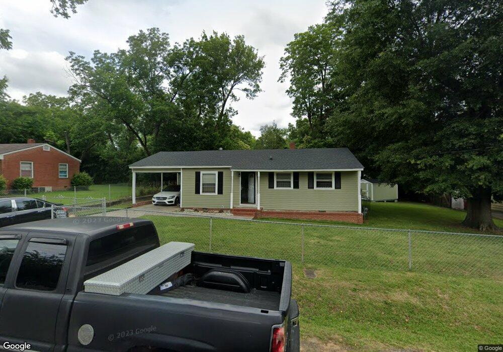
3921 Blair Ct Macon, GA 31206
Estimated Value: $82,149 - $97,000
3
Beds
1
Bath
900
Sq Ft
$97/Sq Ft
Est. Value
About This Home
This home is located at 3921 Blair Ct, Macon, GA 31206 and is currently estimated at $87,537, approximately $97 per square foot. 3921 Blair Ct is a home located in Bibb County with nearby schools including Veterans Elementary School, Southwest High School, and Gilead Christian Academy.
Ownership History
Date
Name
Owned For
Owner Type
Purchase Details
Closed on
Oct 25, 2024
Sold by
Dudley Roselyn K and Dudley-Poole Rosalyn Katrina
Bought by
Dudley-Poole Rosalyn Katrina
Current Estimated Value
Home Financials for this Owner
Home Financials are based on the most recent Mortgage that was taken out on this home.
Original Mortgage
$84,800
Outstanding Balance
$80,950
Interest Rate
5.15%
Mortgage Type
New Conventional
Estimated Equity
$6,587
Purchase Details
Closed on
May 28, 1999
Bought by
Dudley Rosalyn K
Create a Home Valuation Report for This Property
The Home Valuation Report is an in-depth analysis detailing your home's value as well as a comparison with similar homes in the area
Purchase History
We collect this data history from publicly available records. To have your information removed, we recommend requesting removal directly through your county’s website.
| Date | Buyer | Sale Price | Title Company |
|---|---|---|---|
| Dudley-Poole Rosalyn Katrina | -- | Title365 | |
| Dudley-Poole Rosalyn Katrina | -- | Title365 | |
| Dudley Rosalyn K | $42,500 | -- |
Source: Public Records
Mortgage History
We collect this data history from publicly available records. To have your information removed, we recommend requesting removal directly through your county’s website.
| Date | Status | Borrower | Loan Amount |
|---|---|---|---|
| Open | Dudley-Poole Rosalyn Katrina | $84,800 | |
| Closed | Dudley-Poole Rosalyn Katrina | $84,800 |
Source: Public Records
Tax History
| Year | Tax Paid | Tax Assessment Tax Assessment Total Assessment is a certain percentage of the fair market value that is determined by local assessors to be the total taxable value of land and additions on the property. | Land | Improvement |
|---|---|---|---|---|
| 2025 | $323 | $20,164 | $2,280 | $17,884 |
| 2024 | $334 | $20,164 | $2,280 | $17,884 |
| 2023 | $390 | $20,164 | $2,280 | $17,884 |
| 2022 | $384 | $18,092 | $4,128 | $13,964 |
| 2021 | $421 | $18,092 | $4,128 | $13,964 |
| 2020 | $431 | $18,092 | $4,128 | $13,964 |
| 2019 | $434 | $18,092 | $4,128 | $13,964 |
| 2018 | $845 | $18,092 | $4,128 | $13,964 |
| 2017 | $416 | $18,092 | $4,128 | $13,964 |
| 2016 | $372 | $17,744 | $4,128 | $13,617 |
| 2015 | $527 | $17,744 | $4,128 | $13,617 |
| 2014 | $657 | $17,744 | $4,128 | $13,617 |
Source: Public Records
Map
Nearby Homes
- 3842 Wynnwood Dr
- 5285 Greenwood Terrace
- 5060 Pinefield Dr
- 5081 Nisbet Dr
- 3644 Pine Forest Rd
- 140 Spencer Hill Ct
- 2552 Allan Way
- 5415 Finsbury Dr
- 5317 Nisbet Dr
- 4742 Bloomfield Rd
- 4500 Chambers Rd
- 3120 Bloomfield Dr
- 2972 Richard Dr
- 165 Camden Trace
- 189 Camden Trace
- 120 Camden Trace
- 124 Camden Trace
- 193 Camden Trace
- 2311 Lancelot Place
- 3078 Alfred Dr
- 3929 Blair Ct
- 5213 Bloomfield Rd
- 3920 Blair Ct
- 3912 Blair Ct
- 3928 Blair Ct
- 3937 Blair Ct
- 3905 Blair Ct
- 3936 Blair Ct
- 3904 Blair Ct
- 5211 Bloomfield Rd
- 3945 Blair Ct
- 5191 Bloomfield Rd
- 3936 Nisbet Rd
- 3944 Blair Ct
- 3942 Nisbet Rd
- 5224 Bloomfield Rd
- 3953 Blair Ct
- 3952 Blair Ct
- 5204 Bloomfield Rd
- 3948 Nisbet Rd
Your Personal Tour Guide
Ask me questions while you tour the home.