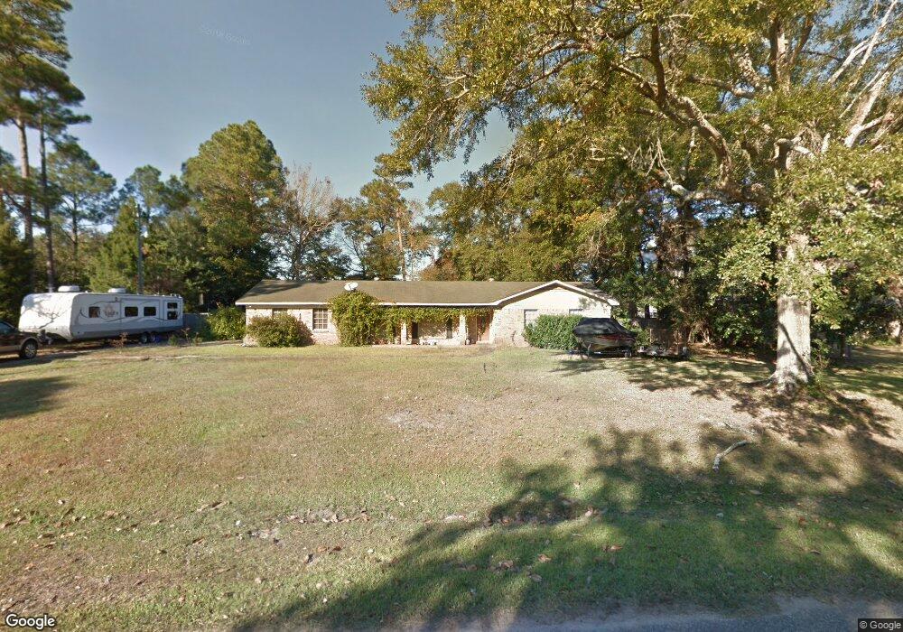
3924 Point Rd Mobile, AL 36619
Cypress Shores NeighborhoodEstimated Value: $219,873 - $317,000
3
Beds
2
Baths
2,124
Sq Ft
$118/Sq Ft
Est. Value
About This Home
This home is located at 3924 Point Rd, Mobile, AL 36619 and is currently estimated at $249,968, approximately $117 per square foot. 3924 Point Rd is a home located in Mobile County with nearby schools including Mary W Burroughs Elementary School, Katherine H Hankins Middle School, and Theodore High School.
Ownership History
Date
Name
Owned For
Owner Type
Purchase Details
Closed on
Dec 29, 1999
Sold by
Wayne Hall Billy and Kay Lisa Kay
Bought by
Methvin Donnie E and Methvin Marci D
Current Estimated Value
Home Financials for this Owner
Home Financials are based on the most recent Mortgage that was taken out on this home.
Original Mortgage
$97,694
Interest Rate
7.68%
Mortgage Type
FHA
Purchase Details
Closed on
Feb 16, 1998
Sold by
Perryman Henry E and Perryman Darlene G
Bought by
Hall Billy Wayne and Hall Lisa Kay
Home Financials for this Owner
Home Financials are based on the most recent Mortgage that was taken out on this home.
Original Mortgage
$76,950
Interest Rate
6.89%
Create a Home Valuation Report for This Property
The Home Valuation Report is an in-depth analysis detailing your home's value as well as a comparison with similar homes in the area
Home Values in the Area
Average Home Value in this Area
Purchase History
| Date | Buyer | Sale Price | Title Company |
|---|---|---|---|
| Methvin Donnie E | -- | -- | |
| Hall Billy Wayne | -- | -- |
Source: Public Records
Mortgage History
| Date | Status | Borrower | Loan Amount |
|---|---|---|---|
| Previous Owner | Methvin Donnie E | $97,694 | |
| Previous Owner | Hall Billy Wayne | $76,950 |
Source: Public Records
Tax History
| Year | Tax Paid | Tax Assessment Tax Assessment Total Assessment is a certain percentage of the fair market value that is determined by local assessors to be the total taxable value of land and additions on the property. | Land | Improvement |
|---|---|---|---|---|
| 2025 | $2,169 | $17,000 | $2,500 | $14,500 |
| 2024 | $2,169 | $16,290 | $2,400 | $13,890 |
| 2023 | $2,079 | $15,350 | $2,360 | $12,990 |
| 2022 | $1,617 | $12,730 | $2,000 | $10,730 |
| 2021 | $1,617 | $12,730 | $2,000 | $10,730 |
| 2020 | $1,617 | $12,730 | $2,000 | $10,730 |
| 2019 | $1,455 | $11,460 | $2,000 | $9,460 |
| 2018 | $1,455 | $22,920 | $0 | $0 |
| 2017 | $1,455 | $22,920 | $0 | $0 |
| 2016 | $1,492 | $23,500 | $0 | $0 |
| 2013 | $597 | $10,220 | $0 | $0 |
Source: Public Records
Map
Nearby Homes
- 3914 Blue Gill Cir
- 4087 Canal Cir E
- 4525 Brentwood Dr
- 4219 Canal Dr
- 3847 Riviere Du Chien Rd
- 0 Audubon Dr Unit 7716268
- 3500 Higgins Rd
- 5001 Audubon Dr
- 3921 Saint Andrews Dr E
- 3921 St Andrews Dr E
- 0 St Andrews Dr E Unit 7510683
- 5030 Cole Dr E
- 4604 Cypress Park Dr
- 3112 Riviere Du Chien Loop W
- 4039 Leighton Place Dr
- 4043 Leighton Place Dr
- 0 Downey Dr Unit 7684534
- 4035 Leighton Place Dr
- 4062 Leighton Place Dr
- 4323 Downey Dr
- 3910 Point Rd
- 3936 Point Rd
- 3947 Blue Gill Cir
- 3921 Point Rd
- 3929 Blue Gill Cir
- 3937 Blue Gill Cir
- 3931 Point Rd
- 3900 Point Rd
- 3919 Blue Gill Cir
- 3941 Point Rd
- 11285 Point Rd
- 3909 Blue Gill Cir
- 3901 Point Rd
- 3957 Point Rd Unit 10
- 3957 Point Rd
- 3880 Point Rd
- 3987 Blue Gill Cir
- 3978 Point Rd
- 3975 Blue Gill Cir
- 3881 Point Rd
Your Personal Tour Guide
Ask me questions while you tour the home.