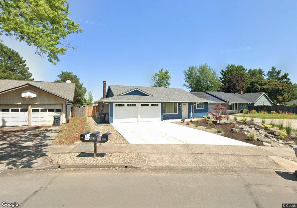
3927 Pam St Eugene, OR 97402
Churchill NeighborhoodEstimated Value: $376,000 - $399,047
3
Beds
2
Baths
1,252
Sq Ft
$306/Sq Ft
Est. Value
About This Home
This home is located at 3927 Pam St, Eugene, OR 97402 and is currently estimated at $383,512, approximately $306 per square foot. 3927 Pam St is a home located in Lane County with nearby schools including Twin Oaks Elementary School, Kennedy Middle School, and Churchill High School.
Ownership History
Date
Name
Owned For
Owner Type
Purchase Details
Closed on
Apr 13, 2004
Sold by
Daugherty Jackie
Bought by
Levitt Jon P and Levitt Lisa M
Current Estimated Value
Home Financials for this Owner
Home Financials are based on the most recent Mortgage that was taken out on this home.
Original Mortgage
$140,692
Outstanding Balance
$65,292
Interest Rate
5.57%
Mortgage Type
FHA
Estimated Equity
$318,220
Purchase Details
Closed on
Feb 13, 2002
Sold by
Depuy John William and Depuy Roberta Deason
Bought by
Lilledal Myrna A
Create a Home Valuation Report for This Property
The Home Valuation Report is an in-depth analysis detailing your home's value as well as a comparison with similar homes in the area
Home Values in the Area
Average Home Value in this Area
Purchase History
| Date | Buyer | Sale Price | Title Company |
|---|---|---|---|
| Levitt Jon P | $142,900 | Western Pioneer Title Co | |
| Lilledal Myrna A | $130,000 | Fidelity National Title Co |
Source: Public Records
Mortgage History
| Date | Status | Borrower | Loan Amount |
|---|---|---|---|
| Open | Levitt Jon P | $140,692 |
Source: Public Records
Tax History
| Year | Tax Paid | Tax Assessment Tax Assessment Total Assessment is a certain percentage of the fair market value that is determined by local assessors to be the total taxable value of land and additions on the property. | Land | Improvement |
|---|---|---|---|---|
| 2025 | $4,008 | $205,726 | -- | -- |
| 2024 | $3,958 | $199,734 | -- | -- |
| 2023 | $3,958 | $193,917 | $0 | $0 |
| 2022 | $3,708 | $188,269 | $0 | $0 |
| 2021 | $3,483 | $182,786 | $0 | $0 |
| 2020 | $3,495 | $177,463 | $0 | $0 |
| 2019 | $3,376 | $172,295 | $0 | $0 |
| 2018 | $3,178 | $162,405 | $0 | $0 |
| 2017 | $3,035 | $162,405 | $0 | $0 |
| 2016 | $2,916 | $157,675 | $0 | $0 |
| 2015 | $2,783 | $153,083 | $0 | $0 |
| 2014 | $2,736 | $148,624 | $0 | $0 |
Source: Public Records
Map
Nearby Homes
- 3826 Peppertree Dr
- 1415 S Bertelsen Rd Unit 96
- 1415 S Bertelsen Rd Unit 34
- 1415 S Bertelsen Rd Unit 143
- 3958 Pam St
- 3705 Peppertree Dr
- 1925 Harvard Dr
- 1885 Churchill St
- 1625 S Bertelsen Rd
- 1980 Princeton Dr
- 3534 Westleigh St
- 1438 Quaker St
- 1326 Quaker St
- 1580 Brittany St
- 1365 Quaker St
- 3315 W 18th Ave
- 3823 Wilshire Ln
- 3899 Colony Oaks Dr
- 2953 W 15th Ave
- 0 Wallis St Unit 19292181
Your Personal Tour Guide
Ask me questions while you tour the home.