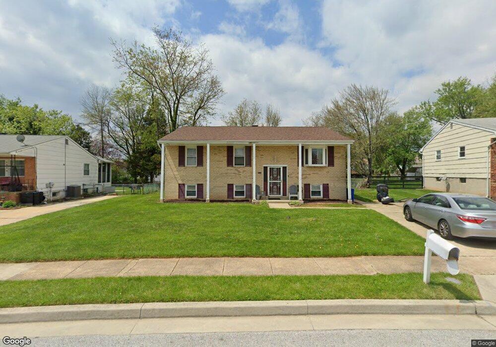
3930 Sybil Rd Randallstown, MD 21133
Randallstown AreaEstimated Value: $345,000 - $428,000
About This Home
This home is located at 3930 Sybil Rd, Randallstown, MD 21133 and is currently estimated at $373,563, approximately $283 per square foot. 3930 Sybil Rd is a home located in Baltimore County with nearby schools including Winand Elementary School, Northwest Academy of Health Sciences, and Randallstown High School.
Ownership History
We collect this data history from publicly available records. To have your information removed, we recommend requesting removal directly through your county’s website.
Purchase Details
Home Financials for this Owner
Home Financials are based on the most recent Mortgage that was taken out on this home.Purchase Details
Purchase Details
Home Values in the Area
Average Home Value in this Area
Purchase History
We collect this data history from publicly available records. To have your information removed, we recommend requesting removal directly through your county’s website.
| Date | Buyer | Sale Price | Title Company |
|---|---|---|---|
| -- | None Available | ||
| $119,000 | -- | ||
| $60,000 | -- |
Mortgage History
We collect this data history from publicly available records. To have your information removed, we recommend requesting removal directly through your county’s website.
| Date | Status | Borrower | Loan Amount |
|---|---|---|---|
| Open | $216,000 | ||
| Closed | $188,000 | ||
| Closed | $188,000 | ||
| Closed | $155,267 | ||
| Closed | $58,446 | ||
| Open | $600,000 | ||
| Closed | $170,000 |
Tax History
We collect this data history from publicly available records. To have your information removed, we recommend requesting removal directly through your county’s website.
| Year | Tax Paid | Tax Assessment Tax Assessment Total Assessment is a certain percentage of the fair market value that is determined by local assessors to be the total taxable value of land and additions on the property. | Land | Improvement |
|---|---|---|---|---|
| 2025 | $4,901 | $300,067 | ||
| 2024 | $4,901 | $278,100 | $74,700 | $203,400 |
| 2023 | $1,781 | $261,567 | $0 | $0 |
| 2022 | $3,490 | $245,033 | $0 | $0 |
| 2021 | $3,108 | $228,500 | $56,700 | $171,800 |
| 2020 | $3,570 | $225,167 | $0 | $0 |
| 2019 | $2,689 | $221,833 | $0 | $0 |
| 2018 | $2,990 | $218,500 | $56,700 | $161,800 |
| 2017 | $2,756 | $202,100 | $0 | $0 |
| 2016 | $2,576 | $185,700 | $0 | $0 |
| 2015 | $2,576 | $169,300 | $0 | $0 |
| 2014 | $2,576 | $169,300 | $0 | $0 |
Map
- 8516 Side Saddle Ct
- 4007 Mcdonogh Rd
- 6 Paige View Ct
- 4003 Paige View Rd
- 26 Arabian Ct
- 4023 Paige View Rd
- 4308 Pinefield Ct
- 4303 Huntshire Rd
- 3722 Brenbrook Dr
- 3709 Lamoine Rd
- 3910 Carthage Rd
- 3719 Brentford Rd
- 9110 Meadow Heights Rd
- 3703 Norris Ave Norris Ave
- 8805 Stone Ridge Cir Unit 304
- 8809 Stone Ridge Cir Unit 103
- 8809 Stone Ridge Cir Unit 201
- 3708 Cassen Rd
- 3908 Tevis Cir
- 3829 Elmcroft Rd
Ask me questions while you tour the home.