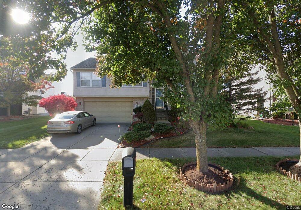
39333 Commons Dr Romulus, MI 48174
Estimated Value: $317,087 - $356,000
4
Beds
2
Baths
2,296
Sq Ft
$147/Sq Ft
Est. Value
About This Home
This home is located at 39333 Commons Dr, Romulus, MI 48174 and is currently estimated at $337,022, approximately $146 per square foot. 39333 Commons Dr is a home located in Wayne County with nearby schools including Wick Elementary School, Romulus Middle School, and Romulus Senior High School.
Ownership History
Date
Name
Owned For
Owner Type
Purchase Details
Closed on
Oct 16, 2002
Sold by
Pinehollow Commons Llc
Bought by
Mason Peter N
Current Estimated Value
Home Financials for this Owner
Home Financials are based on the most recent Mortgage that was taken out on this home.
Original Mortgage
$186,000
Outstanding Balance
$77,523
Interest Rate
6.08%
Estimated Equity
$259,499
Create a Home Valuation Report for This Property
The Home Valuation Report is an in-depth analysis detailing your home's value as well as a comparison with similar homes in the area
Home Values in the Area
Average Home Value in this Area
Purchase History
| Date | Buyer | Sale Price | Title Company |
|---|---|---|---|
| Mason Peter N | -- | -- |
Source: Public Records
Mortgage History
| Date | Status | Borrower | Loan Amount |
|---|---|---|---|
| Open | Mason Peter N | $186,000 |
Source: Public Records
Tax History
| Year | Tax Paid | Tax Assessment Tax Assessment Total Assessment is a certain percentage of the fair market value that is determined by local assessors to be the total taxable value of land and additions on the property. | Land | Improvement |
|---|---|---|---|---|
| 2025 | $2,662 | $149,700 | $0 | $0 |
| 2024 | $2,676 | $138,000 | $0 | $0 |
| 2023 | $2,567 | $131,500 | $0 | $0 |
| 2022 | $3,041 | $112,100 | $0 | $0 |
| 2021 | $2,946 | $98,600 | $0 | $0 |
| 2020 | $2,887 | $93,600 | $0 | $0 |
| 2019 | $2,892 | $86,500 | $0 | $0 |
| 2018 | $1,879 | $79,600 | $0 | $0 |
| 2017 | $1,420 | $78,800 | $0 | $0 |
| 2016 | $2,495 | $73,000 | $0 | $0 |
| 2015 | $4,924 | $59,600 | $0 | $0 |
| 2013 | $4,770 | $52,100 | $0 | $0 |
| 2012 | $1,431 | $50,400 | $4,700 | $45,700 |
Source: Public Records
Map
Nearby Homes
- 39025 Buckingham Dr
- 9069 Heritage Dr
- 7065 El Paso Blvd
- 0 Hannan Rd Unit 20261000615
- 11630 Ozga St
- 7175 Ozga St
- 37207 Ecorse Rd
- 6887 Haggerty Rd
- 7047 Haggerty Rd
- 9828 Barkley St
- 10401 Ozga St
- 40065 Interstate 94 S Service Dr
- 9722 Hamilton St
- 36617 Herman St
- 35773 Surrey Ct
- 42588 Ecorse Rd
- 36850 Perry St
- 36227 Vinewood St
- 42759 Leon Dr Unit 155
- 42802 Patty Ln Unit 92
- 39355 Commons Dr
- 39348 Nottingham Dr
- 39289 Commons Dr
- 39326 Nottingham Dr
- 39377 Commons Dr
- 8299 Clocktower Ct
- 39304 Nottingham Dr
- 8300 Clocktower Ct
- 39267 Commons Dr
- 8400 Camden Dr
- 39288 Commons Dr
- 39282 Nottingham Dr
- 8249 Clocktower Ct
- 8250 Clocktower Ct
- 39245 Commons Dr
- 39266 Commons Dr
- 39305 Nottingham Dr
- 39327 Nottingham Dr
- 8500 Camden Dr
- 39260 Nottingham Dr
Your Personal Tour Guide
Ask me questions while you tour the home.