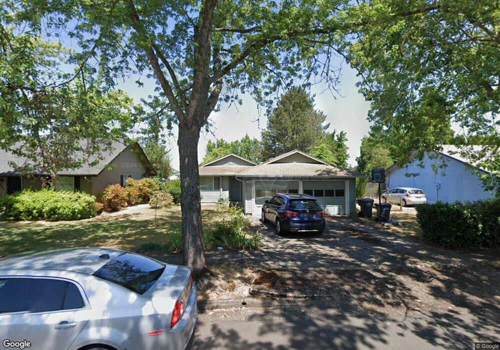
3941 Pam St Eugene, OR 97402
Churchill NeighborhoodEstimated Value: $376,000 - $399,000
3
Beds
2
Baths
1,256
Sq Ft
$308/Sq Ft
Est. Value
About This Home
This home is located at 3941 Pam St, Eugene, OR 97402 and is currently estimated at $387,390, approximately $308 per square foot. 3941 Pam St is a home located in Lane County with nearby schools including Twin Oaks Elementary School, Kennedy Middle School, and Churchill High School.
Ownership History
Date
Name
Owned For
Owner Type
Purchase Details
Closed on
Mar 23, 2023
Sold by
James John C and James Ayako Y
Bought by
James Joint Trust
Current Estimated Value
Purchase Details
Closed on
Mar 7, 2005
Sold by
Tomlinson David and Tomlinson Marisa
Bought by
James John C and James Ayako J
Home Financials for this Owner
Home Financials are based on the most recent Mortgage that was taken out on this home.
Original Mortgage
$133,800
Interest Rate
5.65%
Mortgage Type
Purchase Money Mortgage
Purchase Details
Closed on
Oct 10, 2002
Sold by
Pierce Robert W and Pierce Wendy G
Bought by
Tomlinson David and Tomlinson Marisa
Home Financials for this Owner
Home Financials are based on the most recent Mortgage that was taken out on this home.
Original Mortgage
$136,536
Interest Rate
5.88%
Mortgage Type
FHA
Purchase Details
Closed on
Dec 31, 1996
Sold by
Cummings Terry P and Cummings Joan D
Bought by
Pierce Robert W and Pierce Wendy G
Create a Home Valuation Report for This Property
The Home Valuation Report is an in-depth analysis detailing your home's value as well as a comparison with similar homes in the area
Home Values in the Area
Average Home Value in this Area
Purchase History
| Date | Buyer | Sale Price | Title Company |
|---|---|---|---|
| James Joint Trust | -- | -- | |
| James John C | $167,250 | Western Pioneer Title | |
| Tomlinson David | $138,685 | Western Pioneer Title Co | |
| Pierce Robert W | $105,500 | Western Pioneer Title Co |
Source: Public Records
Mortgage History
| Date | Status | Borrower | Loan Amount |
|---|---|---|---|
| Previous Owner | James John C | $133,800 | |
| Previous Owner | Tomlinson David | $136,536 |
Source: Public Records
Tax History
| Year | Tax Paid | Tax Assessment Tax Assessment Total Assessment is a certain percentage of the fair market value that is determined by local assessors to be the total taxable value of land and additions on the property. | Land | Improvement |
|---|---|---|---|---|
| 2025 | $3,970 | $203,772 | -- | -- |
| 2024 | $3,921 | $197,837 | -- | -- |
| 2023 | $3,921 | $192,075 | $0 | $0 |
| 2022 | $3,673 | $186,481 | $0 | $0 |
| 2021 | $3,450 | $181,050 | $0 | $0 |
| 2020 | $3,462 | $175,777 | $0 | $0 |
| 2019 | $3,344 | $170,658 | $0 | $0 |
| 2018 | $3,147 | $160,862 | $0 | $0 |
| 2017 | $3,007 | $160,862 | $0 | $0 |
| 2016 | $2,889 | $156,177 | $0 | $0 |
| 2015 | $2,763 | $151,628 | $0 | $0 |
| 2014 | $2,708 | $147,212 | $0 | $0 |
Source: Public Records
Map
Nearby Homes
- 1415 S Bertelsen Rd Unit 96
- 1415 S Bertelsen Rd Unit 34
- 1415 S Bertelsen Rd Unit 143
- 3958 Pam St
- 3826 Peppertree Dr
- 3705 Peppertree Dr
- 1925 Harvard Dr
- 1885 Churchill St
- 1625 S Bertelsen Rd
- 1980 Princeton Dr
- 3534 Westleigh St
- 1438 Quaker St
- 1326 Quaker St
- 1580 Brittany St
- 3315 W 18th Ave
- 3823 Wilshire Ln
- 3379 S Lambert St
- 3899 Colony Oaks Dr
- 2953 W 15th Ave
- 0 Wallis St Unit 19292181
- 3935 Pam St
- 3945 Pam St
- 3951 Pam St
- 3933 Pam St
- 3942 Pam St
- 3944 Pam St
- 3959 Pam St
- 3931 Pam St
- 3928 Pam St
- 3940 Pam St
- 3946 Pam St
- 1415 S Bertelsen Rd Unit 34
- 1415 S Bertelsen Rd Unit 88
- 1415 S Bertelsen Rd Unit 36
- 1415 S Bertelsen Rd Unit 59
- 1415 S Bertelsen Rd Unit 54
- 1415 S Bertelsen Rd Unit 52
- 1415 S Bertelsen Rd Unit 76
- 1415 S Bertelsen Rd Unit 31
- 1415 S Bertelsen Rd Unit 160
Your Personal Tour Guide
Ask me questions while you tour the home.