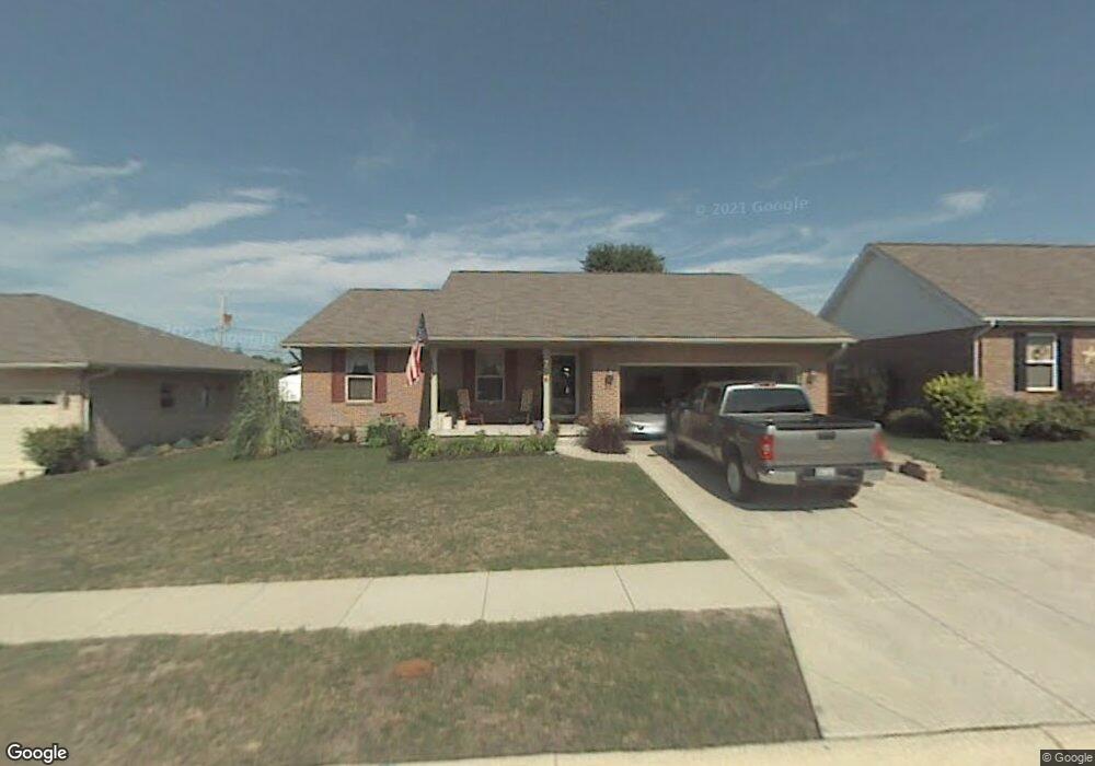
3948 Harris Ln Springfield, OH 45503
Estimated Value: $271,000 - $326,000
3
Beds
2
Baths
1,519
Sq Ft
$193/Sq Ft
Est. Value
About This Home
This home is located at 3948 Harris Ln, Springfield, OH 45503 and is currently estimated at $292,415, approximately $192 per square foot. 3948 Harris Ln is a home located in Clark County with nearby schools including Northridge Elementary School, Kenton Ridge Middle & High School, and Emmanuel Christian Academy.
Ownership History
Date
Name
Owned For
Owner Type
Purchase Details
Closed on
May 24, 2002
Sold by
Hoppes Builders & Development Co
Bought by
Goltzene Craig M and Goltzene Vicki S
Current Estimated Value
Home Financials for this Owner
Home Financials are based on the most recent Mortgage that was taken out on this home.
Original Mortgage
$105,000
Outstanding Balance
$43,447
Interest Rate
7.07%
Mortgage Type
Purchase Money Mortgage
Estimated Equity
$248,968
Create a Home Valuation Report for This Property
The Home Valuation Report is an in-depth analysis detailing your home's value as well as a comparison with similar homes in the area
Home Values in the Area
Average Home Value in this Area
Purchase History
| Date | Buyer | Sale Price | Title Company |
|---|---|---|---|
| Goltzene Craig M | $135,600 | -- |
Source: Public Records
Mortgage History
| Date | Status | Borrower | Loan Amount |
|---|---|---|---|
| Open | Goltzene Craig M | $105,000 |
Source: Public Records
Tax History
| Year | Tax Paid | Tax Assessment Tax Assessment Total Assessment is a certain percentage of the fair market value that is determined by local assessors to be the total taxable value of land and additions on the property. | Land | Improvement |
|---|---|---|---|---|
| 2025 | $2,705 | $89,570 | $14,570 | $75,000 |
| 2024 | $2,643 | $71,660 | $12,510 | $59,150 |
| 2023 | $2,643 | $71,660 | $12,510 | $59,150 |
| 2022 | $2,670 | $71,660 | $12,510 | $59,150 |
| 2021 | $2,152 | $51,720 | $10,010 | $41,710 |
| 2020 | $2,154 | $51,720 | $10,010 | $41,710 |
| 2019 | $2,195 | $51,720 | $10,010 | $41,710 |
| 2018 | $2,215 | $50,280 | $7,760 | $42,520 |
| 2017 | $1,899 | $46,606 | $7,763 | $38,843 |
| 2016 | $1,886 | $46,606 | $7,763 | $38,843 |
| 2015 | $1,785 | $46,239 | $7,396 | $38,843 |
| 2014 | $1,785 | $46,239 | $7,396 | $38,843 |
| 2013 | $1,743 | $46,239 | $7,396 | $38,843 |
Source: Public Records
Map
Nearby Homes
- 1644 Delmar Dr
- 1415 Montego Dr
- 4256 Midfield St Unit 9
- 1500 Kingsgate Rd Unit 19430
- 1502 Kingsgate Rd Unit 19432
- 1500 Kingsgate Rd
- 1502 Kingsgate Rd
- 1503 Kingsgate Rd
- 1505 Kingsgate Rd
- 3631 Kingsgate Ln
- 1507 Kingsgate Rd
- 4322 Midfield St Unit 15
- 1811 Saint Andrews Ct
- 1201 Kingsgate Rd
- 1341 Student Ave
- 1162 Kingsgate Rd
- 4446 Ridgewood Rd E Unit 3
- 4028 Ryland Dr Unit 4028
- 4577 Reno Ln Unit 2
- 4652 Reno Ln Unit 15
Your Personal Tour Guide
Ask me questions while you tour the home.